Mississippi Township in Columbus in Hickman County, Kentucky — The American South (East South Central)
Columbus-Belmont
Photographed by Paul Fehrenbach, May 14, 2024
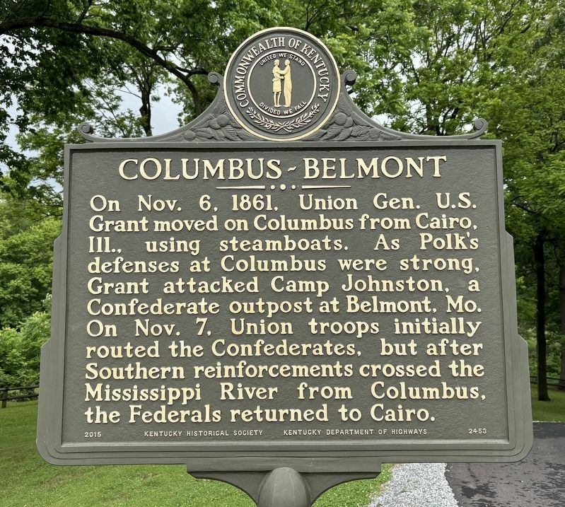
1. Columbus-Belmont Marker
Reverse:
On Nov. 6, 1861, Union Gen. U.S. Grant moved on Columbus from Cairo, Ill., using steamboats. As Polk’s defenses at Columbus were strong, Grant attacked Camp Johnston, a Confederate outpost at Belmont, Mo. On Nov. 7, Union troops initially routed the Confederates, but after Southern reinforcements crossed the Mississippi River from Columbus, the Federals returned to Cairo.
Erected 2015 by Kentucky Historical Society, Kentucky Department of Highways. (Marker Number 2453.)
Topics. This historical marker is listed in this topic list: War, US Civil. A significant historical date for this entry is November 6, 1861.
Location. 36° 45.905′ N, 89° 6.714′ W. Marker is in Columbus, Kentucky, in Hickman County. It is in Mississippi Township. It can be reached from Park Road. Marker is located within Columbus
this page online

Regionally, this marker is in Kentucky’s Jackson Purchase. It is also in the American Midwest, in the South, and specifically in the Upper South. Globally, it is in North America, the Western Hemisphere, the Western World, and the Anglosphere. Historically, it finds itself in what was once the territory of the Mississippian Culture and also the Antebellum South.
Other nearby markers. At least 8 other markers are within walking distance of this marker: Fourth United States Colored Heavy Artillery (within shouting distance of this marker); African Americans at Columbus during the Civil War (within shouting distance of this marker); Earthquakes Along the Mississippi (within shouting distance of this marker); A River View of History (about 300 feet away, measured in a direct line); Columbus - A Town Transformed (about 400 feet away); Marion Rust (1879-1958) (about 400 feet away); "Gibraltar of the West" (about 400 feet away);

Photographed by Paul Fehrenbach, May 14, 2024
2. Columbus-Belmont Marker
Photographed by Paul Fehrenbach, May 14, 2024
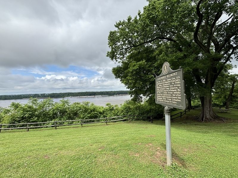
3. Columbus-Belmont Marker
looking northwest toward Mississippi River
Photographed by Paul Fehrenbach, May 14, 2024
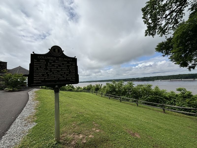
4. Columbus-Belmont Marker
looking southwest toward the Mississippi River
Credits. This page was last revised on June 13, 2025. It was originally submitted on June 12, 2025, by Paul Fehrenbach of Richfield, Wisconsin. This page has been viewed 187 times since then and 33 times this year. Photos: 1, 2, 3, 4. submitted on June 12, 2025, by Paul Fehrenbach of Richfield, Wisconsin. • James Hulse was the editor who published this page.
