Van Buren in Carter County, Missouri — The American Midwest (Upper Plains)
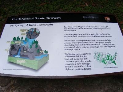
Big Spring: A Karst Topography
Ozark National Scenic Riverways
| — | National Park Service, U.S. Department of the Interior | — |
Photographed by Don Morfe, July 4, 2010
1. Big Spring-A Karst Topography Marker
Karst is a special type of landscape that is formed by the dissolution of soluble rocks, including limestone and dolomite.
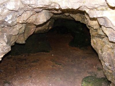
A karst topography is characterized by rolling hills, deep hollows springs, caves, sinkholes and tunnels. Rain water, seeping through soil, becomes slightly acidic. Water penetrates cracks and joints, slowly dissolving porous limestone bedrock. Through time, cracks and joints enlarge, creating a vast underground drainage system.
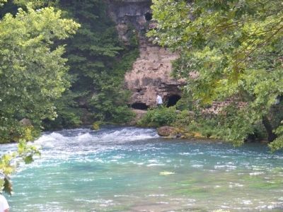
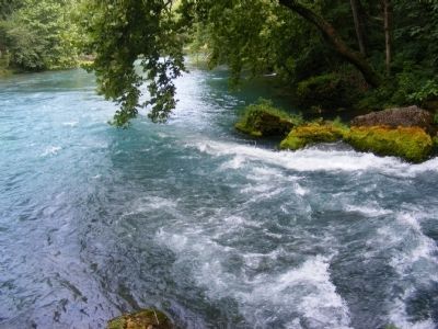
Big Spring carries 173 tons of dissolved dolomite bedrock away in a day. Over one year, this would equate to a new passage about 11 feet wide, 12 feet high and 1 mile in length.
Erected by National Park Service, U.S. Department of the Interior.
Topics. This historical marker is listed in this topic list: Natural Features.
Location. 36° 57.151′ N, 90° 59.651′ W. Marker is in Van Buren, Missouri, in Carter County. It can be reached from Pea Vine Road. Touch for map. Marker is in this post office area: Van Buren MO 63965, United States of America. Touch for directions.

Regionally, this marker is in Southeast Missouri.
this page online
Other nearby markers. At least 7 other markers are within 4 miles of this marker, measured as the crow flies: Big Spring (within shouting distance of this marker); There Was Work To Be Done (approx. 0.3 miles away); Camp Hains - 1710 (approx. 0.3 miles away); CCC - A Peace-Time Army (approx. 0.3 miles away); Building Human Happiness (approx. 0.4 miles away); Van Buren (approx. 3.2 miles away); Carter County Veterans Memorial (approx. 3.2 miles away).
Photographed by Don Morfe, July 4, 2010
2. Ozark National Scenic Riverway
Photographed by Don Morfe, July 4, 2010
3. Ozark National Scenic Riverway
Photographed by Don Morfe, July 4, 2010
4. Ozark National Scenic Riverway
Photographed by Don Morfe, July 4, 2010
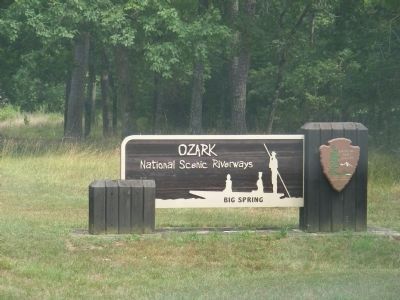
5. Ozark National Scenic Riverways
Credits. This page was last revised on June 26, 2025. It was originally submitted on December 10, 2012, by Don Morfe of Baltimore, Maryland. This page has been viewed 936 times since then and 61 times this year. Last updated on June 12, 2025, by Edward Troxel of Creal Springs, Illinois. Photos: 1, 2, 3, 4, 5. submitted on December 10, 2012, by Don Morfe of Baltimore, Maryland. • Devry Becker Jones was the editor who published this page.
