Federal Triangle in Northwest Washington in Washington, District of Columbia — The American Northeast (Mid-Atlantic)
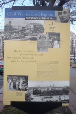
Market Space: Yesterday’s Town Square
Civil War to Civil Rights
— Downtown Heritage Trail —
Hay for the horses,
produce for the table,
live chickens for the pot,
and a hat for your head.”
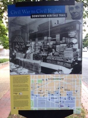
All this and more could be had right here during the Civil War. The triangular area just ahead to your left was called Major Space. The city’s sprawling City Market stood just to your left, where the National Archives is today.
The jumbled haymarket, indispensable in a world of horse-drawn vehicles, was just west of the City Market on Ninth Street. Up and down Pennsylvania Avenue a shopper could find clothing and other necessities in the little stores nestled between the city’s most popular boarding houses and hotels.
This area was the heart of 19th Century Washington. Seventh Street was the main route for farmers traveling to and from the city with their produce. During the Civil War, it was a strategic route for soldiers traveling to some of the 68 forts that surrounded the city. Pennsylvania Avenue linked the White House and the Capitol. For more than a century, the place where these streets crossed would be the city’s town square.
Erected by Cultural Tourism DC. (Marker Number .1.)
Topics and series. This historical marker is listed in these topic lists: Animals • Industry & Commerce • Roads & Vehicles • War, US Civil. In addition, it is included in the Downtown Heritage Trail series list.
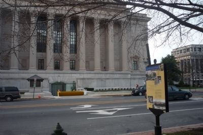
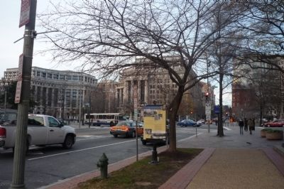
Location. 38° 53.567′ N, 77° 1.307′ W. Marker is in Northwest Washington in Washington, District of Columbia. It is in Federal Triangle. Marker is on 7th Street Northwest south of Pennsylvania Avenue Northwest, on the right when traveling north. Touch for map. Marker is at or near this postal address: 600 Pennsylvania Avenue Northwest, Washington DC 20580, United States of America. Touch for directions.
Other nearby markers. At least 8 other markers are within walking distance of this marker. National Intelligencer (within shouting distance of this marker); National Council of Negro Women (within shouting distance of this marker); Grand Army of the Republic (about 300 feet away, measured in a direct line); General Winfield Scott Hancock (about 400 feet away); 601 Pennsylvania Avenue (about 400 feet away); Protecting Consumers and Competition (about 400 feet away); America's Main Street (about 500 feet away); Ceremony at the Crossroads (about 500 feet away). Touch for a list and map of all markers in Northwest Washington.
Credits. This page was last revised on January 30, 2023. It was originally submitted on February 14, 2010, by Richard E. Miller of Oxon Hill, Maryland. This page has been viewed 1,329 times since then and 58 times this year. Photos: 1. submitted on February 14, 2010, by Richard E. Miller of Oxon Hill, Maryland. 2. submitted on July 1, 2012, by Craig Swain of Leesburg, Virginia. 3, 4. submitted on February 14, 2010, by Richard E. Miller of Oxon Hill, Maryland. • Craig Swain was the editor who published this page.


