Campbellford in Northumberland County, Ontario — Central Canada (North America)
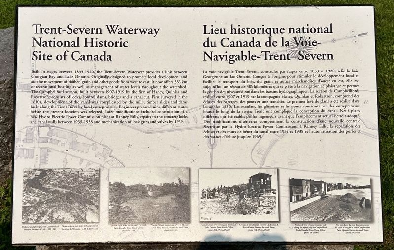
Trent-Severn Waterway National Historic Site of Canada
Lieu historique national du Canada de la Voie-Navigable-Trent-Severn
Photographed by Tim Boyd, June 7, 2025
1. Trent-Severn Waterway National Historic Site of Canada Marker

Built in stages between 1833-1920, the Trent-Severn Waterway provides a link between Georgian Bay and Lake Ontario. Originally designed to promote local development and aid the movement of timber, grain and other goods from west to east, it now offers 386 km of recreational boating as well as management of water levels throughout the watershed. The Campbellford section, built between 1907-1919 by the firm of Haney, Quinlan and Robertson, consists of locks, control dams, bridges and a canal cut. First surveyed in the 1830s, development of the canal was complicated by the mills, timber slides and dams built along the Trent River by local entrepreneurs. Engineers prepared nine different routes before the present location was selected. Later modifications included construction of a new Hydro Electric Power Commission plant at Ranney Falls, repairs to the concrete locks and canal walls between 1935-1938 and mechanization of lock gates and valves by 1969.
La voie navigable Trent-Severn,
this page online
Photographed by Tim Boyd, June 7, 2025
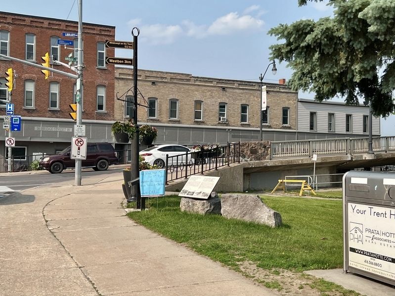
2. Trent-Severn Waterway National Historic Site of Canada Marker
Topics. This historical marker is listed in this topic list: Waterways & Vessels. A significant historical year for this entry is 1969.
Location. 44° 18.497′ N, 77° 48.012′ W. Marker is in Campbellford, Ontario, in Northumberland County. It is at the intersection of Grand Road and Bridge Street West, on the right when traveling north on Grand Road. Touch for map. Marker is at or near this postal address: 50 Grand Road, Campbellford ON K0L 1L0, Canada. Touch for directions.

Regionally, this marker is in the Kawarthas Northumberland Area and in Eastern Ontario. It is also in Central Canada. Globally, it is in North America, on the Great Lakes, in the Western Hemisphere, in the Western World, and in the Anglosphere. Historically, it finds itself in what was once a British colony, the Viceroyalty of New France, the Haudenosaunee (Iroquois) Confederacy, and Rupert’s Land.
Other nearby markers. At least 8 other markers are within 21 kilometers of this marker, measured as the crow flies: Old Mill Park (within shouting distance of this marker); Founders of Campbellford (about 150 meters away, measured in a direct line);
Photographed by Tim Boyd, June 7, 2025
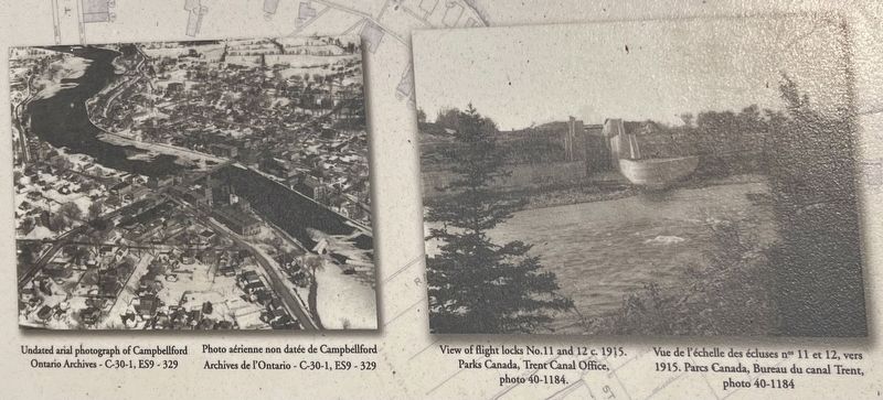
3. Trent-Severn Waterway National Historic Site of Canada marker photos and captions detail (left)

Photographed by Tim Boyd, June 7, 2025
4. Trent-Severn Waterway National Historic Site of Canada marker photos and captions detail (right)

June 13, 2025
5. Detail from a Map of the Trent Canal, 1918
Source: Wikimedia Commons (archives.ca, public domain)

Photographed by Tim Boyd, June 7, 2025
6. The Trent-Severn Waterway at Campbellford in 2025
Credits. This page was last revised on June 22, 2025. It was originally submitted on June 14, 2025, by Tim Boyd of Hamilton, Ontario. This page has been viewed 139 times since then and 43 times this year. Photos: 1, 2, 3, 4, 5, 6. submitted on June 14, 2025, by Tim Boyd of Hamilton, Ontario. • Andrew Ruppenstein was the editor who published this page.
