Murray in Carrying Place in Hastings County, Ontario — Central Canada (North America)
The Important Connection
⎯⎯⎯
Un lien important
| — | Sir John A. Macdonald Heritage Trail | — |
Photographed by Tim Boyd, June 8, 2025
1. The Important Connection/ Un lien important Marker

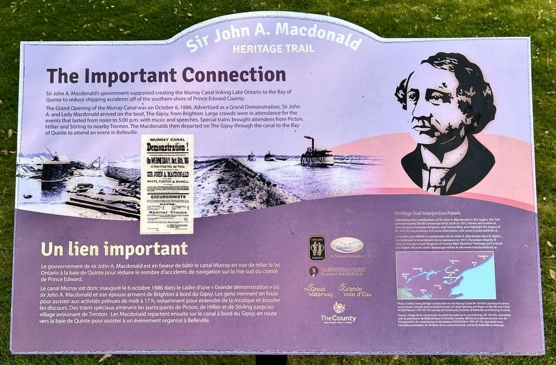
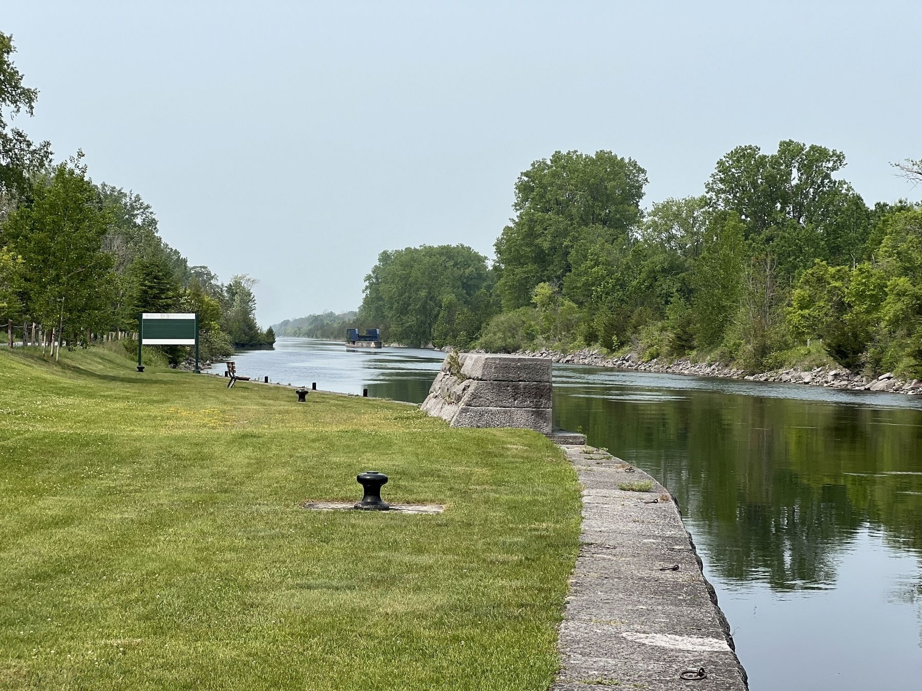
Sir John A. Macdonald's government supported creating the Murray Canal linking Lake Ontario to the Bay of Quinte to reduce shipping accidents off of the southern shore of Prince Edward County.
The Grand Opening of the Murray Canal was on October 6, 1886. Advertised as a Grand Demonstration, Sir John A. and Lady Macdonald arrived on the boat, The Gipsy, from Brighton. Large crowds were in attendance for the events that lasted from noon to 5:00 p.m. with music and speeches. Special trains brought attendees from Picton, Hillier and Stirling to nearby Trenton. The Macdonalds then departed on The Gipsy through the canal to of Quinte to attend an event in Belleville.
Le gouvernement de sir John A. Macdonald est en faveur de bâtir le canal Murray en vue de relier le lac Ontario à la baie de Quinte pour réduire le nombre d'accidents de navigation sur la rive sud du comté de Prince Edward.
Le canal Murray est donc inauguré le 6 octobre 1886 dans le cadre d'une «Grande démonstration» où sir John A. Macdonald et son épouse arrivent de Brighton à bord du Gipsy. Les gens
this page online
Erected by Prince Edward County.
Topics. This historical marker is listed in these topic lists: Government & Politics • Waterways & Vessels. A significant historical year for this entry is 1886.
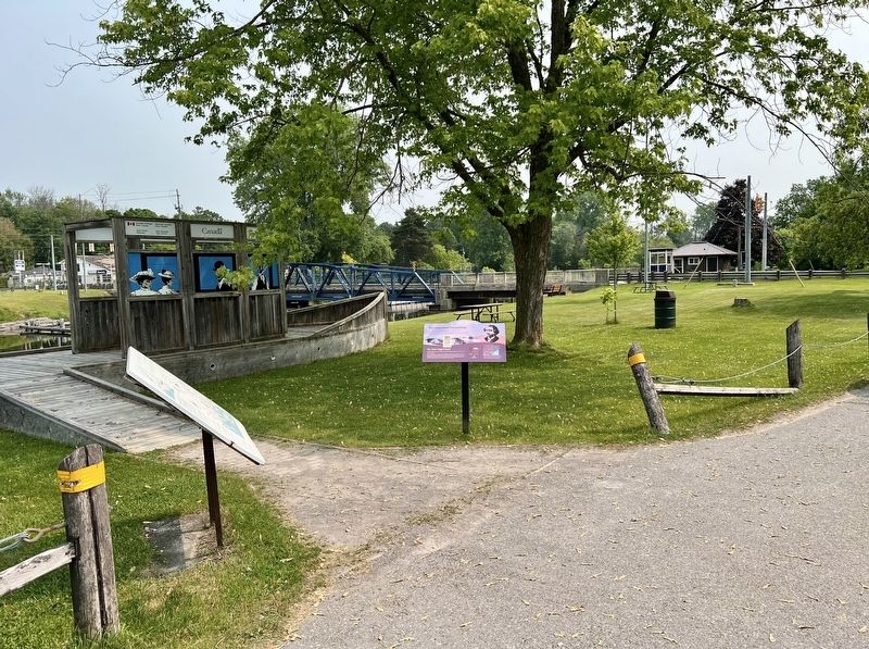
Location. 44° 3.341′ N, 77° 35.853′ W. Marker is in Carrying Place, Ontario, in Hastings County. It is in Murray. It is at the intersection of Shore Road and Loyalist Parkway, on the right when traveling west on Shore Road. Touch for map. Marker is at or near this postal address: 22014 Loyalist Parkway, Carrying Place ON K0K 1L0, Canada. Touch for directions.

Regionally, this marker is in Eastern Ontario and specifically in Southeastern Ontario. It is also in Central Canada. Globally, it is in North America, on the Great Lakes,
Photographed by Tim Boyd, June 8, 2025
2. The Important Connection/ Un lien important Marker
Other nearby markers. At least 8 other markers are within 6 kilometers of this marker, measured as the crow flies: Murray Canal / Le canal Murray (here, next to this marker); Bay of Quinte Carrying Place / Le Portage de la Baie de Quinte (approx. 1.5 kilometers away); Site of Trenton Cooperage Mills (approx. 5.1 kilometers away); Hugh O'Neil Friendship Garden (approx. 5.1 kilometers away); Champlain's War Party, 1615 (approx. 5.2 kilometers away); O. G. "Buster" Alyea Memorial Park (approx. 5.2 kilometers away); Liberation of Holland 45th Anniversary (approx. 5.3 kilometers away); War Memorial Cenotaph (approx. 5.3 kilometers away). Touch for a list and map of all markers in Carrying Place.
Photographed by Tim Boyd, June 8, 2025
3. The Murray Canal at Carrying Place, 2025
Credits. This page was last revised on June 15, 2025. It was originally submitted on June 14, 2025, by Tim Boyd of Hamilton, Ontario. This page has been viewed 109 times since then and 12 times this year. Photos: 1, 2, 3. submitted on June 14, 2025, by Tim Boyd of Hamilton, Ontario. • Andrew Ruppenstein was the editor who published this page.
