Middletown in Frederick County, Virginia — The American South (Mid-Atlantic)
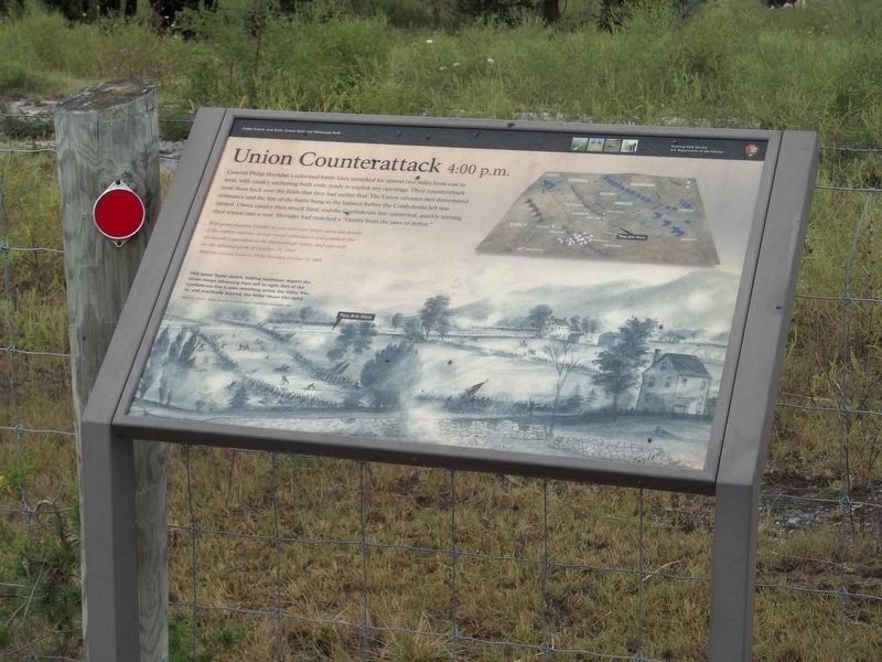
Union Counterattack 4:00 p.m.
| — | Cedar Creek and Belle Grove National Historical Park | — |
Photographed by Mike McKeown, September 8, 2022
1. Union Counterattack 4:00 p.m. Marker
With great pleasure I tender to you and your brave army the thanks of the nation, and my own personal admiration and gratitude for the month's operation in the Shenandoah Valley; and especially for the splendid work of October 19, 1864.
Abraham Lincoln, Letter to Philip Sheridan, October 22, 1864
(caption)
This James Taylor sketch, looking southeast, depicts the Union troops advancing from left to right. Part of the Confederate line is seen stretching across the Valley Pike to, and eventually beyond, the Miller House (far right).
Sketch by James E. Taylor, a artist for Frank Leslie's Illustrated Newspaper, 1864
Erected by National
this page online
Topics. This historical marker is listed in this topic list: War, US Civil. A significant historical date for this entry is October 19, 1864.
Location. 39° 2.234′ N, 78° 16.145′ W. Marker is in Middletown, Virginia, in Frederick County. It is at the intersection of Valley Pike (U.S. 11) and Skirmisher Lane, on the right when traveling south on Valley Pike. Located at Tour Stop 9 on the Auto Tour. Touch for map. Marker is at or near this postal address: 173 Skirmisher Ln, Middletown VA 22645, United States of America. Touch for directions.

Regionally, this marker is in the Shenandoah Valley. It is also in the American South, specifically in the Upper South, and in the Mid-Atlantic. Globally, it is in North America, the Western Hemisphere, the Western World, and the Anglosphere. Historically, it finds itself in what was once the territory of the Mississippian Culture, one of the original Thirteen Colonies, one of the Confederate States of America, and the Antebellum South.
Other nearby markers. At least 8 other markers are within walking distance of this marker: Battle of Cedar Creek (about
Photographed by Linda Walcroft, August 15, 2023
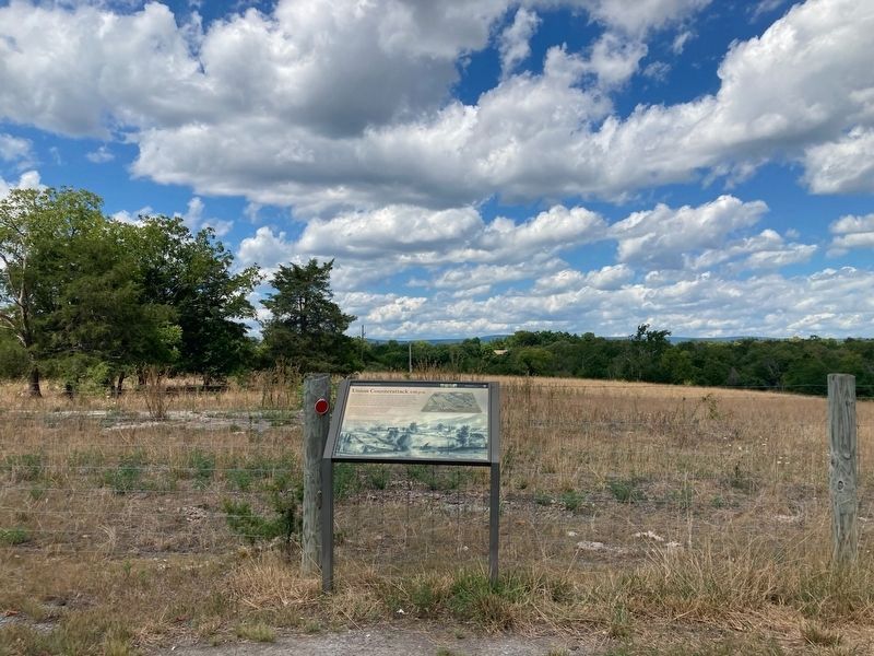
2. Wide Shot of the Marker
Also see . . . Union Counterattack. Cedar Creek & Belle Grove National Historical Park (Submitted on September 9, 2022.)
Credits. This page was last revised on June 15, 2025. It was originally submitted on September 8, 2022, by Mike McKeown of Baltimore, Maryland. This page has been viewed 409 times since then and 27 times this year. Last updated on June 14, 2025, by Mike McKeown of Baltimore, Maryland. Photos: 1. submitted on September 8, 2022, by Mike McKeown of Baltimore, Maryland. 2. submitted on August 16, 2023, by Linda Walcroft of Woodstock, Virginia. • Bernard Fisher was the editor who published this page.
