Carolina Beach in New Hanover County, North Carolina — The American South (South Atlantic)
Battlefield of Sugar Loaf
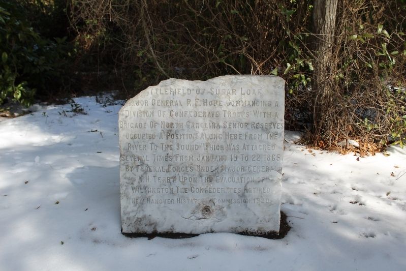
Photographed by Evan Dwyer, January 24, 2025
1. Battlefield of Sugar Loaf Marker
Erected 1920 by New Hanover HIstorical Commission.
Topics. This historical marker is listed in this topic list: War, US Civil. A significant historical month for this entry is January 1865.
Location. 34° 2.695′ N, 77° 53.788′ W. Marker is in Carolina Beach, North Carolina, in New Hanover County. It can be reached from North Lake Park Boulevard (U.S. 421) 0.2 miles north of Bennet Lane, on the right when traveling north. Located in Joseph Ryder Lewis Jr. Civil War Park north of the Publix Super Market Commons at Federal Point.. Touch for map. Marker is at or near this postal address: 1018 N Lake Park Blvd, Carolina Beach NC 28428, United States of America. Touch for directions.

Regionally, this marker is in the Coastal Plain and on the Cape Fear Coast. It is also in the American South,
this page online
Other nearby markers. At least 8 other markers are within walking distance of this marker: Joseph Ryder Lewis Jr. Civil War Park (a few steps from this marker); We are strongly entrenched here... (about 300 feet away, measured in a direct line); To close the port of Wilmington... (about 300 feet away); I hope we can hold Wilmington (about 400 feet away); Such parts of the Sugar Loaf line... (about 400 feet away); For a little while it was a lively and interesting fight (about 400 feet away); Sugar Loaf Line (about 700 feet away); Civil War Fortifications (approx. 0.3 miles away). Touch for a list and map of all markers in Carolina Beach.
More about this marker. The marker is the same style as other stone markers installed
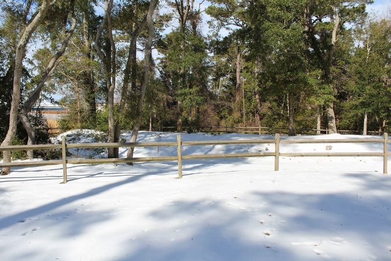
Photographed by Evan Dwyer, January 24, 2025
2. Sugar Loaf Line Earthworks
This is the exterior of the nearby Confederate line of fortifications.
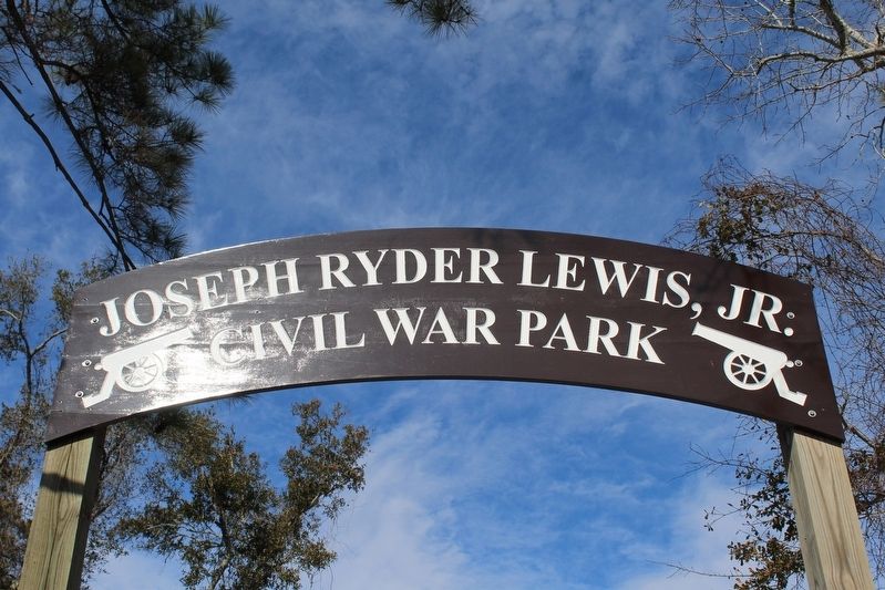
Photographed by Evan Dwyer, January 24, 2025
3. Joseph Ryder Lewis Jr. Civil War Park Entrance
The stone marker is within this park.
Credits. This page was last revised on June 16, 2025. It was originally submitted on June 15, 2025, by Evan Dwyer of Richmond, Virginia. This page has been viewed 219 times since then and 33 times this year. Photos: 1, 2, 3. submitted on June 15, 2025, by Evan Dwyer of Richmond, Virginia. • Bernard Fisher was the editor who published this page.
