Carolina Beach in New Hanover County, North Carolina — The American South (South Atlantic)
We are strongly entrenched here...
Photographed by Evan Dwyer, January 24, 2025
1. "We are strongly entrenched here in a line from the river to the sea." Marker
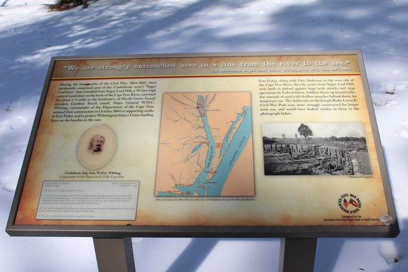
"We are strongly entrenched here in a line from the river to the sea." J.D. McGeachy, Sugar Loaf below Wilmington, N.C., Jan. 29th, 1865
During the last months of the Civil War, 1864-1865, these earthworks comprised part of the Confederate army's "Sugar Loaf lines" that extended from Sugar Loaf Hill, a 50-foot high natural sand dune on the banks of the Cape Fear River, eastward for about 1½ miles to the headwaters of Myrtle Grove Sound (modern Carolina Beach canal). Major General W.H.C. Whiting, commander of the Department of the Cape Fear, ordered their construction in October 1864 as supporting works to Fort Fisher and to protect Wilmington from a Union landing force on the beaches to the east.
Fort Fisher, along with Fort Anderson on the west side of the Cape Fear River directly across from Sugar Loaf Hill, were built to defend against large scale attacks and siege operations by Federal forces. Soldiers threw up breastworks, low mounds of sand with shallow trenches behind them, for temporary use. The fieldworks in the Joseph Ryder Lewis Jr. Civil War Park were more strongly constructed for longer term use, and
this page online
Erected 2021 by Brunswick Civil War Roundtable, Town of Carolina Beach.
Topics. This historical marker is listed in these topic lists: Forts and Castles • War, US Civil. A significant historical year for this entry is 1864.
Location. 34° 2.729′ N, 77° 53.822′ W. Marker is in Carolina Beach, North Carolina, in New Hanover County. It can be reached from North Lake Park Boulevard 0.2 miles north of Bennet Lane, on the right when traveling north. Located in Joseph Ryder Lewis Jr. Civil War Park north of the Publix Super Market Commons at Federal Point. Touch for map. Marker is at or near this postal address: 1018 N Lake Park Blvd, Carolina Beach NC 28428, United States of America. Touch for directions.

Regionally, this marker is in the Coastal Plain and on the Cape Fear Coast. It is also in the American South, specifically in the Upper South, in the Tidewater, and on the Eastern Seaboard. Globally, it is in the North Atlantic Region, North America, the Western Hemisphere, the Western World, and the Anglosphere. Historically, it finds itself in what was once
Photographed by Evan Dwyer, January 24, 2025
2. Exterior of the Earthworks
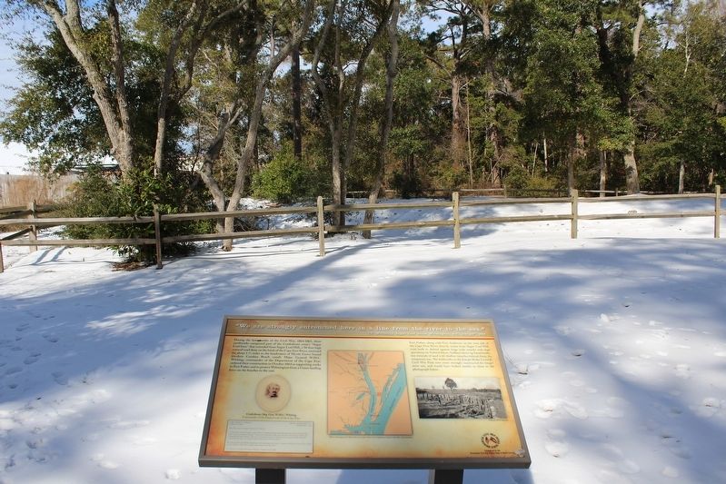
With marker in the foreground. The footpath leads off to the left and wraps back around to return from the right.
Other nearby markers. At least 8 other markers are within walking distance of this marker: To close the port of Wilmington... (a few steps from this marker); Such parts of the Sugar Loaf line... (within shouting distance of this marker); I hope we can hold Wilmington (within shouting distance of this marker); For a little while it was a lively and interesting fight (within shouting distance of this marker); Joseph Ryder Lewis Jr. Civil War Park (within shouting distance of this marker); Battlefield of Sugar Loaf (about 300 feet away, measured in a direct line); Sugar Loaf Line (about 600 feet away); Civil War Fortifications (approx. 0.3 miles away). Touch for a list and map of all markers in Carolina Beach.
More about this marker. The marker contains four insets - a portrait of Confederate Major General William Henry Chase Whiting (buried in Oakdale Cemetery in Wilmington) as Commander of the Department of the Cape Fear, a letter from Whiting to Confederate engineer Capt. Francis T. Hawks dated 29 October 1864 outlining the requirements for building the Sugar Loaf Line, a map of the defenses of the Cape Fear from the Atlas to Accompany the Official Records of the Union and Confederate Armies in the War of the Rebellion, and a Library of Congress photograph of an earthen battery embrasured for three field artillery pieces to illustrate how the Sugar Loaf line would have had a vertical interior support structure to hold the earthen parapet up.
Credits. This page was last revised on June 16, 2025. It was originally submitted on June 15, 2025, by Evan Dwyer of Richmond, Virginia. This page has been viewed 164 times since then and 23 times this year. Photos: 1, 2. submitted on June 15, 2025, by Evan Dwyer of Richmond, Virginia. • Bernard Fisher was the editor who published this page.
