Near Emerald Bay in El Dorado County, California — The American West (Pacific Coastal)
Tahoe By Car
Automotive Adventures
Photographed by Syd Whittle, August 14, 2010
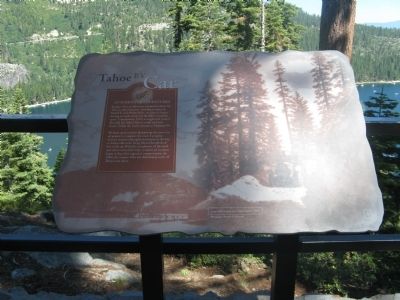
1. Tahoe By Car Marker
Imagine what an adventure it must have been for Tahoe’s early motorists. Traveling in open-air Model Ts and Oldsmobiles, vacationers began driving as roads connected the Lake’s recreation spots. Completed in 1913, a rough road around Emerald Bay linked Tahoe’s south and west shores. Today the highway is known as Highway 89.
Workers spent months dynamiting the route out of granite to complete the road. A popular steamer excursion brought vacationers to the bay to witness the rocks being blasted hundreds of feet in the air. With the completion of the road and others around the lake, commercial steamers began to lose their appeal as transportation. In 1940, the steamer Tahoe was deliberately sunk off Tahoe’s east shore.
Topics. This historical marker is listed in this topic list: Roads & Vehicles. A significant historical year for this entry is 1913.
Location. 38° 56.804′ N, 120° 5.902′ W. Marker is near Emerald Bay, California, in El Dorado County. It can be reached from Emerald Bay Road (State Highway 89), on the right when traveling north. Marker is located at the Inspiration Point Rest Area. Touch for map. Marker is
this page online

Regionally, this marker is in the Sierra Nevada and in the Lake Tahoe Basin. It is also in the American Mountain West. Globally, it is in North America, on the Ring of Fire, on the Pacific Rim, in the Western Hemisphere, in the Western World, and in the Anglosphere. Historically, it finds itself in what was once New Spain and also Mexico’s Alta California.
Other nearby markers. At least 8 other markers are within 3 miles of this marker, measured as the crow flies: Enjoy the View from Inspiration Point (here, next to this marker); Vikingsholm – A Scandinavian Castle (a few steps from this marker); Fannette Island (a few steps from this marker); The Hermit of Emerald Bay (within shouting distance of this marker); Da ow a ga – Lake Tahoe (within shouting distance of this marker); The Old Veteran (approx. 2.6 miles away); Lucky's Legacy (approx. 2.8 miles away); Welcome to the Historic Tallac Resort (approx. 2.8 miles away). Touch for a list and map of all markers in Emerald Bay.
Photographed by Syd Whittle, August 14, 2010
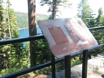
2. Tahoe By Car Marker
Photographed by Syd Whittle, August 14, 2010
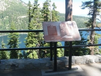
3. Tahoe By Car Marker
The Highway 89 cut in the mountain across Emerald Bay can be seen in the distance.
Credits. This page was last revised on June 27, 2025. It was originally submitted on August 31, 2010, by Syd Whittle of Mesa, Arizona. This page has been viewed 1,205 times since then and 38 times this year. Last updated on June 15, 2025, by Connor Olson of Menomonee Falls, Wisconsin. Photos: 1, 2, 3. submitted on August 31, 2010, by Syd Whittle of Mesa, Arizona. • Devry Becker Jones was the editor who published this page.
