Alderville in Northumberland County, Ontario — Central Canada (North America)
Alderville First Nation Cenotaph
Photographed by Tim Boyd, June 7, 2025
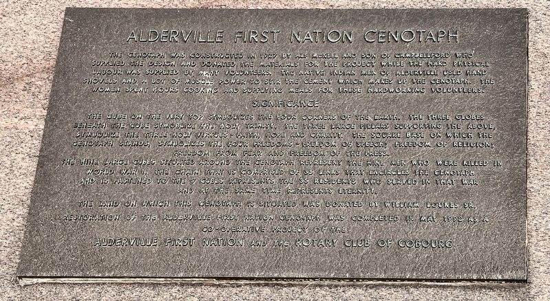
1. Alderville First Nation Cenotaph Marker
The cenotaph was constructed in 1927 by Alf McKeel and Son of Campbellford who supplied the design and donated the materials for the project while the hard physical labour was supplied by many volunteers. The Native Indian men of Alderville used hand shovels and a lot of muscle power to stir the cement which makes up the cenotaph. The women spent hours cooking and supplying meals for these hardworking volunteers.
Significance
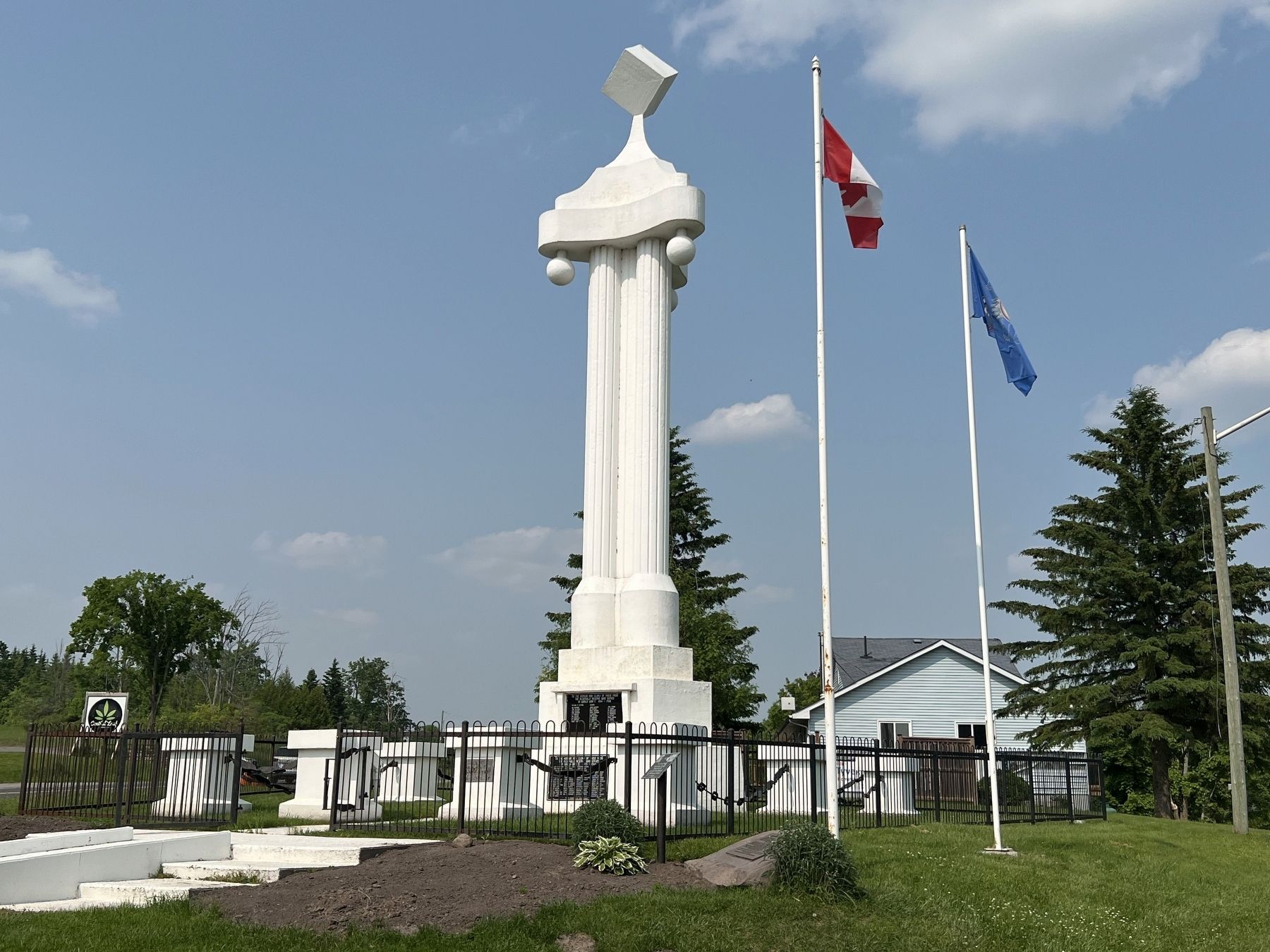
The cube on the very top symbolizes the four corners of the earth. The three globes beneath the cube symbolize the holy trinity. The three large pillars supporting the above, symbolize the three holy virtues - faith, hope and charity. The square base on which the Cenotaph stands, symbolizes the four freedoms - freedom of speech, freedom of religion, freedom from fear and freedom of the press.
The nine large cubes situated around the cenotaph represent wine men who were killed in World War I. The chain that is comprised of 35 links that encircles the cenotaph and is fastened to the cubes represents the 35 residents who served in that war, and at the same time represents eternity.
The land
this page online
Topics and series. This memorial is listed in these topic lists: Charity & Public Work • Indigenous Peoples and Communities • War, World I. In addition, it is included in the Rotary International series list. A significant historical year for this entry is 1927.
Location. 44° 10.893′ N, 78° 3.987′ W. Memorial is in Alderville, Ontario, in Northumberland County. It is at the intersection of 2nd Line Road and County Road 45, on the left when traveling east on 2nd Line Road. Touch for map. Memorial is at or near this postal address: 11653 2nd Line Road, Alderville ON K0K 2X0, Canada. Touch for directions.

Regionally, this memorial is in the Kawarthas Northumberland Area and in Eastern Ontario. It is also in Central Canada. Globally, it is in North America, on the Great Lakes, in the Western Hemisphere, in the Western World, and in the Anglosphere. Historically, it finds itself in
Photographed by Tim Boyd, June 7, 2025
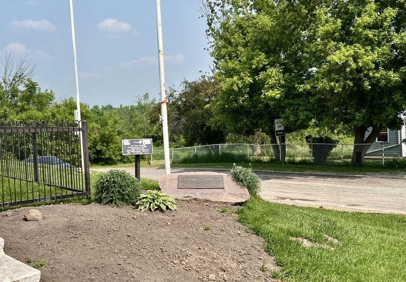
2. Alderville First Nation Cenotaph Marker
Other nearby markers. At least 8 other markers are within 14 kilometers of this marker, measured as the crow flies: A different marker also named Alderville First Nation Cenotaph (here, next to this marker); Alderville Indian Reserve 1837-1987 (approx. 0.2 kilometers away); Alderville Manual Labour School / L’École de Travaux Manuels D’Alderville (approx. 0.3 kilometers away); Harwood (approx. 10.2 kilometers away); Mount Ararat (approx. 11.3 kilometers away); Gravesite of German Workers (approx. 11.3 kilometers away); Warkworth Cheese Country (approx. 14.2 kilometers away); J.D. Kelly 1862-1958 (approx. 14.3 kilometers away). Touch for a list and map of all markers in Alderville.
Photographed by Tim Boyd, June 7, 2025
3. Alderville First Nation Cenotaph in 2025
Credits. This page was last revised on June 16, 2025. It was originally submitted on June 16, 2025, by Tim Boyd of Hamilton, Ontario. This page has been viewed 103 times since then and 14 times this year. Photos: 1, 2, 3. submitted on June 16, 2025, by Tim Boyd of Hamilton, Ontario. • Andrew Ruppenstein was the editor who published this page.
