Cheshire in New Haven County, Connecticut — The American Northeast (New England)
Lock 12
Farmington Canal
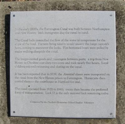
In the early 1800's, the Farmington Canal was built between Northampton and New haven; Irish immigrants dug the canal by hand.
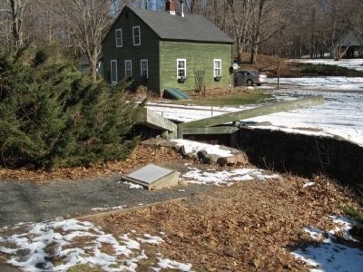
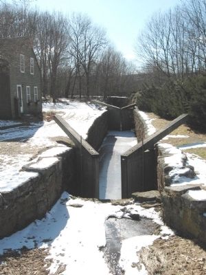
The Canal (sic) locks controlled the flow of the water to compensate for the slope of the land. Farmers living nearby would answer the barge captain's horn, coming to maneuver the locks. Flat-bottomed boats were pulled by mules walking alongside the canal.
The barges carried goods and passengers between ports; a trip from New Haven to Cheshire cost sixty-two cents and took nearly five hours. Local children enjoyed swimming and skating on the canal.
It has been reported that in 1839, the Amistad slaves were transported on the canal from the New Haven prison to Farmington. Horsecarts then carried them to the courthouse in Hartford for trial.
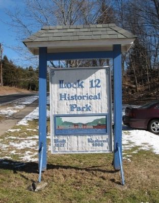
The canal operated from 1828 to 1848; trains then became the preferred form of transportation. Lock 12 is the only restored lock remaining today.
Composed by the Doolittle Elementary School Student Volunteers
Topics. This historical marker is listed in this topic list: Waterways & Vessels. A significant historical year for this entry is 1839.
Location. 41° 28.504′ N, 72° 55.429′ W. Marker is in Cheshire, Connecticut, in New Haven County. Marker can be reached from the intersection of North Brooksvale Road and Danard Place, on the left when traveling west. Located in Lock 12 Historical Park. Touch for map. Marker is in this post office area: Cheshire CT 06410, United States of America. Touch for directions.
Other nearby markers. At least 8 other markers are within 2 miles of this marker, measured as the crow flies. The Medal of Honor Plaza and “Living Classroom” (approx. 1.4 miles away); "Stepping Stone" (approx. 1.9 miles away); Cheshire World War I Monument (approx. 1.9 miles away); Cheshire Revolutionary War Monument (approx. 1.9 miles away); Town of Cheshire Memorial Plaza (approx. 1.9 miles away); Cheshire Civil War Monument (approx. 1.9 miles away); First Church Of Cheshire (approx. 2 miles away); Cheshire (approx. 2 miles away). Touch for a list and map of all markers in Cheshire.
Also see . . .
1. Farmington Canal. Wikipedia entry (Submitted on February 15, 2010, by Michael Herrick of Southbury, Connecticut.)
2. Farmington Canal Rail-to-Trail Association. Association website homepage (Submitted on February 15, 2010, by Michael Herrick of Southbury, Connecticut.)
Credits. This page was last revised on July 11, 2022. It was originally submitted on February 15, 2010, by Michael Herrick of Southbury, Connecticut. This page has been viewed 1,519 times since then and 26 times this year. Photos: 1, 2, 3, 4. submitted on February 15, 2010, by Michael Herrick of Southbury, Connecticut.


