Fordham Manor in the Bronx in Bronx County, New York — The American Northeast (Mid-Atlantic)
Rose Hill Park
.83 acre
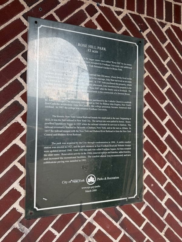
This small park is a vestige of a far larger estate once called "Rose Hill" by its owner, Roger Watt. His lands covered a tract now occupied by Fordham University and additional territory extending to the present day New York Botanical Garden in Bronx Park.
In 1775 John Watt, Robert's brother, married Jane DeLancey, whose family lived on the adjacent property that is now Bronx Park. Prior to his marriage, John Watt had lived on an estate in what is now Madison Square. In 1787 John purchased this property, which was known as the Andrew Corsa estate. Shortly afterwards, John transferred the property to his brother Robert. The later named this area "Rose Hill" after the family seat in Scotland. The Watts then transferred this name to their manorlands in the countryside of a forested Bronx.
In 1839 the estate and manor house were purchased by the Catholic Church to establish St. John's College. The university was opened in 1841 by Bishop John Hughes, New York's first Catholic archbishop. John McCloskey, the college president, became America's first cardinal. In 1907 the college was renamed Fordham University.
The
this page online
The park was acquired by the City through condemnation in 1896. A public comfort station was erected in 1923, and the park entrances at East Fordham Road and Webster Avenue were updated around 1940. Until 1945 the park was called Fordham Square, but then resumed the older name. Renovation activity in the 1960s removed stumps and benches, added benches, and increased the recreational facilities. The comfort station was reconstructed, and new cobblestone paving was installed in 1991.
Erected 2000 by City of New York Park & Recreation (NYC Parks).
Topics and series. This historical marker is listed in these topic lists: Education • Parks & Recreational Areas

Location. 40° 51.704′ N, 73° 53.45′ W. Marker is in Bronx, New York, in Bronx County. It is in Fordham Manor. It is at the intersection of East Fordham Road and Webster Avenue, on the left when traveling east on East Fordham Road. Touch for map. Marker is at or near this postal address: 13 E Fordham Rd, Bronx NY 10458, United States of America. Touch for directions.

Regionally, this marker is in New York City. It is also in the American Northeast, in the Mid-Atlantic, and on the Eastern Seaboard. Globally, it is in the North Atlantic Region, North America, the Western Hemisphere, the Western World, and the Anglosphere. Historically, it finds itself in what was once New Netherland and also one of the original Thirteen Colonies.
Other nearby markers. At least 8 other markers are within walking distance of this marker: World War I Memorial (within shouting distance of this marker); Bryan Park (approx. 0.2 miles away); Bronx Land Trust (approx. 0.2 miles away); a different marker also named Bryan Park (approx. 0.2 miles away); Poe Park (approx. 0.3 miles away); Edgar Allan Poe Cottage (approx. 0.3 miles away); a different marker also named Edgar Allan Poe Cottage (approx. 0.3 miles away); Hardy Pool (approx. half a mile away). Touch for a list and map of all markers in Bronx.
Credits. This page was last revised on June 18, 2025. It was originally submitted on June 18, 2025, by Devry Becker Jones of Washington, District of Columbia. This page has been viewed 175 times since then and 50 times this year. Photos: 1, 2. submitted on June 18, 2025, by Devry Becker Jones of Washington, District of Columbia.
