Bradenton in Manatee County, Florida — The American South (South Atlantic)
Pines
Photographed by McGhiever, February 13, 2024
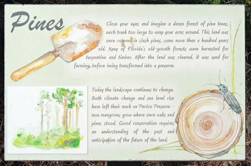
1. Pines Marker
Close your eyes and imagine a dense forest of pine trees, each trunk too large to wrap your arms around. This land was once covered in slash pines, some more than a hundred years old. Many of Florida's old-growth forests were harvested for turpentine and timber. After the land was cleared, it was used for farming, before being transformed into a preserve.
Today the landscape continues to change. Both climate change and sea level rise have left their mark on Perico Preserve - now mangroves grow where once oaks and pines stood. Good conservation requires an understanding of the past and anticipation of the future of the land.
Topics. This historical marker is listed in this topic list: Environment.
Location. 27° 29.98′ N, 82° 40.703′ W. Marker is in Bradenton, Florida, in Manatee County. It can be reached from Manatee Avenue west of Perico Bay Boulevard. The marker is in the Perico Preserve. Touch for map. Marker is at or near this postal address: 11700 Manatee Avenue, Bradenton FL 34209, United States of America. Touch for directions.

Regionally, this marker is on
this page online
Other nearby markers. At least 8 other markers are within 3 miles of this marker, measured as the crow flies: Endemic Species (approx. 0.2 miles away); Welcome Home (approx. 1½ miles away); Palma Sola Community Church (approx. 1.9 miles away); Pillsbury Boatshop (approx. 2.2 miles away); Pillsbury Boatshop/Pillsbury Tienda de Barcos (approx. 2.2 miles away); Propeller from the 1892 Steamboat 'Mistletoe' (approx. 2.2 miles away); Robert Sailors Artistic Haven/Refugio artístico de Robert Sailors (approx. 2.2 miles away); A Century of Community/Un siglo de comunidad (approx. 2.2 miles away). Touch for a list and map of all markers in Bradenton.
Photographed by McGhiever, February 13, 2024
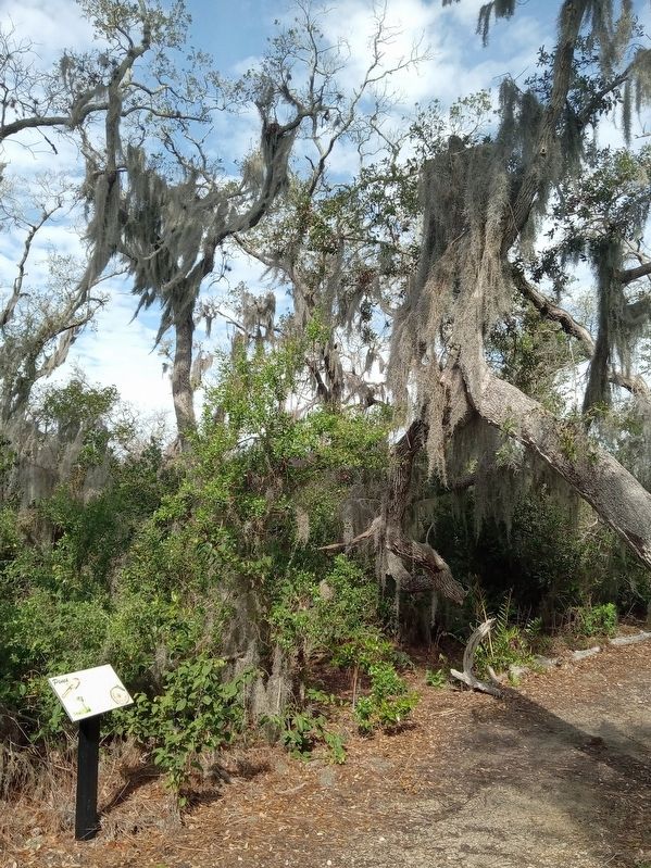
2. Pines Marker in Perico Preserve
Credits. This page was last revised on June 18, 2025. It was originally submitted on June 18, 2025, by McGhiever of Minneapolis, Minnesota. This page has been viewed 102 times since then and 14 times this year. Photos: 1, 2. submitted on June 18, 2025, by McGhiever of Minneapolis, Minnesota.
