
Mott Haven in the Bronx in Bronx County, New York — The American Northeast (Mid-Atlantic)
GreenThumb
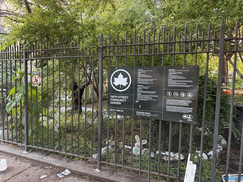
Photographed by Devry Becker Jones (CC0), June 7, 2025
1. GreenThumb Marker Location
The marker formerly hanged on the fence to the left of the 138th Street Community Garden sign from NYC Parks.
Erected by City of New York Parks & Recreation (NYC Parks).
Topics and series. This historical marker is listed in these topic lists: Horticulture & Forestry • Parks & Recreational Areas. In addition, it is included in the NYC Parks series list. A significant historical year for this entry is 1978.
Location. Marker has been permanently removed. It was located near 40° 48.344′ N, 73° 54.908′ W. Marker was in Bronx, New York, in Bronx County. It was in Mott Haven. It was on East 138th Street west of Cypress Avenue, on the right when traveling east. Touch for map. Marker was at or near this postal address: 624 East 138th Street, Bronx NY 10454, United States of America.
We have been informed that this marker is no longer there and will not be replaced. This page is an archival view of what was.
Regionally, this marker was in New York City. It was also in the

this page online
Other nearby markers. At least 8 other markers are within walking distance of this location: Padre Plaza (approx. 0.2 miles away); St. Ann's Shrine (approx. 0.2 miles away); Gouverneur Morris (approx. 0.2 miles away); Saw Mill Playground (approx. 0.3 miles away); Brook Restoration (approx. 0.3 miles away); Gil Scott-Heron Amphitheater (approx. 0.4 miles away); I-Am-Park (approx. half a mile away); PFC Carlos J. Lozada Playground (approx. half a mile away). Touch for a list and map of all markers in Bronx.

Credits. This page was last revised on June 18, 2025. It was originally submitted on June 18, 2025, by Devry Becker Jones of Washington, District of Columbia. This page has been viewed 120 times since then and 44 times this year. Photos: 1, 2. submitted on June 18, 2025, by Devry Becker Jones of Washington, District of Columbia.
