Mott Haven in the Bronx in Bronx County, New York — The American Northeast (Mid-Atlantic)
I-Am-Park
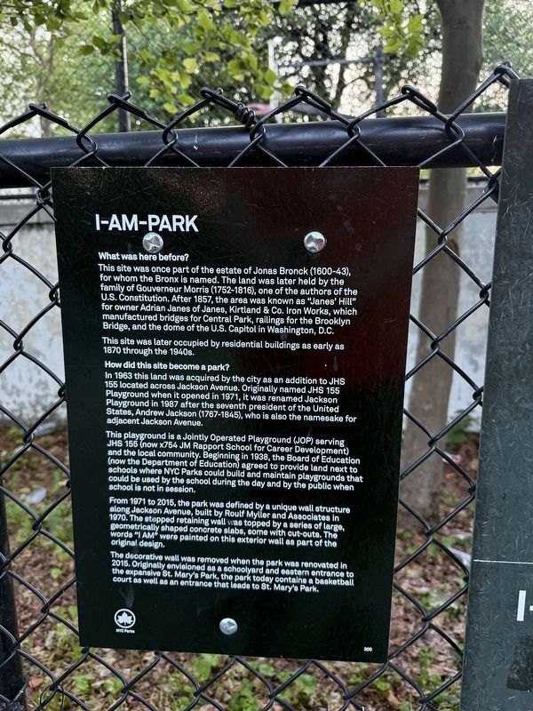
What was here before?
This site was once part of the estate of Jonas Bronck (1600-43) for whom the Bronx is named. The land was later held by the family of Gouverneur Morris (1752-1816), one of the authors of the U.S. Constitution. After 1857, the area was known as "Janes' Hill" for owner Adrian Janes of Janes, Kirkland & Co. Iron Works, which manufactured bridges for Central Park, railings for the Brooklyn Bridge, and the dome of the U.S. Capitol in Washington, D.C.
This site was later occupied by residential buildings as early as 1870 through the 1940s.
how did this site become a park?
In 1963 this land was acquired by the city as an addition to JHS 155 located across Jackson Avenue. Originally named JHS 155 Playground when it opened in 1971, it was renamed Jackson Playground in 1987 after the seventh president of the United States, Andrew Jackson (1767-1845), who is also the namesake for adjacent Jackson Avenue.
This playground is a Jointly Operated Playground (JOP) serving JHS 155 (now x754 JM Rapport School for Career Development) and the local community. Beginning in 1938, the Board of Education (now
this page online
From 1971 to 2015, the park was defined by a unique wall along Jackson Avenue, built by Roulf Myller and Associates in 1970. The stepped retaining wall was topped by a series of large, geometrically shaped concrete slabs, some with cut-outs. The words "I AM" were painted on this exterior wall as part of the original design.
The decorative wall was removed when the park was renovated in 2015. Originally envisioned as a schoolyard and eastern entrance to the expansive St. Mary's Park, the park today contains a basketball court as well as an entrance that leads to St. Mary's Park.
Erected by NYC Parks. (Marker Number 300.)
Topics and series. This historical marker is listed in these topic lists: Education • Industry & Commerce • Parks & Recreational Areas • Settlements & Settlers. In addition, it is included in the NYC Parks series list. A significant historical year for this entry is 1857.
Location. 40° 48.669′ N, 73° 54.594′ W.
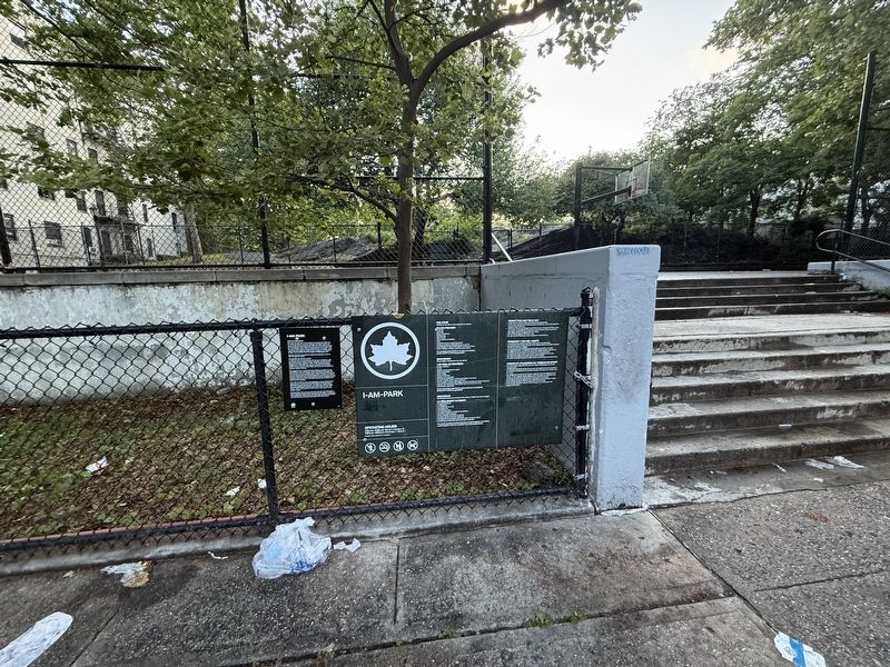

Regionally, this marker is in New York City. It is also in the American Northeast, in the Mid-Atlantic, and on the Eastern Seaboard. Globally, it is in the North Atlantic Region, North America, the Western Hemisphere, the Western World, and the Anglosphere. Historically, it finds itself in what was once New Netherland and also one of the original Thirteen Colonies.
Other nearby markers. At least 8 other markers are within walking distance of this marker: Gil Scott-Heron Amphitheater (approx. 0.2 miles away); St. Mary's Park (approx. ¼ mile away); Gouverneur Morris (approx. 0.4 miles away); St. Ann's Shrine (approx. 0.4 miles away); Padre Plaza (approx. 0.4 miles away); Brook Restoration (approx. half a mile away); Saw Mill Playground (approx. half a mile away); Abigail Playground (approx. half a mile away). Touch for a list and map of all markers in Bronx.
Another marker is no longer nearby. GreenThumb (was approx. half a mile away but has been permanently removed).
Credits. This page was last revised on June 18, 2025. It was originally submitted on June 18, 2025, by Devry Becker Jones of Washington, District of Columbia. This page has been viewed 119 times since then and 21 times this year. Photos: 1, 2. submitted on June 18, 2025, by Devry Becker Jones of Washington, District of Columbia.
