Fort Totten in Queens in Queens County, New York — The American Northeast (Mid-Atlantic)
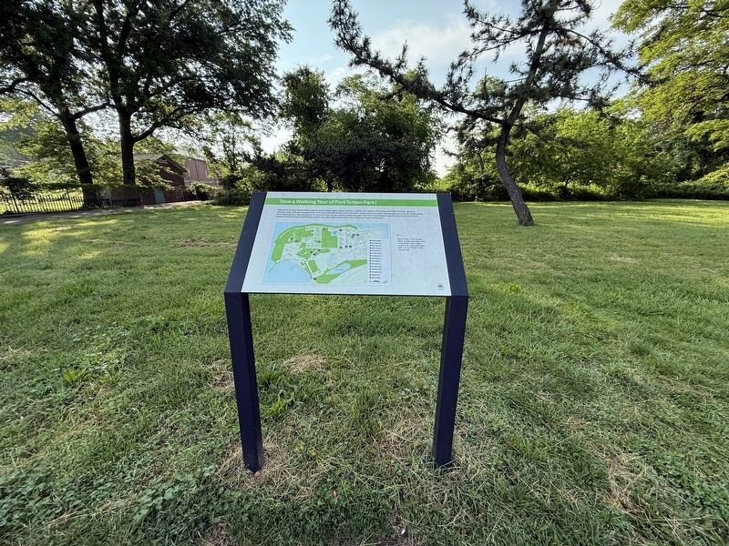
Take a Walking Tour of Fort Totten Park!
Photographed by Devry Becker Jones (CC0), June 8, 2025
1. Take a Walking Tour of Fort Totten Park! Marker
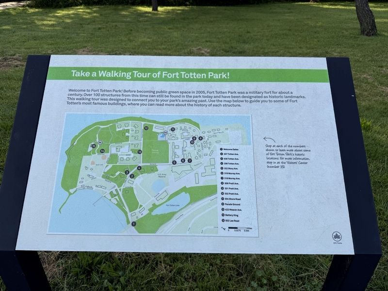
Welcome to Fort Totten Park! Before becoming a public green space in 2005, Fort Totten Park was a military fort for about a century. Over 100 structures from this time can still be found in the park today and have been designated as historic landmarks. This walking tour was designed to connect you to your park's amazing past. Use the map below to guide you to some of Fort Totten's most famous buildings, where you can read more about the history of each structure.
[Caption:]
Stop at each of the numbers shown to learn more about some of Fort Totten Park's historic locations. For more information, stop at the Visitors' Center (number 15).
❶ Welcome Gates
❷ 207 Totten Ave.
❸ 638 Totten Ave.
❹ 208 Totten Ave.
❺ 322 Story Ave.
❻ 319 Murray Ave.
❼ 318 Murray Ave.
❽ 309 Pratt Ave.
❾ 331 Pratt Ave.
❿ 332 Pratt Ave.
⓫ 304 Shore Road
⓬ Parade Ground
⓭ 422 Weaver Ave.
⓮ Battery King
⓯ 502 Lee Road
Erected by NYC Parks.
Topics and series. This historical marker is listed in these topic lists: Forts and Castles
this page online
Location. 40° 47.454′ N, 73° 46.887′ W. Marker is in Queens, New York, in Queens County. It is in Fort Totten. It is on Totten Avenue south of Duane Road, on the right when traveling north. Touch for map. Marker is at or near this postal address: 100 Totten Ave, Bayside NY 11359, United States of America. Touch for directions.

Regionally, this marker is in New York City and on Long Island. It is also in the American Northeast, in the Mid-Atlantic, and on the Eastern Seaboard. Globally, it is in the North Atlantic Region, North America, the Western Hemisphere, the Western World, and the Anglosphere. Historically, it finds itself in what was once New Netherland and also one of the original Thirteen Colonies.
Other nearby markers. At least 8 other markers are within walking distance of this marker: Fort Totten (here, next to this marker); Main Entrance Gates (a few steps from this marker); Thorne-Wilkins Cemetery (approx. 0.2 miles away); 207 Totten Ave. (approx. 0.2 miles away); 638 Totten Ave.
Photographed by Devry Becker Jones (CC0), June 8, 2025
2. Take a Walking Tour of Fort Totten Park! Marker
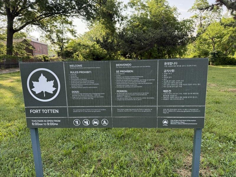
Another marker is no longer nearby. Fort Totten Park (was a few steps from this marker but has been replaced with another marker now near it).
Credits. This page was last revised on July 15, 2025. It was originally submitted on June 19, 2025, by Devry Becker Jones of Washington, District of Columbia. This page has been viewed 401 times since then and 113 times this year. Photos: 1, 2, 3. submitted on June 19, 2025, by Devry Becker Jones of Washington, District of Columbia.
