
Jackson in Madison County, Tennessee — The American South (East South Central)
Jackson
Railroad Gateway to Deep South
| — | Forrest's First West Tennessee Raid | — |
Photographed by Ken Smith, December 20, 2012
1. Jackson Marker
(preface) Gen. Nathan Bedford Forrest led his cavalry brigade on a raid through West Tennessee, Dec. 15, 1862 - Jan. 3, 1863, destroying railroads and severing Gen. Ulysses S. Grant's supply line between Columbus, Kentucky, and Vicksburg, Mississippi. Forrest crossed the Tennessee River at Clifton, defeated Union Col. Robert G. Ingersoll's cavalry at Lexington, captured Trenton and Union City, and ranged briefly into Kentucky. He raided back through Tennessee, evaded defeat at Parker's Cross Roads, and crossed the river again at Clifton. Grant changed his supply base to Memphis.
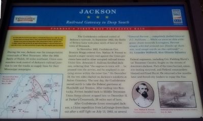
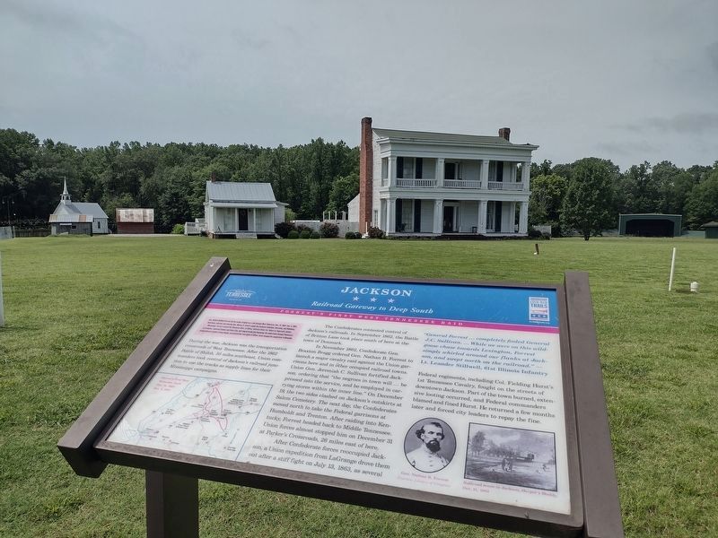
During the war, Jackson was the transportation crossroads of West Tennessee. After the 1862 Battle of Shiloh, 50 miles southeast, Union commanders took control of Jackson's railroad junction to use the tracks as supply lines for their Mississippi campaigns.
The Confederates contested control of Jackson's railroads. In September 1862, the Battle of Britton Lane took place south of here at the town of Denmark.
In November 1862, Confederate Gen. Braxton Bragg ordered Gen. Nathan B. Forrest to launch a major cavalry raid against the Union
this page online
After Confederate forces reoccupied Jackson, a Union expedition from LaGrange drove them out after a stiff fight on July 13, 1863, as several Federal regiments, including Col. Fielding Hurst's 1st Tennessee Cavalry, fought on the streets of downtown Jackson. Part of the town burned, extensive looting occurred, and Federal commanders blamed and fined Hurst. He returned a few months later and forced city leaders to repay the fine.
"General Forrest ... completely fooled General J.C. Sullivan. ... While we were on this wild-goose chase towards Lexington, Forrest simply whirled around our flanks at Jackson, and swept north on the railroad."
Photographed by Ken Smith, May 31, 2011
2. Jackson Marker (original location)
(captions)
Forrest's First West Tennessee Raid, Dec. 15, 1862-Jan. 3, 1863
Gen. Nathan B. Forrest Courtesy Library of Congress
Harper's Weekly, Oct.21, 1862
Erected by Tennessee Civil War Trails.
Topics and series. This historical marker is listed in this topic list: War, US Civil. In addition, it is included in the Tennessee Civil War Trails series list. A significant historical date for this entry is July 13, 1863.
Location. 35° 39.624′ N, 88° 51.426′ W. Marker is in Jackson, Tennessee, in Madison County. It is on Casey Jones Lane 0.2 miles west of Bypass U.S. 45, on the left when traveling west. Touch for map. Marker is at or near this postal address: 60 Casey Jones Ln, Jackson TN 38305, United States of America. Touch for directions.

Regionally, this marker is in West Tennessee. It is also in the American South, specifically in the Deep South, and specifically in the Upper South. Globally, it is in North America, the Western Hemisphere, the Western World, and the Anglosphere. Historically, it finds itself in what was once the territory of the Mississippian Culture, one of
Photographed by David Austin, June 19, 2025
3. Jackson Marker
Other nearby markers. At least 8 other markers are within 2 miles of this marker, measured as the crow flies: Carl Lee Perkins (about 500 feet away, measured in a direct line); Home of Casey Jones (about 500 feet away); Reelfoot and Laughing Eyes (about 600 feet away); This Log Cabin was from Henderson County (about 600 feet away); Union University (approx. 0.8 miles away); In Memory Of Merry Boy (approx. 1.6 miles away); Willow Banks / Chevy Chase (approx. 2 miles away); The Jackson Memorial Carillon and Carillon Tower at First Presbyterian Church (approx. 2 miles away). Touch for a list and map of all markers in Jackson.
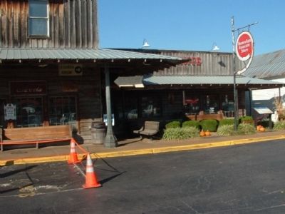
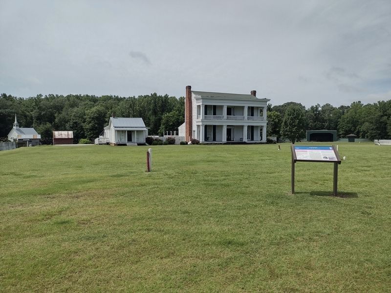
More about this marker. Marker was relocated 280 ft west of its original position in front of the Old Country Store & Restaurant at 56 Casey Jones Ln A (GPS 35.66022, -88.85617)
Photographed by David Austin, June 19, 2025
4. Jackson Marker
Credits. This page was last revised on June 19, 2025. It was originally submitted on December 28, 2013, by Ken Smith of Milan, Tennessee. This page has been viewed 1,041 times since then and 69 times this year. Last updated on June 19, 2025, by David Austin of Scotts Hill, Tennessee. Photos: 1, 2. submitted on December 28, 2013, by Ken Smith of Milan, Tennessee. 3, 4. submitted on June 19, 2025, by David Austin of Scotts Hill, Tennessee. • Bernard Fisher was the editor who published this page.
