Fort Totten in Queens in Queens County, New York — The American Northeast (Mid-Atlantic)
304 Shore Road
Constructed in 1906
Original use: Post hospital
Current use: Not in use
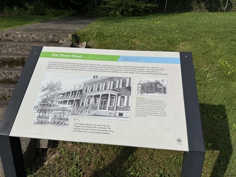
Constructed for $37,830, this hospital is Fort Totten's third, replacing two previous frame structures built in the 1800s. It is an imposing example of Colonial Revival-style building, composed entirely of brick. The hospital's location—facing Little Neck Bay, near the residential section of the fort—allowed for easy visits and exposure to fresh air, all without having to leave a patient's room. Although originally built to accommodate 48 beds, the addition of a north wing in 1912 expanded its capacity to 68.
[Captions:]
The Annex
Completed in 1914, the hospital annex was specifically designed as an isolation facility for the main hospital and contained 36 beds. Its construction was a sign of the advancements in medicine taking place at Fort Totten. New types of equipment, including dental instruments, X-ray units, veterinary and optical materials, and field medial equipment were researched and developed here.
This hospital staff photo was taken more than 40 years after Building 304's construction. The building continued to be used as a hospital as long as Fort Totten was an active military installation.
Erected by NYC
this page online
Topics and series. This historical marker is listed in these topic lists: Architecture • Forts and Castles • Science & Medicine. In addition, it is included in the NYC Parks series list. A significant historical year for this entry is 1912.
Location. 40° 47.52′ N, 73° 46.408′ W. Marker is in Queens, New York, in Queens County. It is in Fort Totten. It is on Shore Road south of Story Road, on the right when traveling south. Touch for map. Marker is at or near this postal address: 304 Shore Road, Bayside NY 11359, United States of America. Touch for directions.

Regionally, this marker is in New York City and on Long Island. It is also in the American Northeast, in the Mid-Atlantic, and on the Eastern Seaboard. Globally, it is in the North Atlantic Region, North America, the Western Hemisphere, the Western World, and the Anglosphere. Historically, it finds itself in what was once New Netherland and also one of the original Thirteen Colonies.
Other nearby markers. At least 8 other markers are within walking distance of this marker: World Trade Center "Survivor Tree" Sprout (about 300 feet away, measured in

Photographed by Devry Becker Jones (CC0), June 8, 2025
2. 304 Shore Road Marker
Building 304 is obscured by the trees.
Credits. This page was last revised on June 19, 2025. It was originally submitted on June 19, 2025, by Devry Becker Jones of Washington, District of Columbia. This page has been viewed 123 times since then and 30 times this year. Photos: 1, 2. submitted on June 19, 2025, by Devry Becker Jones of Washington, District of Columbia.
