Westbrook in Cumberland County, Maine — The American Northeast (New England)
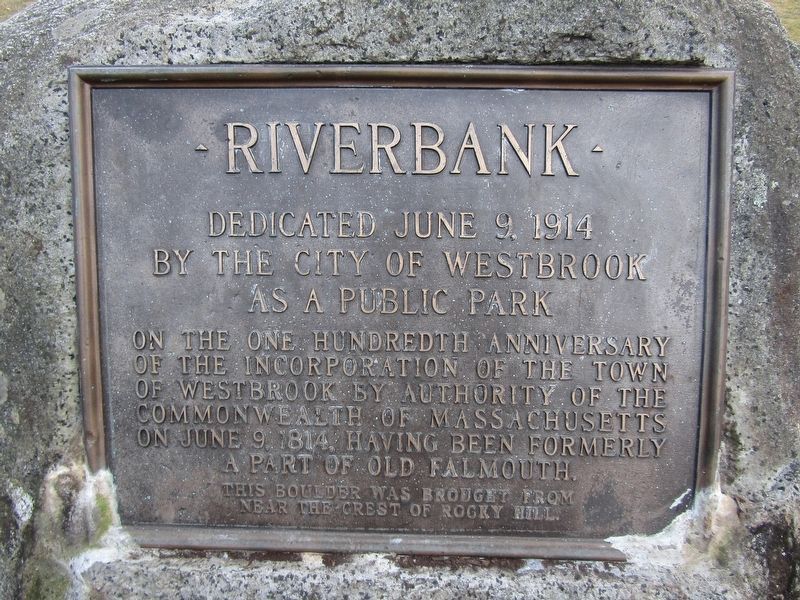
Riverbank
Photographed by Conrad Ward, December 21, 2024
1. Riverbank Marker
by the City of Westbrook
as a public park
of the incorporation of the Town
of Westbrook by authority of the
Commonwealth of Massachusetts
on June 9, 1814, having been formerly
a part of Old Falmouth.
Erected 1914.
Topics. This historical marker is listed in these topic lists: Parks & Recreational Areas • Settlements & Settlers. A significant historical date for this entry is June 9, 1914.
Location. 43° 40.748′ N, 70° 21.533′ W. Marker is in Westbrook, Maine, in Cumberland County. It can be reached from Main Street (Maine Route 25B) near Dunn Street, on the right when traveling west. Located in Riverbank Park. Touch for map. Marker is in this post office area: Westbrook ME 04092, United States of America. Touch for directions.

Regionally, this marker is in Greater Portland. It is also in the American Northeast, in New England, and on the Eastern Seaboard. Globally, it is in the North Atlantic Region, North America, the Western Hemisphere, the Western World, and the Anglosphere.
Other nearby markers. At
this page online
Photographed by Conrad Ward, December 21, 2024
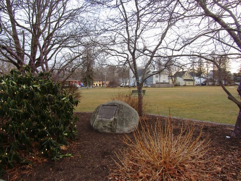
2. Riverbank Marker
Credits. This page was last revised on June 22, 2025. It was originally submitted on June 20, 2025, by Conrad Ward of Guilford, Connecticut. This page has been viewed 99 times since then and 43 times this year. Photos: 1, 2. submitted on June 20, 2025, by Conrad Ward of Guilford, Connecticut. • Michael Herrick was the editor who published this page.
