Near Manteo in Dare County, North Carolina — The American South (South Atlantic)
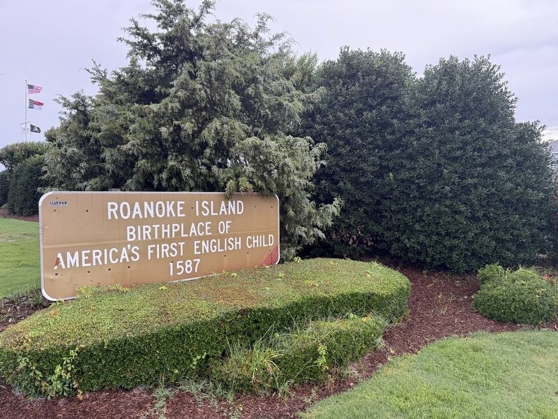
Roanoke Island
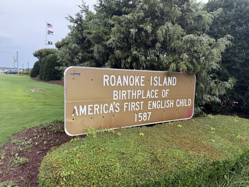
America's first English child
1587
Topics. This historical marker is listed in these topic lists: Colonial Era • Settlements & Settlers. A significant historical year for this entry is 1587.
Location. 35° 53.58′ N, 75° 38.614′ W. Marker is near Manteo, North Carolina, in Dare County. It is on U.S. 64 east of Pirates Way, on the right when traveling west. Touch for map. Marker is at or near this postal address: 2000 Sailfish Dr, Manteo NC 27954, United States of America. Touch for directions.

Regionally, this marker is in North Carolina’s Coastal Plain and on the Outer Banks. It is also in the American South, specifically in the Upper South, in the Tidewater, and on the Eastern Seaboard. Globally, it is in the North Atlantic Region, North America, the Western Hemisphere, the Western World, and the Anglosphere. Historically, it finds itself in what was once the territory of the Mississippian Culture, one of the original Thirteen Colonies, one of the Confederate States of America, and the Antebellum South.
Other nearby markers. At least 8 other markers are within 2 miles of this
this page online
Credits. This page was last revised on June 22, 2025. It was originally submitted on June 22, 2025, by Devry Becker Jones of Washington, District of Columbia. This page has been viewed 212 times since then and 29 times this year. Photos: 1, 2. submitted on June 22, 2025, by Devry Becker Jones of Washington, District of Columbia.
