Manteo in Dare County, North Carolina — The American South (South Atlantic)
Elizabethan Gardens
A Living Memorial
| — | Fort Raleigh National Historic Site, National Park Service, U.S. Department of the Interior | — |
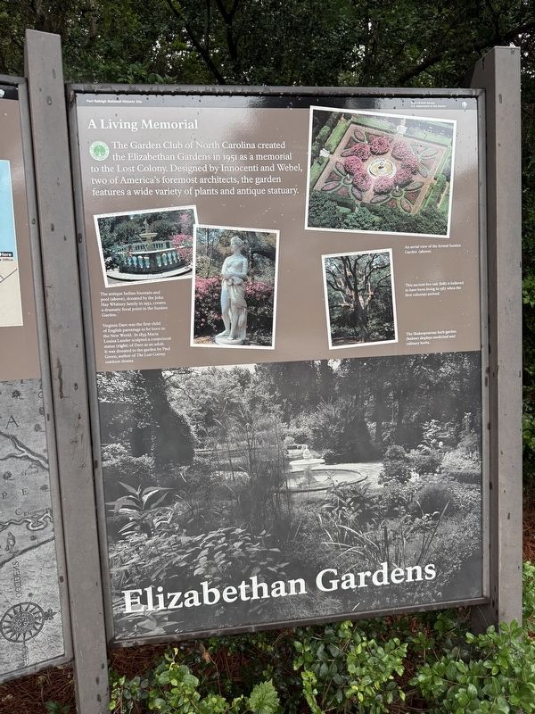
The Garden Club of North Carolina created the Elizabethan Gardens in 1951 as a memorial to the Lost Colony. Designed by Innocenti and Webel, two of America's foremost architects, the garden features a wide variety of plants and antique statuary.
[Captions:]
The antique Indian fountain and pool (above) donated by the John Hay Whitney family in 1952, creates a dramatic focal point in the Sunken Garden.
Virginia Dare was the first child of English parentage to be born in the New World. In 1859 Maria Louisa Lander sculpted a conjectural statue (right) of Dare as an adult. It was donated to the garden by Paul Green, author of The Lost Colony outdoor drama.
An aerial view of the formal Sunken Garden (above)
This ancient live oak (left) is believed to have been living in 1587 when the first colonists arrived.
The Shakespearean herb garden (below) displays medicinal and culinary herbs.
Erected by National Park Service, U.S. Department of the Interior.
Topics. This historical marker is listed in these topic lists: Architecture • Arts, Letters, Music • Horticulture & Forestry • Parks & Recreational Areas. A significant historical year for this entry is 1951.
Location. 35° 56.297′ N,
this page online

Regionally, this marker is in the Coastal Plain and on the Outer Banks. It is also in the American South, specifically in the Upper South, in the Tidewater, and on the Eastern Seaboard. Globally, it is in the North Atlantic Region, North America, the Western Hemisphere, the Western World, and the Anglosphere. Historically, it finds itself in what was once the territory of the Mississippian Culture, one of the original Thirteen Colonies, one of the Confederate States of America, and the Antebellum South.
Other nearby markers. At least 8 other markers are within walking distance of this marker: The Lost Colony (here, next to this marker); Fort Raleigh National Historic Site (a few steps from this marker); Roanoke Island Historical Association Founders (a few steps from this marker); Science in the New World
By Devry Becker Jones (CC0), June 13, 2025
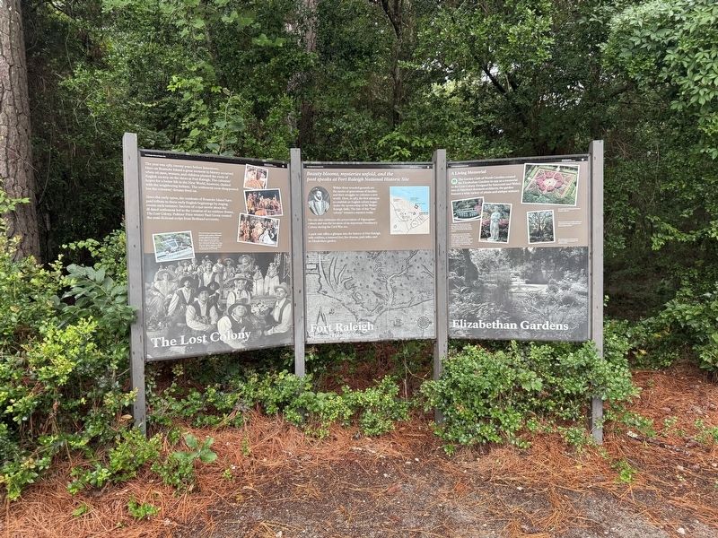
2. The Lost Colony, Fort Raleigh National Historic Site and Elizabethan Gardens Markers
Additional keywords. landscape architecture
Credits. This page was last revised on June 22, 2025. It was originally submitted on June 22, 2025, by Devry Becker Jones of Washington, District of Columbia. This page has been viewed 130 times since then and 36 times this year. Photos: 1, 2. submitted on June 22, 2025, by Devry Becker Jones of Washington, District of Columbia.
