Manteo in Dare County, North Carolina — The American South (South Atlantic)
The Freedom Trail
Fort Raleigh National Historic Site
| — | National Park Service, U.S. Department of the Interior | — |
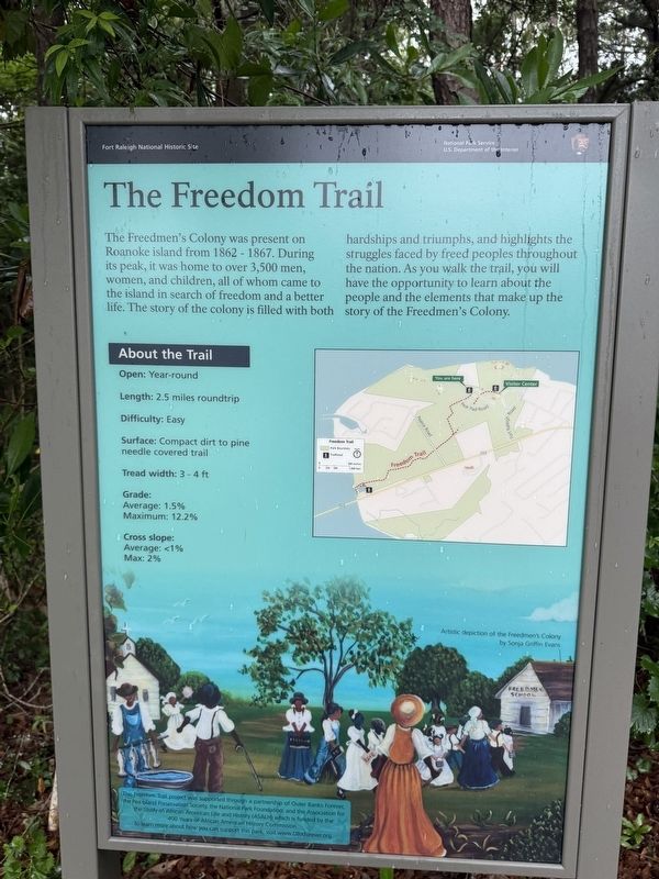
Erected by National Park Service, U.S. Department of the Interior.
Topics. This historical marker is listed in these topic lists: African Americans • Settlements & Settlers • War, US Civil. A significant historical year for this entry is 1862.
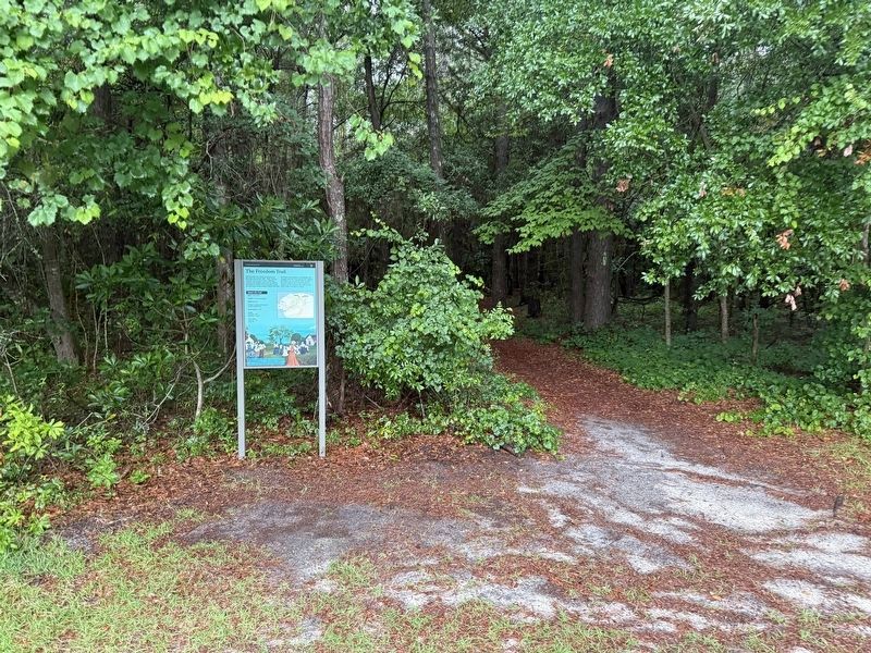
Location. 35° 56.207′ N, 75° 42.704′ W. Marker is in Manteo, North Carolina, in Dare County. It is on National Park Drive west of Pear Pad Road, on the left when traveling west. Touch for map. Marker is at or near this postal address: 1411 National Park Dr, Manteo NC 27954, United States of America. Touch for directions.

Regionally, this marker is in the Coastal Plain and on the
this page online
Other nearby markers. At least 8 other markers are within walking distance of this marker: The Elizabethan Gardens (within shouting distance of this marker); Welcome to Fort Raleigh National Historic Site (within shouting distance of this marker); The Elizabethan Garden (about 400 feet away, measured in a direct line); A Civil War Refuge (about 700 feet away); A Legacy of Freedom (about 700 feet away); First Light of Freedom (about 700 feet away); Join the Exploration Party (approx. 0.2 miles away); The New Fort in Virginia / Virginia Dare (approx. 0.2 miles away). Touch for a list and map of all markers in Manteo.
Credits. This page was last revised on July 16, 2025. It was originally submitted on June 22, 2025, by Devry Becker Jones of Washington, District of Columbia. This page has been viewed 394 times since then and 61 times this year. Photos: 1, 2. submitted on June 22, 2025, by Devry Becker Jones of Washington, District of Columbia.
