South Cove County Park near Seneca in Oconee County, South Carolina — The American South (South Atlantic)
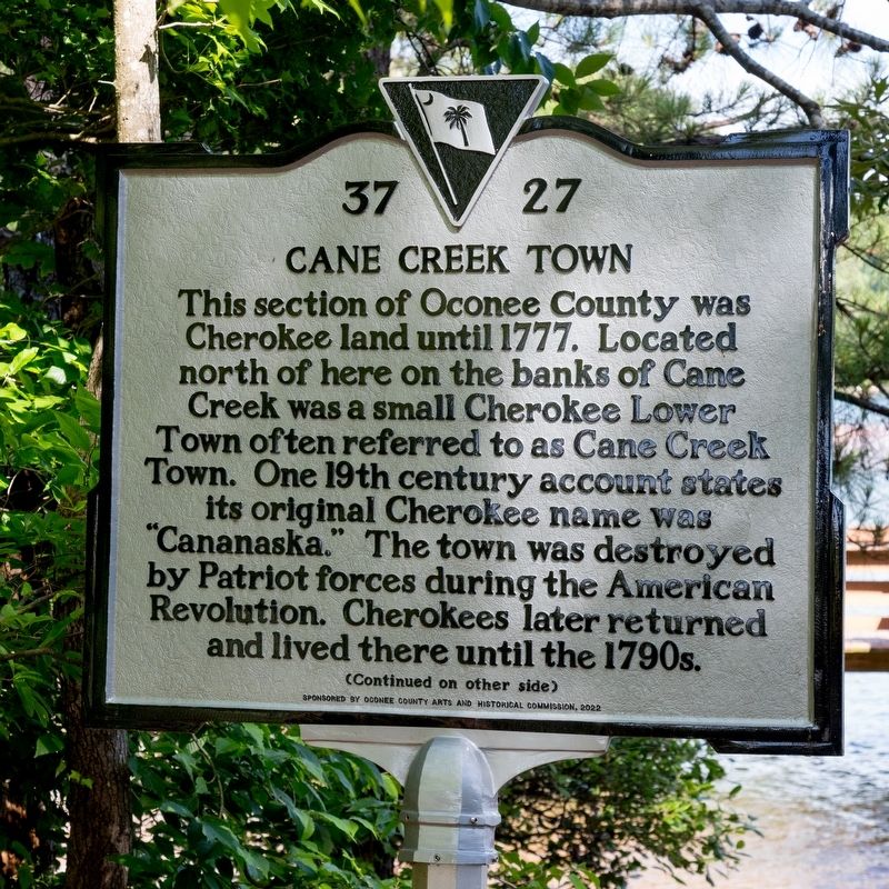
Cane Creek Town
Photographed by J. J. Prats, May 18, 2025
1. Cane Creek Town Marker, Side One
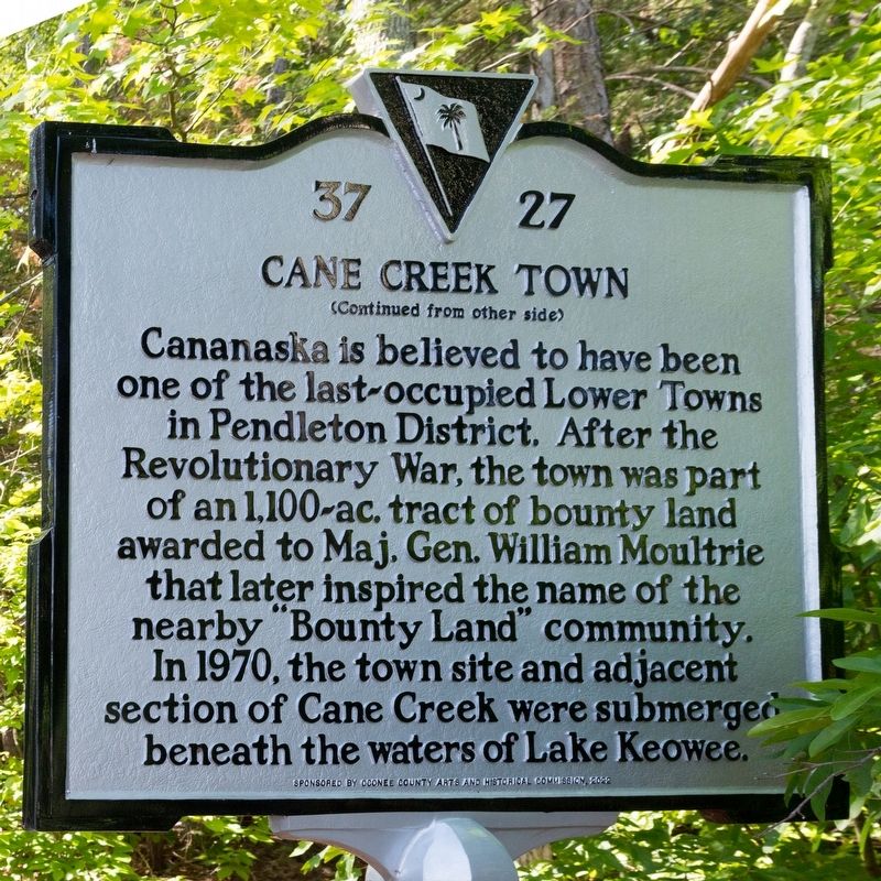
Cananaska is believed to have been one of the last-occupied Lower Towns in Pendleton District. After the Revolutionary War, the town was part of an 1,100-acre tract of bounty land awarded to Maj. Gen. William Moultrie that later inspired the name of the nearby “Bounty Land” community. In 1970, the town site and adjacent section of Cane Creek were submerged beneath the waters of Lake Keowee.
Erected 2022 by Department of Archives and History. Sponsored by the Oconee County Arts and Historical Commission. (Marker Number 37-27.)
Topics. This historical marker is listed in these topic lists: Indigenous Peoples and Communities • Notable Places. A significant historical year for this entry is 1777.
Location. 34° 42.699′ N, 82° 57.937′ W.
this page online

Regionally, this marker is in South Carolina’s and pstate, in the Foothills, in the Golden Corner. It is also in the American South, specifically in the Deep South, in Appalachia, and specifically in Southern Appalachia. Globally, it is in North America, the Western Hemisphere, the Western World, and the Anglosphere. Historically, it finds itself in what was once the original Cherokee Nation, the territory of the Mississippian Culture, one of the original Thirteen Colonies, one of the Confederate States of America, and the Antebellum South.
Other nearby markers. At least 8 other markers are within 3 miles of this marker, measured as the crow flies: Fairplay Community Veterans Memorial
Photographed by J. J. Prats, May 18, 2025
2. Cane Creek Town Marker, Side Two
Photographed by J. J. Prats, May 18, 2025
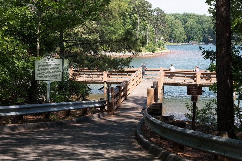
3. Cane Creek Town Marker
This is the South Cove County Park’s fishing pier.
Credits. This page was last revised on June 23, 2025. It was originally submitted on June 23, 2025, by J. J. Prats of Powell, Ohio. This page has been viewed 257 times since then and 79 times this year. Photos: 1, 2, 3. submitted on June 23, 2025, by J. J. Prats of Powell, Ohio.
