Greenville in Pitt County, North Carolina — The American South (South Atlantic)
Red Banks Church
"Hand-to-hand conflict"
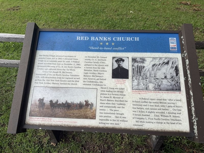
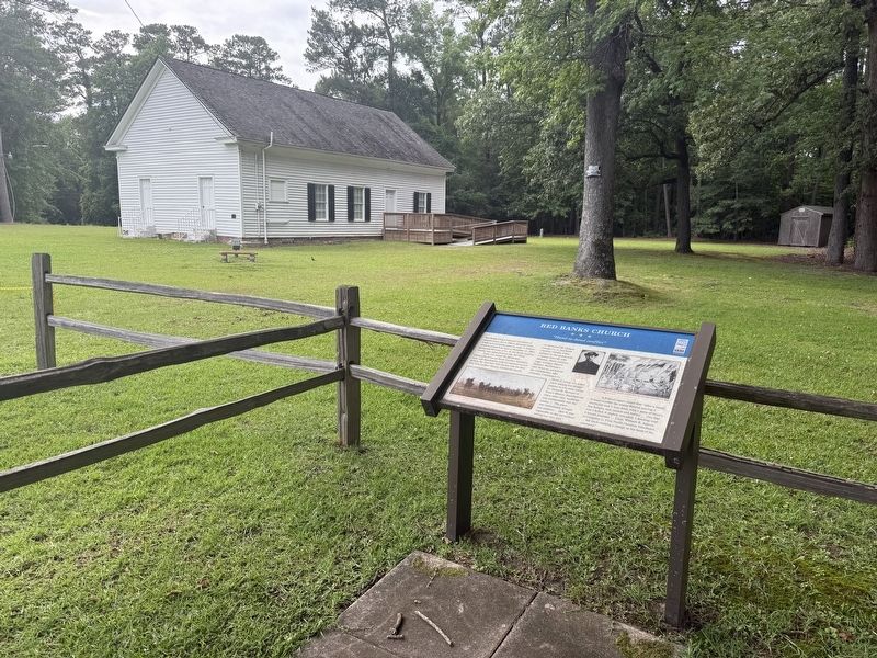
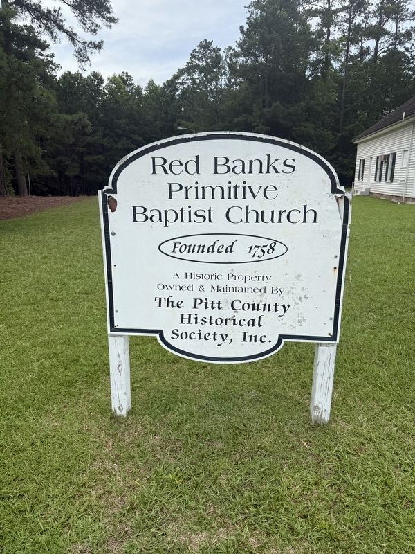
Red Banks Church attracted worshipers in peaceful times, but in 1863, it attracted Union troops as an assembly point for raids. A Federal attack launched from here on December 17, 1863, devastated the camp of Co. H., 3rd North Carolina Cavalry, and captured thirty-five Tar Heels.
Union Col. Joseph M. McChesney, commander of the 1st North Carolina Volunteers (US), with detachments from his regiment as well as the 12th New York Cavalry and the 23rd New York Artillery Battery, torched the church on December 30. Camped nearby, Co. G, 3rd North Carolina Cavalry (CSA), galloped to the church with a cannon from the 13th Battalion, North Carolina Light Artillery (Starr's Battery). McChesney's men, however, got behind the Confederates, who retreated. Confederate Lt. David C. Camp was killed while leading his cavalry platoon in a furious charge. Lt. James H. Myrover of Starr's Battery described the chaos when they "suddenly and unexpectedly met the enemy. … The piece … was immediately brought into position … [but it] was impossible to fire [it] without killing our own men."
A Federal report noted that "after a hand-to-hand
this page online
Erected by North Carolina Civil War Trails.
Topics and series. This historical marker is listed in these topic lists: Religion & Religious Structures • War, US Civil. In addition, it is included in the North Carolina Civil War Trails series list. A significant historical date for this entry is December 17, 1863.
Location. 35° 34.305′ N, 77° 20.439′ W. Marker is in Greenville, North Carolina, in Pitt County. It is at the intersection of East Fire Tower Road (County Road 1725) and Eleanor Street, on the right when traveling west on East Fire Tower Road. Touch for map. Marker is at or near this postal address: 2601 E Fire Tower Rd, Greenville NC 27858, United States of America. Touch for directions.

Regionally, this marker is in North Carolina’s Coastal Plain. It is also in the American South, specifically
Other nearby markers. At least 8 other markers are within 4 miles of this marker, measured as the crow flies: East Carolina College Veterans Memorial (approx. 2.6 miles away); East Carolina University Veterans Memorial (approx. 2.6 miles away); East Carolina University (approx. 2.6 miles away); Robert Lee Humber (approx. 3.3 miles away); Arts & Culture (approx. 3.3 miles away); Town Commons Park Bridge (approx. 3.3 miles away); Federals Occupy Greenville (approx. 3.4 miles away); a different marker also named Town Commons Park Bridge (approx. 3.4 miles away). Touch for a list and map of all markers in Greenville.
Another marker is no longer nearby. Red Banks Church (has been replaced with this marker).
Credits. This page was last revised on June 23, 2025. It was originally submitted on June 23, 2025, by Devry Becker Jones of Washington, District of Columbia. This page has been viewed 137 times since then and 30 times this year. Photos: 1, 2, 3. submitted on June 23, 2025, by Devry Becker Jones of Washington, District of Columbia.
