
Near Harrellsville in Hertford County, North Carolina — The American South (South Atlantic)
Choanoac
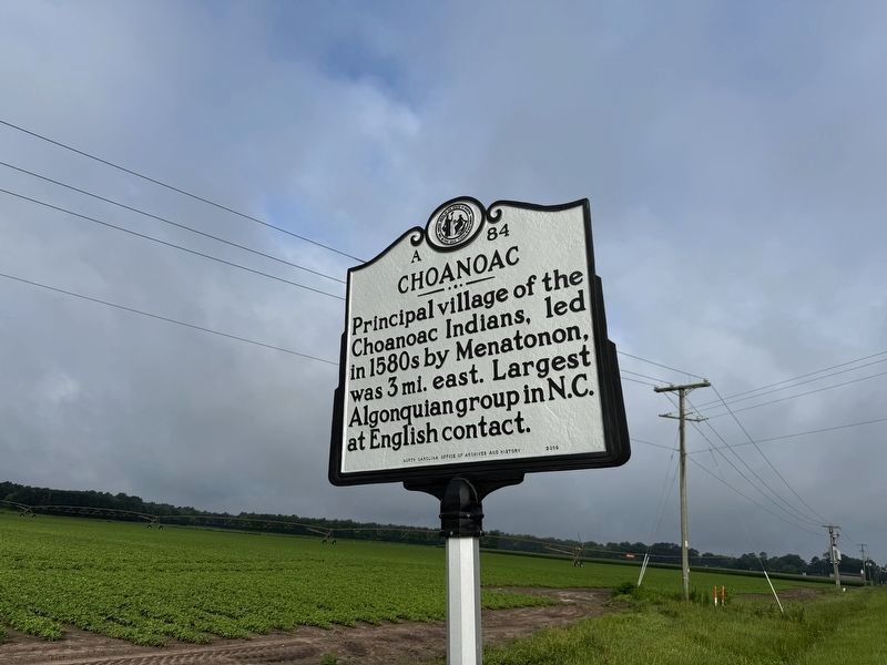
Erected 2016 by North Carolina Office of Archives and History. (Marker Number A-84.)
Topics and series. This historical marker is listed in these topic lists: Indigenous Peoples and Communities • Settlements & Settlers. In addition, it is included in the North Carolina Division of Archives and History series list.
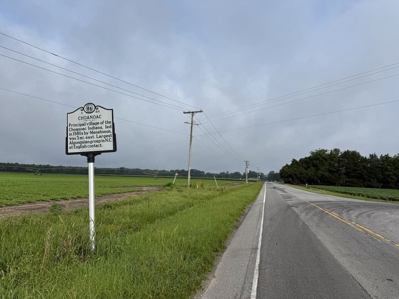
Location. 36° 17.97′ N, 76° 46.872′ W. Marker is near Harrellsville, North Carolina, in Hertford County. It is at the intersection of State Highway 45 and County Road 1441, on the right when traveling east on State Highway 45. Touch for map. Marker is at or near this postal address: 2121 Highway 45, Harrellsville NC 27942, United States of America. Touch for directions.

Regionally, this marker is in North Carolina’s Coastal Plain. It is also in the American South, specifically in the Upper South, in the Tidewater, and on the Eastern Seaboard. Globally, it is in the North Atlantic Region, North America,
this page online
Other nearby markers. At least 8 other markers are within 8 miles of this marker, measured as the crow flies: Mary Louise Manley Thompson (approx. 0.7 miles away); Dr. Walter Reed (approx. 0.7 miles away); The Cannon’s Ferry Community (approx. 6.4 miles away); The Herring Fishing Industry (approx. 6.4 miles away); The Chowan River (approx. 6.4 miles away); "United We Stand" (approx. 7.3 miles away); Gates County Confederate Monument (approx. 7.3 miles away); William P. Roberts (approx. 7.4 miles away). Touch for a list and map of all markers in Harrellsville.
Other markers no longer nearby. War on the Chowan River (was approx. 6.4 miles away but has been confirmed missing); Gates County Courthouse (was approx. 7.4 miles away but has been confirmed missing).
Also see . . . Coanoac (A-84) profile. This link includes an expanded essay about the subject
Credits. This page was last revised on June 23, 2025. It was originally submitted on June 23, 2025, by Devry Becker Jones of Washington, District of Columbia. This page has been viewed 138 times since then and 21 times this year. Photos: 1, 2. submitted on June 23, 2025, by Devry Becker Jones of Washington, District of Columbia.
