Murfreesboro in Hertford County, North Carolina — The American South (South Atlantic)
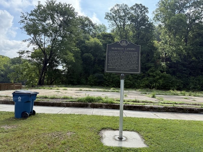
Murfrees Landing
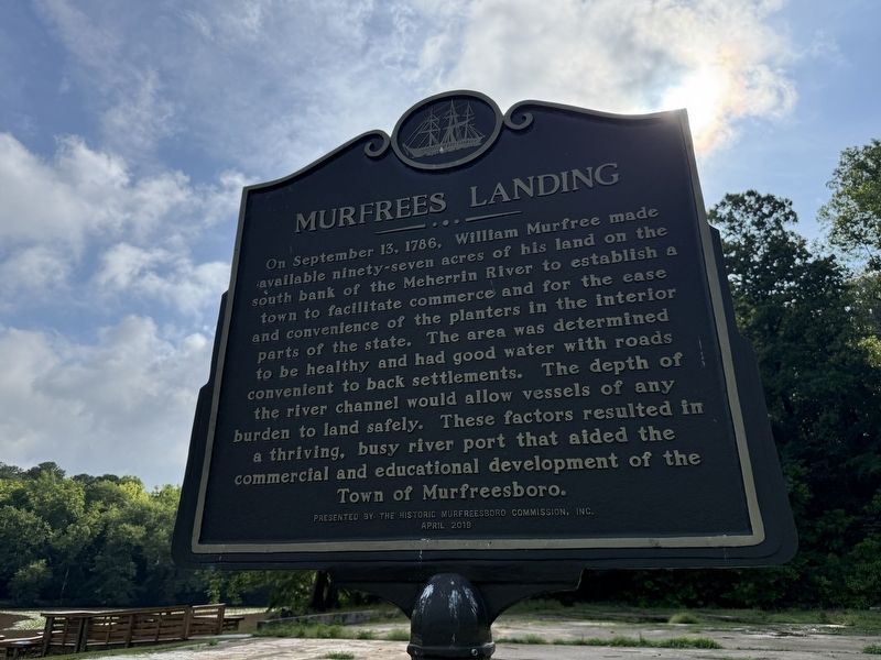
Erected 2019 by The Historic Murfreesboro Commission, Inc.
Topics. This historical marker is listed in these topic lists: Industry & Commerce • Settlements & Settlers • Waterways & Vessels. A significant historical date for this entry is September 13, 1786.
Location. 36° 26.768′ N, 77° 5.291′ W. Marker is in Murfreesboro, North Carolina, in Hertford County. It is on Hart Street 0.2 miles north of East Street, on the right when traveling north. Touch for map. Marker is at or near this postal address: 1253 River St, Murfreesboro NC 27855, United States of America.
this page online

Regionally, this marker is in North Carolina’s Coastal Plain. It is also in the American South, specifically in the Upper South, in the Tidewater, and on the Eastern Seaboard. Globally, it is in the North Atlantic Region, North America, the Western Hemisphere, the Western World, and the Anglosphere. Historically, it finds itself in what was once the territory of the Mississippian Culture, one of the original Thirteen Colonies, one of the Confederate States of America, and the Antebellum South.
Other nearby markers. At least 8 other markers are within walking distance of this marker: Ruffin Brothers Grocery (approx. ¼ mile away); Indian Queen Inn (approx. 0.4 miles away); Lafayette (approx. 0.4 miles away); John H. Wheeler (approx. half a mile away); Conjure Doctor (approx. half a mile away); The Jordan Office Building (approx. half a mile away); Stanley Winborne (approx. half a mile away); Disabled American Veterans Memorial (approx. 0.6 miles away). Touch for a list and map of all markers in Murfreesboro.
Credits. This page was last revised on June 23, 2025. It was originally submitted on June 23, 2025, by Devry Becker Jones of Washington, District of Columbia. This page has been viewed 179 times since then and 16 times this year. Photos: 1, 2. submitted on June 23, 2025, by Devry Becker Jones of Washington, District of Columbia.
