Courtland in Southampton County, Virginia — The American South (Mid-Atlantic)
St. Luke's Church
Militia Muster Site
| — | Nat Turner Trail: 1831 Southampton Insurrection | — |
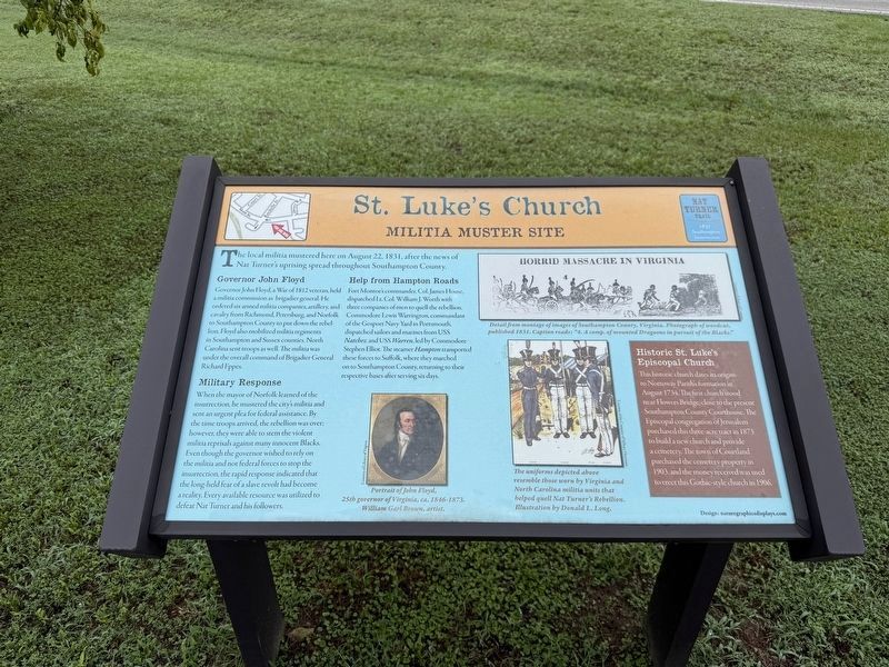
The local militia mustered here on August 22, 1831, after the news of Nat Turner's uprising spread throughout Southampton County.
Governor John Floyd
Governor John Floyd, a War of 1812 veteran, held a militia commission as brigadier general. He ordered six armed militia companies, artillery, and cavalry from Richmond, Petersburg, and Norfolk to Southampton County to put down the rebellion. Floyd also mobilized militia regiments in Southampton and Sussex counties. North Carolina sent troops as well. The militia was under the overall command of Brigadier General Richard Eppes.
Militia Response
When the mayor of Norfolk learned of the insurrection, he mustered the city's militia and sent an urgent plea for federal assistance. By the time troops arrived, the rebellion was over; however, they were able to stem the violent militia reprisals against many innocent Blacks. Even though the governor wished to rely on the militia and not federal forces to stop the insurrection, the rapid response indicated the long-held fear of a slave revolt had become a reality. Every available resource was utilized to defeat Nat Turner
this page online
Help from Hampton Roads
Fort Monroe's commander, Col. James House, dispatched Lt. Col. William J. Worth with three companies of men to quell the rebellion. Commodore Lewis Warrington, commandant of the Gosport Navy Yard in Portsmouth, dispatched sailors and marines from USS Natchez and USS Warren, led by Commodore Stephen Elliot. The steamer Hampton transported these forces to Suffolk, where they marched on to Southampton County, returning to their respective bases after serving six days.
[Sidebar:]
Historic St. Luke's Episcopal Church
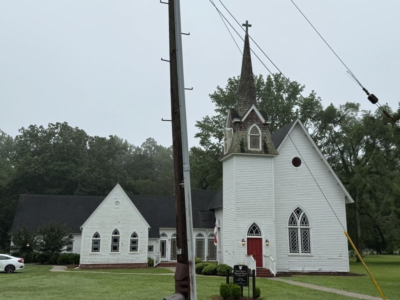
This historic church dates its origins to Nottoway Parish's formation in August 1734. The first church stood near Flowers Bridge, close to the present Southampton County Courthouse. The Episcopal congregation of Jerusalem purchased this three-acre tract in 1873 to build a new church and provide a cemetery. The town of Courtland purchased the cemetery property in 1903, and the money received was used to erect this Gothic-style church in 1906.
[Captions:]
Portrait of John Floyd, 25th governor of Virginia, ca. 1846-1873. William Garl Brown, artist.
Detail from montage of images of Southampton County, Virginia. Photograph of woodcut, published 1831. Caption reads: "4. A comp. of mounted Dragoons in pursuit of the Blacks."
The uniforms depicted above resemble those worn by Virginia and North Carolina militia units that helped quell Nat Turner's Rebellion. Illustration by Donald L. Long.
Erected by Nat
Topics and series. This historical marker is listed in these topic lists: Abolition & Underground RR • Architecture • Military • Religion & Religious Structures. In addition, it is included in the Nat Turner Trail: 1831 Southampton Insurrection series list. A significant historical date for this entry is August 22, 1831.
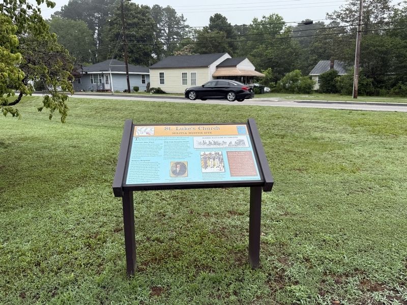
Location. 36° 42.739′ N, 77° 3.948′ W. Marker is in Courtland, Virginia, in Southampton County. It is at the intersection of Rochelle Street (County Road T-611) and Main Street (Business U.S. 58), on the left when traveling north on Rochelle Street. Touch for map. Marker is at or near this postal address: 22413 Main St, Courtland VA 23837, United States of America. Touch for directions.

Regionally, this marker is in Coastal Virginia and in the Hampton Roads Metropolitan Area. It is also in the American South, specifically in the Upper South, and in the Tidewater. Globally, it is in North America, the Western Hemisphere, the Western World, and the Anglosphere. Historically, it finds itself in what was once the territory of the Mississippian Culture, one of the original Thirteen
Other nearby markers. At least 8 other markers are within walking distance of this marker: Seven Gables (within shouting distance of this marker); Southampton County (about 500 feet away, measured in a direct line); The County Courthouse (about 500 feet away); Cypress Bridge (about 500 feet away); John Brown (about 500 feet away); The County Jail (about 500 feet away); Dred Scott Decision (about 500 feet away); Rochelle-Prince House (about 500 feet away). Touch for a list and map of all markers in Courtland.

Photographed by Mark Parker, November 7, 2025
4. St. Luke's Church sign
Credits. This page was last revised on November 19, 2025. It was originally submitted on June 24, 2025, by Devry Becker Jones of Washington, District of Columbia. This page has been viewed 313 times since then and 103 times this year. Photos: 1, 2, 3. submitted on June 24, 2025, by Devry Becker Jones of Washington, District of Columbia. 4. submitted on November 11, 2025, by Mark Parker of Hickory, North Carolina.
