
Echo in Summit County, Utah — The American Mountains (Southwest)
Weber Pony Express Station
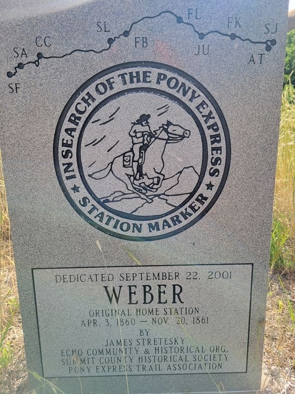
Photographed by Jeremy Snow, June 20, 2025
1. Weber Pony Express Station Marker
Weber original home station
Apr. 3, 1860 - Nov. 20, 1861
Captain Albert Tracy on April 7, 1860 reported that the station at the mouth of Echo Canyon was being used for a system of relays known as the "Pony Express." The next day he was passed by Dave, the express boy, on his Kentucky racer going east in a snow storm. John Ridge in July 1861 stated that a good supper can be had at Weber station.
James E. Bromley, Division Superintendent from Pacific Springs, Wyoming to Salt Lake City for the Pony Express Company settled at this site.
Originally there were two wood buildings at the site, the station and stables. More substantial buildings were built later to serve the stage line and then the railroad. These original two buildings stood at this site. Later on, Echo City was laid out by the Union Pacific Railroad.
©2001 Joe Nardone
Erected 2001 by James Stretesky, Echo Community & Historical Org., Summit County Historical Society, Pony Express Trail Association.
Topics and series. This historical marker is listed in these topic lists: Communications • Roads & Vehicles. In addition, it is included
this page online
Location. 40° 58.362′ N, 111° 26.304′ W. Marker is in Echo, Utah, in Summit County. It is on South Echo Road, on the right when traveling west. Touch for map. Marker is at or near this postal address: S Echo Road, Coalville UT 84017, United States of America. Touch for directions.

Regionally, this marker is in Utah’s Uinta Mountains, in the Wasatch Front, and in Greater Provo. It is also in the American Mountain West and on the Colorado Plateau. Globally, it is in North America, the Rocky Mountains, the Western Hemisphere, the Western World, and the Anglosphere. Historically, it finds itself in what was once New Spain and also Mexico’s Alta California.
Other nearby markers. At least 8 other markers are within 2 miles of this marker, measured as the crow flies: The Battle of the Signs (a few steps from this marker); Pulpit Rock (approx. ¼ mile away); Iron Rails and Silver Dreams (approx. ¼ mile away); Control of Influence (approx. ¼ mile away); Echo School and Church (approx. 0.4 miles away); Echo Church and School
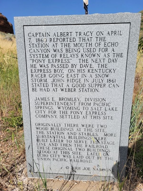
Photographed by Jeremy Snow, June 20, 2025
2. Weber Pony Express Station Marker
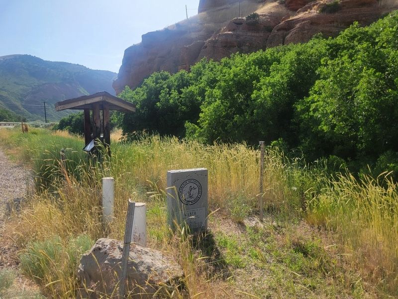
Photographed by Jeremy Snow, June 20, 2025
3. Weber Pony Express Station Marker
Credits. This page was last revised on June 26, 2025. It was originally submitted on June 25, 2025, by Jeremy Snow of Cedar City, Utah. This page has been viewed 273 times since then and 41 times this year. Photos: 1, 2, 3. submitted on June 25, 2025, by Jeremy Snow of Cedar City, Utah. • Andrew Ruppenstein was the editor who published this page.
