Watervliet in Albany County, New York — The American Northeast (Mid-Atlantic)
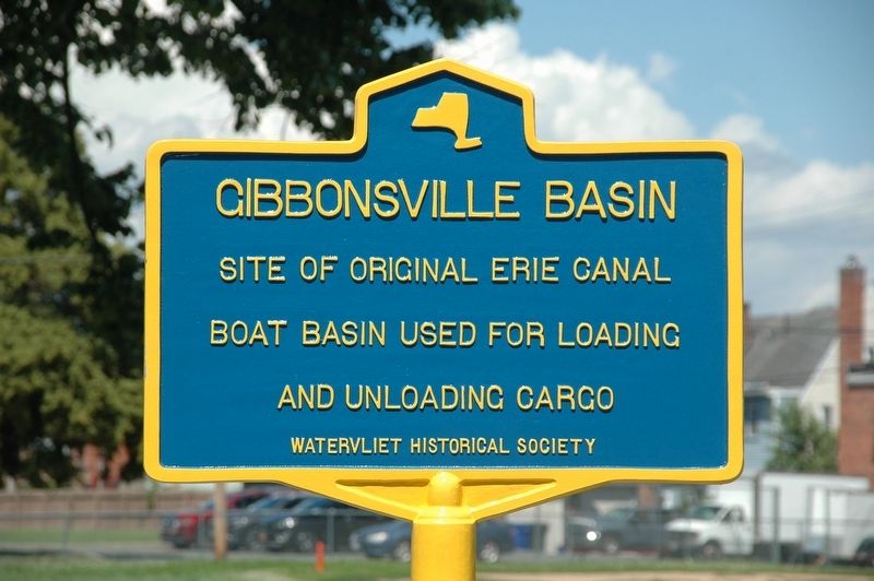
Gibbonsville Basin
Photographed by Howard C. Ohlhous, June 25, 2025
1. Gibbonsville Basin Marker
boat basin used for loading
and unloading cargo
Erected by Watervliet Historical Society.
Topics. This historical marker is listed in these topic lists: Industry & Commerce • Waterways & Vessels.
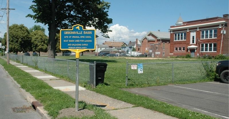
Location. 42° 43.454′ N, 73° 42.183′ W. Marker is in Watervliet, New York, in Albany County. It is on 2nd Avenue (New York State Route 32) north of 13th Street ( Route 32), on the right when traveling north. Touch for map. Marker is in this post office area: Watervliet NY 12189, United States of America. Touch for directions.

Regionally, this marker is in Upstate New York, in the Capital District, and in the Albany Metropolitan Area. It is also in the American Northeast and in the Mid-Atlantic. Globally, it is in North America, the Western Hemisphere, the Western World, and the Anglosphere. Historically, it finds itself in what was once New Netherland and also one of the original Thirteen Colonies.
Other nearby markers. At least 8 other markers are within walking distance of this marker: 14th Street Bridge (within shouting
this page online
Also see . . . Erie Canal (Wikipedia). (Submitted on June 27, 2025, by Michael Herrick of Southbury, Connecticut.)
Photographed by Howard C. Ohlhous, June 25, 2025
2. Gibbonsville Basin Marker

Photographed by Howard C. Ohlhous, June 25, 2025
3. Gibbonsville Basin Marker
The view is to the north along 2nd Ave, which is also Route 32.
Credits. This page was last revised on June 27, 2025. It was originally submitted on June 25, 2025, by Howard C. Ohlhous of Duanesburg, New York. This page has been viewed 127 times since then and 23 times this year. Photos: 1, 2, 3. submitted on June 25, 2025, by Howard C. Ohlhous of Duanesburg, New York. • Michael Herrick was the editor who published this page.
