Simpsonville in Greenville County, South Carolina — The American South (South Atlantic)
The Simpsonville Potato House
Photographed by J. J. Prats, May 19, 2025
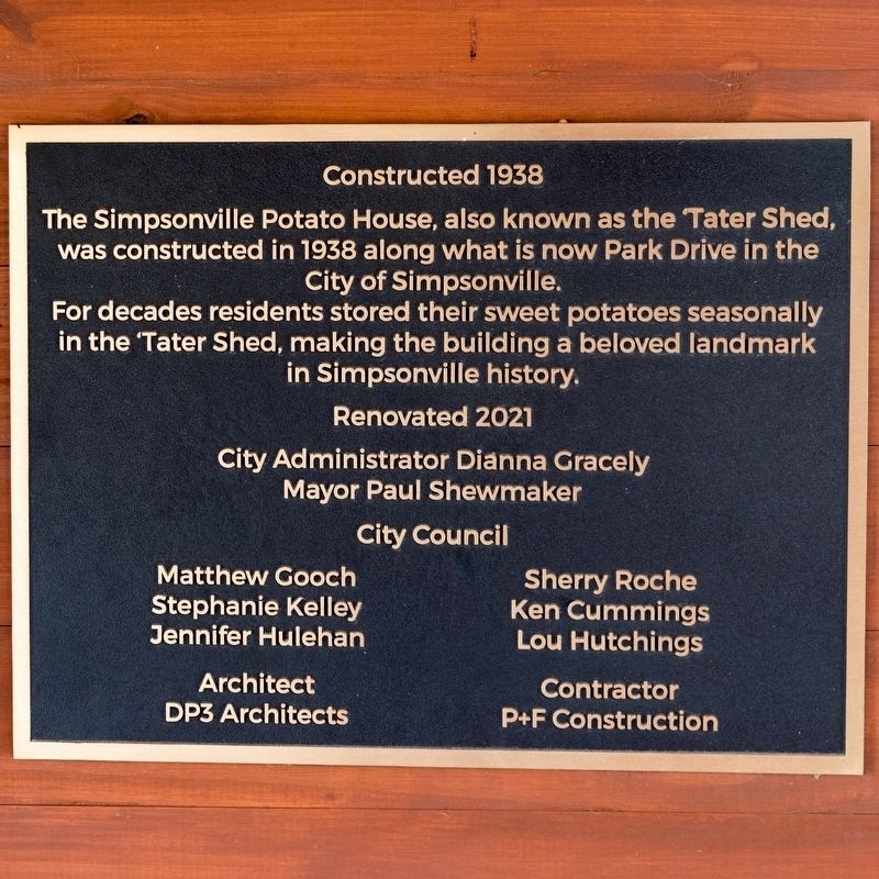
1. The Sympsonville Potato House Marker
For decades residents stored their sweet potatoes seasonally in the ’Tater Shed, making the building a beloved landmark in Simpsonville history.
City Administrator Dianna Gracely • Mayor Paul Shewmaker
City Council: Matthew Gooch • Stephanie Kelley • Jennifer Hulehan • Sherry Roche • Ken Cummings • Lou Hutchings
Architect: DP3 Architects • Contractor: P+F Construction
Erected 2021.
Topics. This historical marker is listed in these topic lists: Agriculture • Architecture. A significant historical year for this entry is 1938.
Location. 34° 44.446′ N, 82° 15.058′ W. Marker is in Simpsonville, South Carolina, in Greenville County. It can be reached from the intersection of Academy Street and East College Drive. It is in Gracely Park. Touch for map. Marker is at or near this postal address: 425 E Curtis St, Simpsonville SC 29681, United States of America. Touch for directions.

Regionally, this marker is in Upstate and in the Greater
this page online
Other nearby markers. At least 8 other markers are within walking distance of this marker: Simpsonville Municipal Cemetery (about 400 feet away, measured in a direct line); Simpsonville Elementary School / Simpsonville High School (about 400 feet away); Simpsonville Library (about 700 feet away); Simpsonville Baptist Church (about 700 feet away); Holy Cross Episcopal Church Labyrinth (approx. 0.2 miles away); Simpsonville (approx. 0.3 miles away); Lawrence Lafayette Richardson, M.D. (approx. 0.3 miles away); Hendricks' Plaza (approx. 0.3 miles away). Touch for a list and map of all markers in Simpsonville.
Photographed by J. J. Prats, May 19, 2025
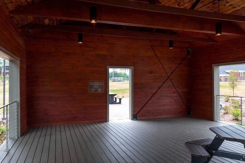
2. Marker on the Far Wall of the ’Tater House
It's to the left of the door.

Photographed by J. J. Prats, May 19, 2025
3. The Simpsonville Potato House
Credits. This page was last revised on November 9, 2025. It was originally submitted on June 25, 2025, by J. J. Prats of Powell, Ohio. This page has been viewed 236 times since then and 71 times this year. Photos: 1, 2, 3. submitted on June 25, 2025, by J. J. Prats of Powell, Ohio.
