Watervliet in Albany County, New York — The American Northeast (Mid-Atlantic)
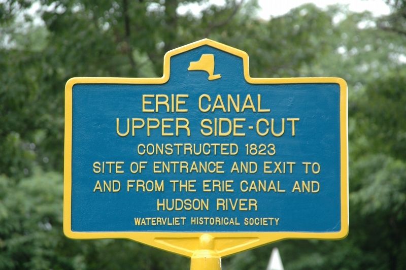
Erie Canal Upper Side-Cut
Photographed by Howard C. Ohlhous, June 26, 2025
1. Erie Canal Upper Side Cut Marker
Site of entrance and exit to
and from the Erie Canal and
Hudson River
Erected 2025 by Watervliet Historical Society.
Topics. This historical marker is listed in these topic lists: Industry & Commerce • Waterways & Vessels. A significant historical year for this entry is 1823.
Location. 42° 43.953′ N, 73° 41.82′ W. Marker is in Watervliet, New York, in Albany County. It is at the intersection of Selke Drive and Lower Hudson Avenue, on the right when traveling south on Selke Drive. Located on the grounds of the Hudson Shores Park. Touch for map. Marker is in this post office area: Watervliet NY 12189, United States of America. Touch for directions.

Regionally, this marker is in Upstate New York, in the Capital District, and in the Albany Metropolitan Area. It is also in the American Northeast and in the Mid-Atlantic. Globally, it is in North America, the Western Hemisphere, the Western World, and the Anglosphere. Historically, it finds itself in what was once New Netherland and also one of the original Thirteen Colonies.
Other nearby markers. At least 8 other markers are within
this page online
Also see . . . Erie Canal (Wikipedia). (Submitted on June 27, 2025, by Michael Herrick of Southbury, Connecticut.)
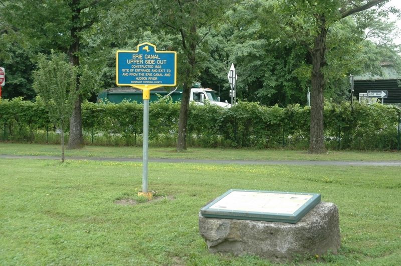
Photographed by Howard C. Ohlhous, June 26, 2025
2. Erie Canal Upper Side Cut Marker
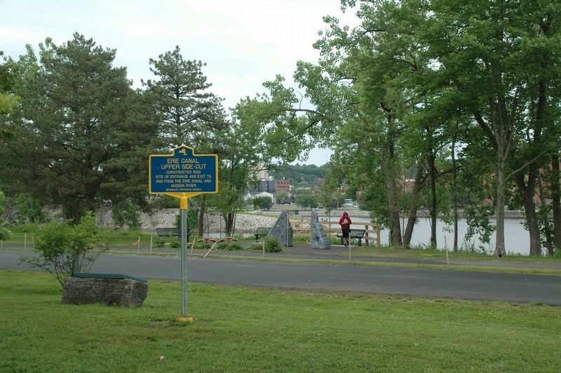
Photographed by Howard C. Ohlhous, June 26, 2025
3. Erie Canal Upper Side-Cut Marker
Credits. This page was last revised on June 27, 2025. It was originally submitted on June 26, 2025, by Howard C. Ohlhous of Duanesburg, New York. This page has been viewed 200 times since then and 29 times this year. Photos: 1, 2, 3. submitted on June 26, 2025, by Howard C. Ohlhous of Duanesburg, New York. • Michael Herrick was the editor who published this page.
