Danville, Virginia — The American South (Mid-Atlantic)
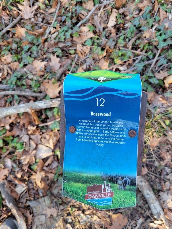
Basswood
| — | Ballou Park Interpretive Nature Trail | — |
Photographed by C. Ryan Dodson, March 8, 2025
1. Basswood Marker
Erected 2018 by City of Danville and Boy Scout Troop 452. (Marker Number 12.)
Topics. This historical marker is listed in these topic lists: Horticulture & Forestry • Indigenous Peoples and Communities • Settlements & Settlers.
Location. 36° 34.774′ N, 79° 25.591′ W. Marker is in Danville, Virginia. It can be reached from Memorial Drive (Business U.S. 29) north of Park Circle, on the right when traveling north. The Marker is located along the Ballou Park Interpretive Nature Trail. Touch for map. Marker is at or near this postal address: 760 West Main Street, Danville VA 24541, United States of America. Touch for directions.

Regionally, this marker is in Southside Virginia and specifically in Central Virginia. It is also in the American South and specifically in the Upper South.
this page online
Other nearby markers. At least 8 other markers are within walking distance of this marker: Memorial Drive (about 300 feet away, measured in a direct line); Flowering Dogwood (about 400 feet away); Ballou Park History (approx. ¼ mile away); "Lefty" Wilson Field (approx. 0.6 miles away); Site of the Schoolfield Recreation Center (approx. 0.7 miles away); The Cousins-Tulloch House (approx. 0.7 miles away); Schoolfield (approx. 0.7 miles away); Schoolfield Welfare Building (approx. 0.7 miles away). Touch for a list and map of all markers in Danville.
More about this marker. The Marker is one of 22 interpretive panels located along the Ballou Park Interpretive Nature Trail.

Photographed by C. Ryan Dodson, March 8, 2025
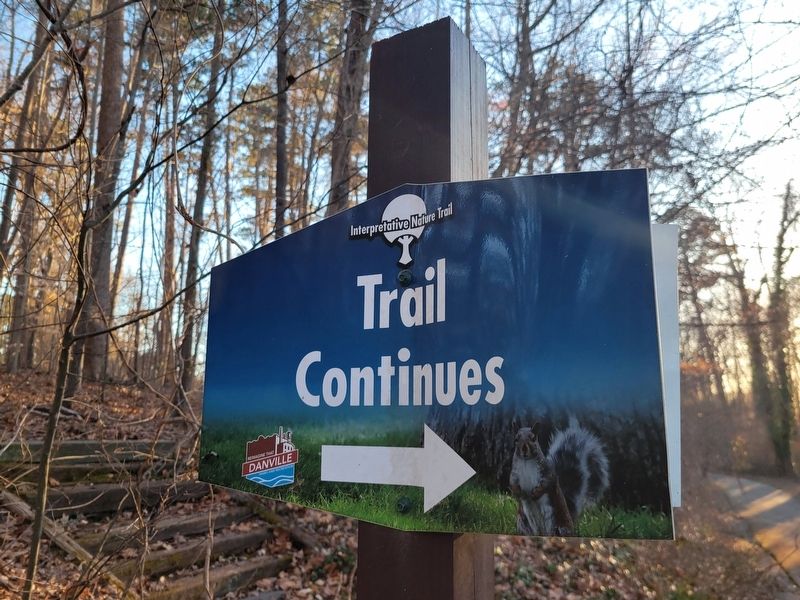
2. Basswood Marker
Photographed by C. Ryan Dodson, March 8, 2025
3. Ballou Park Interpretive Nature Trail
The Marker is located along the Ballou Park Interpretive Nature Trail.
Credits. This page was last revised on June 27, 2025. It was originally submitted on June 27, 2025, by C. Ryan Dodson of Danville, Virginia. This page has been viewed 84 times since then and 13 times this year. Photos: 1, 2, 3. submitted on June 27, 2025, by C. Ryan Dodson of Danville, Virginia. • Devry Becker Jones was the editor who published this page.
