Yorkville in Kendall County, Illinois — The American Midwest (Great Lakes)
Yorkville's Blackberry Creek Mill Stone
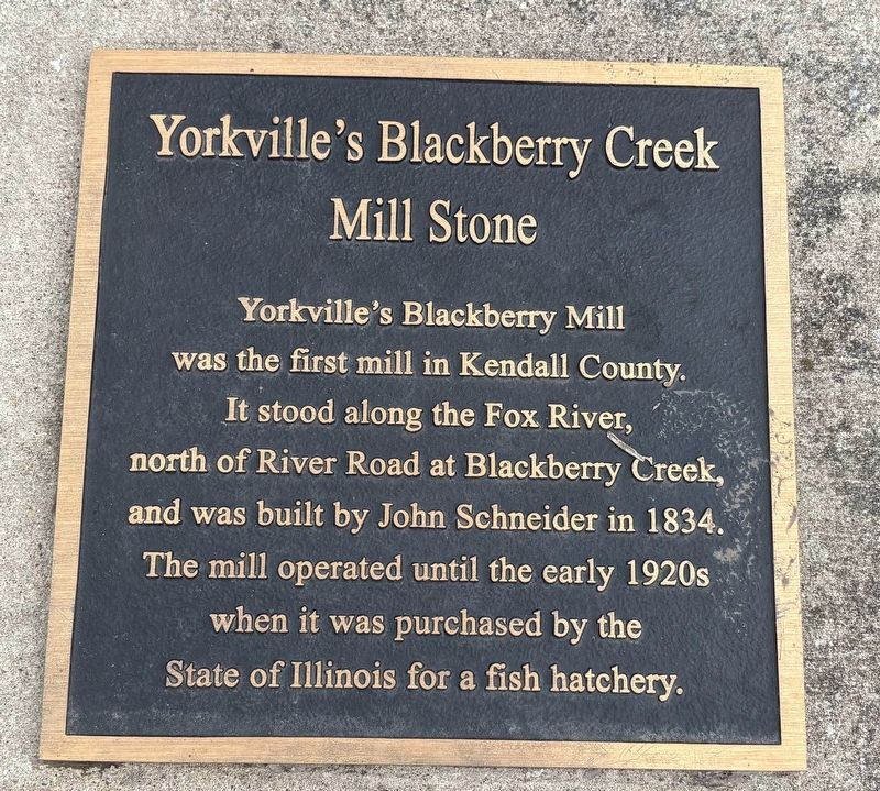
Photographed by Sean P. Flynn, June 27, 2025
1. Yorkville's Blackberry Creek Mill Stone Marker
Topics. This historical marker is listed in these topic lists: Animals • Industry & Commerce • Waterways & Vessels. A significant historical year for this entry is 1834.
Location. 41° 38.543′ N, 88° 26.599′ W. Marker is in Yorkville, Illinois, in Kendall County. It is on Hydraulic Avenue north of Mill Street, on the right when traveling west. The marker is in Riverfront Park, next to the pedestrian bridge to the Fox River dam. Touch for map. Marker is at or near this postal address: 301 East Hydraulic Avenue, Yorkville IL 60560, United States of America. Touch for directions.

Regionally, this marker is in Greater Chicago. It is also in the American Midwest and in the Corn Belt. Globally, it is in North America, the Western Hemisphere, the Western World, and the Anglosphere. Historically, it finds itself in what was once the
this page online
Other nearby markers. At least 8 other markers are within walking distance of this marker: Rachel L. Wright (about 300 feet away, measured in a direct line); Illinois' Northern Boundary (approx. 0.2 miles away); Kendall County Historic Courthouse (approx. ¼ mile away); Kendall County World War Memorial (approx. 0.3 miles away); The Mills of Kendall County (approx. 0.3 miles away); Kendall County Veterans Memorial (approx. 0.3 miles away); Bristol Churches and the Underground Railroad (approx. 0.4 miles away); Yorkville Congregational Church (approx. 0.4 miles away). Touch for a list and map of all markers in Yorkville.
Also see . . . History on the Fox blog: A look inside the Fox River’s mills from Montgomery to Yorkville.
Excerpt: "Down in today’s Yorkville—then the Village of Bristol—the Blackberry Mills at the mouth of Blackberry Creek on the Fox River were equipped with a smutter, three run of millstones, a flour cooler designed to cool the warm flour or meal before it entered the bolters, three bolting chests plus three additional small bolting(Submitted on June 27, 2025, by Sean P. Flynn of Oak Park, Illinois.)reels, a middling purifier, and a separator."Photographed by Sean P. Flynn, June 27, 20252. Yorkville's Blackberry Creek Mill Stone Marker
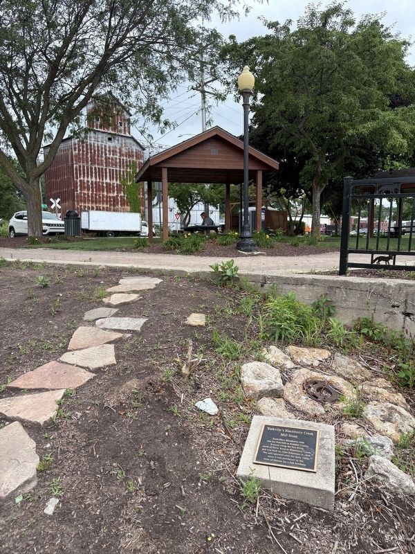
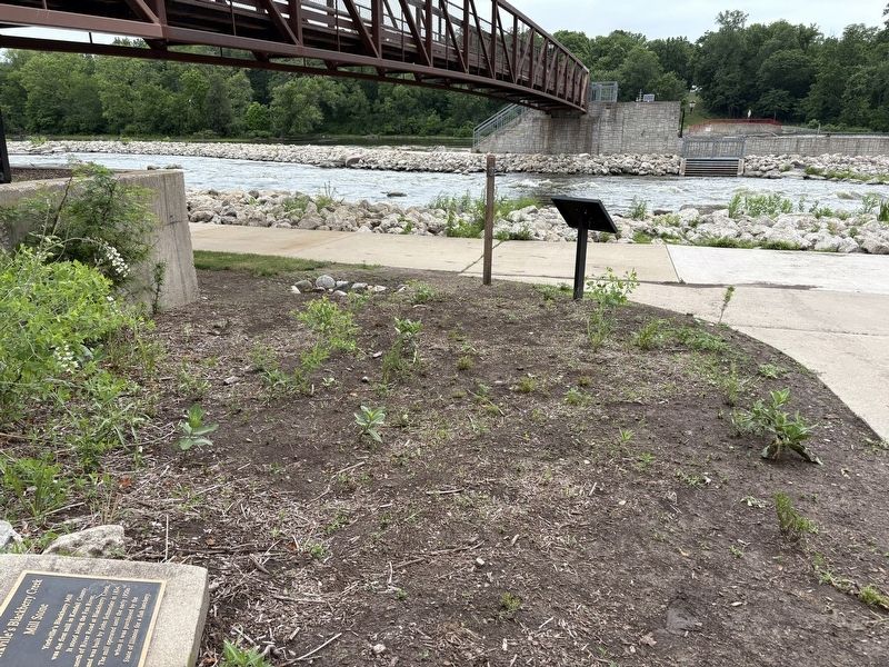
Photographed by Sean P. Flynn, June 27, 2025
3. Yorkville's Blackberry Creek Mill Stone Marker
The Fox River runs in the rear.
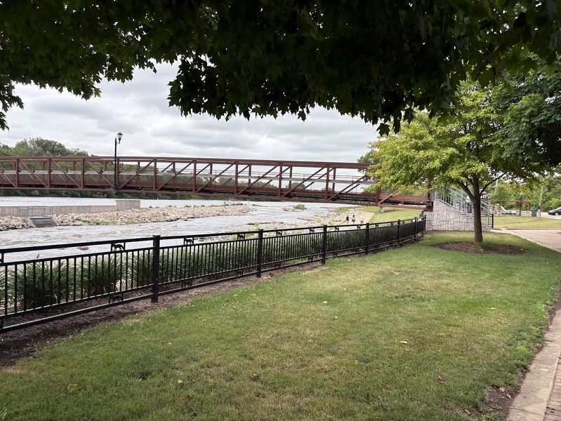
Photographed by Sean P. Flynn, June 27, 2025
4. Fox River
The Blackberry Creek Mill Stone marker is on the other side of this bridge over the Fox River.
Credits. This page was last revised on June 27, 2025. It was originally submitted on June 27, 2025, by Sean P. Flynn of Oak Park, Illinois. This page has been viewed 163 times since then and 47 times this year. Photos: 1, 2, 3, 4. submitted on June 27, 2025, by Sean P. Flynn of Oak Park, Illinois.
