Silver Creek in Lawrence County, Mississippi — The American South (East South Central)
St. Stephens Road

Photographed by Cosmos Mariner, June 23, 2025
1. St. Stephens Road Marker
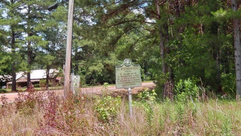
By this spot ran the St. Stephens Road, a route est. ca. 1812 to connect Fort St. Stephens, now in Alabama, with the Mississippi territorial capitol at Natchez.
Erected 1982 by Mississippi Department of Archives and History.
Topics and series. This historical marker is listed in these topic lists: Forts and Castles • Roads & Vehicles. In addition, it is included in the Mississippi State Historical Marker Program series list. A significant historical year for this entry is 1812.
Location. 31° 33.434′ N, 90° 4.682′ W. Marker is in Silver Creek, Mississippi, in Lawrence County. It is at the intersection of State Highway 184 and Old St. Stephens Road (Arm Road) (State Highway 43), on the right when traveling north on State Highway 184. The marker is located near the southeast corner of the intersection. Touch for map. Marker is in this post office area: Silver Creek MS 39663, United States of America. Touch for directions.

Regionally, this marker is in Southwest Mississippi and in the Pine Belt. It is also in the American South, specifically in the Deep South, and in the Piney Woods. Globally, it is in North
this page online
Other nearby markers. At least 8 other markers are within 14 miles of this marker, measured as the crow flies: A. H. Longino (approx. 1½ miles away); Gov. A.H. Longino House (approx. 1½ miles away); Harmon Runnels (approx. 1.6 miles away); J. B. Lenoir (approx. 1.8 miles away); Cooper's Ferry (approx. 1.8 miles away); Old Silver Creek Baptist Church (approx. 5.6 miles away); Bethany Church (approx. 11.6 miles away); First Choctaw Cession (approx. 13.8 miles away).
Related markers. Click here for a list of markers that are related to this marker.
Also see . . . A road that settled Mississippi (Wesson News).
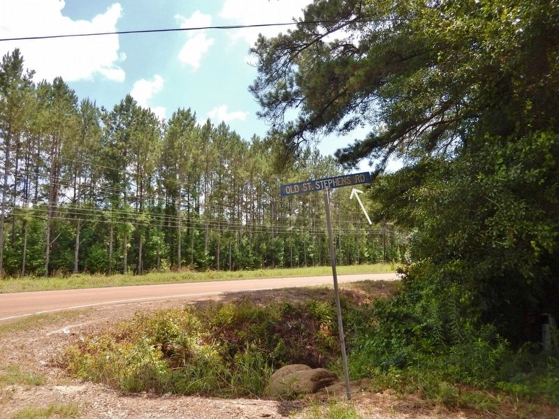
Excerpt: Before Highway 84 in the 1800s, St. Stephens Road connected then Mississippi capital Natchez to Fort St. Stephens in Alabama as the main wagon and trade route that settled Mississippi. St. Stephens Road ran east and west as a main thoroughfare(Submitted on June 27, 2025, by Cosmos Mariner of Cape Canaveral, Florida.)back in the early 1800s and is responsible for many of the settlements that are still here today. St. Stephens Road was constructed between 1806 and 1811 and the opening of the road enabled safer travel through this area ceded by the Treaty of Mount Dexter.Photographed by Cosmos Mariner, June 23, 20252. Old St. Stephens Road SignThe road is still known as "Old St. Stephens Road" on the west side of Highway 184.
Photographed by Cosmos Mariner, June 23, 2025
3. St. Stephens Road Marker (south side)
Looking northeast from Mississippi Highway 184. Today's "Arm Road" crosses in the background, eventually connecting again with "Old St. Stephens Road" to the east.

Photographed by Cosmos Mariner, June 23, 2025
4. St. Stephens Road Marker (north side)
Looking south along Mississippi Highway 184 from "Old St. Stephens Road." The marker is on the left.
Credits. This page was last revised on June 27, 2025. It was originally submitted on June 27, 2025, by Cosmos Mariner of Cape Canaveral, Florida. This page has been viewed 145 times since then and 36 times this year. Photos: 1, 2, 3, 4. submitted on June 27, 2025, by Cosmos Mariner of Cape Canaveral, Florida.
