Bedford in Bedford County, Virginia — The American South (Mid-Atlantic)
Sharp Top Mountain
Photographed by Craig Swain, June 21, 2025
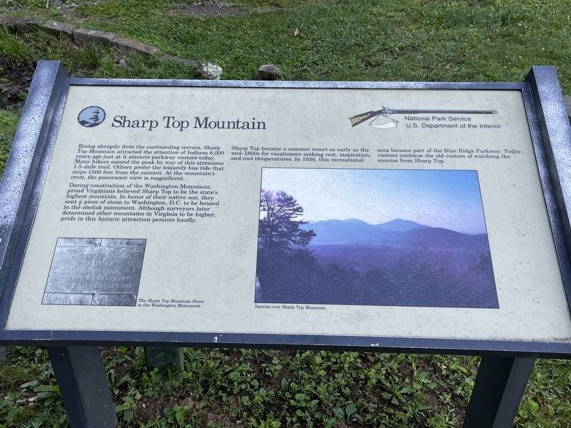
1. Sharp Top Mountain Marker
On the right side of the marker is a photograph of "Sunrise over Sharp Top Mountain."
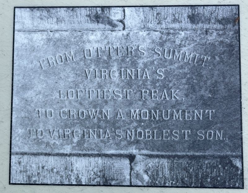
During construction of the Washington Monument, proud Virginians believed Sharp Top to be the state's highest mountain. In honor of their native son, they sent a piece of stone to Washington, D.C. to be housed in the obelisk monument. Although surveyors later determined other mountains in Virginia to be higher, pride in this historic attraction persists locally.
Sharp Top became a summer resort as early as the mid-1800s for vacationers seeking rest, inspiration, and cool temperatures. In 1936, this recreational area became part of the Blue Ridge Parkway. Today, visitors continue the old custom of watching the sunrise from Sharp Top.
Erected by National Park Service, U.S. Department of the Interior.
Topics. This historical marker is listed in this topic
this page online
Location. 37° 26.577′ N, 79° 36.564′ W. Marker is in Bedford, Virginia, in Bedford County. It is on Sheep Creek Road. The marker is located at the trailhead for the Sharp Top Mountain trail, and adjacent to the Sharp Top store, within the Peaks of Otter section of the Blue Ridge Parkway. Touch for map. Marker is at or near this postal address: 7861 Sheep Creek Rd, Bedford VA 24523, United States of America. Touch for directions.

Regionally, this marker is in Southwest Virginia. It is also in the American South and specifically in the Upper South. Globally, it is in North America, the Western Hemisphere, the Western World, and the Anglosphere. Historically, it finds itself in what was once the territory of the Mississippian Culture, one of the original Thirteen Colonies, one of the Confederate States of America, and the Antebellum South.
Other nearby markers. At least 8 other markers are within walking distance of this marker: Peaks of Otter (approx. 0.2 miles away); A Community at "the Mons" (approx. 0.2 miles away); Abbott Lake (approx. 0.4 miles away);
Photographed by Craig Swain, June 21, 2025
2. Inset Photo on the lower left
The Sharp Top Mountain Stone in the Washington Monument.
Also see . . . Sharp Top Mountain Trail. National Park Service page detailing the trail. (Submitted on June 28, 2025, by Craig Swain of Leesburg, Virginia.)
Photographed by Craig Swain, June 21, 2025
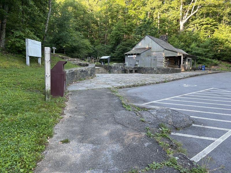
3. Sharp Top Mountain Trailhead
The marker is to the right of the trailhead. The store (and restrooms) are to the right. On the left is an informational marker providing details of the trail. Shuttle buses use a paved road to the far right.
Photographed by Craig Swain, June 21, 2025
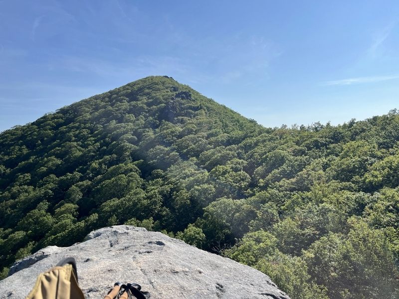
4. Sharp Top Mountain
Seen from Buzzard's Roost, a spur prominence to the north of the top, this view shows why the name "Sharp Top" is apt for this peak. The trail ascends from the parking lot up the side of the mountain (to the left of this photo) through the saddle between Sharp Top and Buzzard's Roost. And from there a series of switch backs through rocks, one can reach the top of the mountain.
Photographed by Craig Swain, June 21, 2025
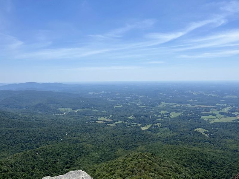
5. View from the Top
On clear days, visitors can enjoy a panoramic view in all directions from Sharp Top. This view to the east demonstrates the prominence of the peak in relation to Virginia's piedmont. It was said during the Civil War scouts could see Richmond with aid of binoculars or "spy glasses" from Sharp Top.
Photographed by Craig Swain, June 21, 2025
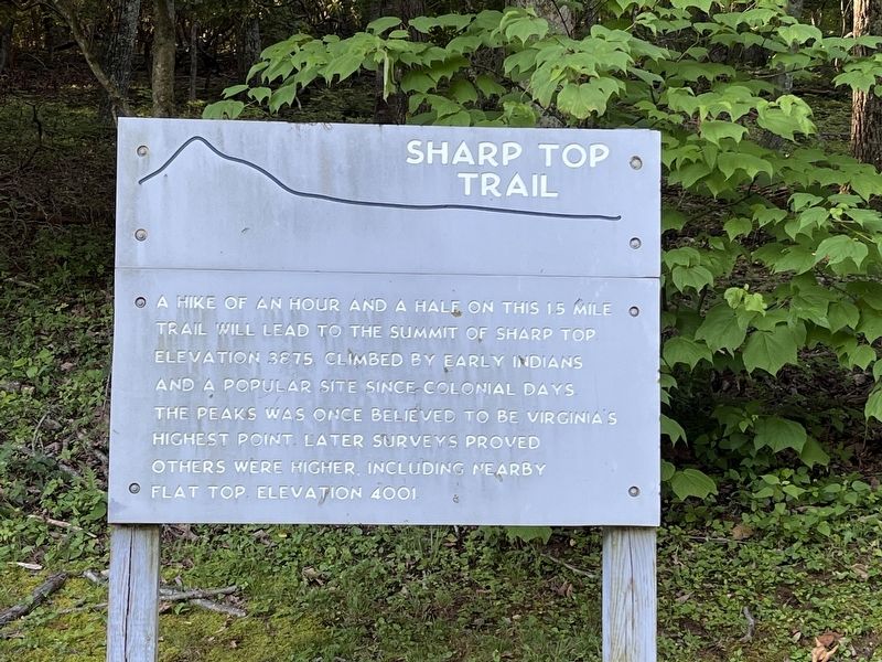
6. Sharp Top Trail Sign
A hike of an hour and a half on this 1.5 mile trail will lead to the summit of Sharp Top elevation 3875 climbed by early Indians and a popular site since colonial days. The peak was once believed to be Virginia's highest point. Later surveys proved others were higher, including nearby Flat Top elevation 4001.
Credits. This page was last revised on June 28, 2025. It was originally submitted on June 28, 2025, by Craig Swain of Leesburg, Virginia. This page has been viewed 192 times since then and 47 times this year. Photos: 1, 2, 3, 4, 5, 6. submitted on June 28, 2025, by Craig Swain of Leesburg, Virginia.
