
Near Marlowe in Berkeley County, West Virginia — The American South (Appalachia)
1862 Antietam Campaign
Lee Invades Maryland
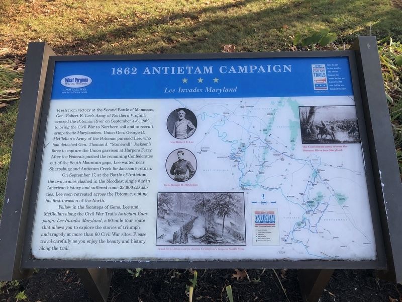
Fresh from victory at the Second Battle of Manassas, Gen. Robert E. Lee’s Army of Northern Virginia crossed the Potomac River on September 4-6, 1862, to bring the Civil War to Northern soil and to recruit sympathetic Marylanders. Union Gen. George B. McClellan’s Army of the Potomac pursued Lee, who had detached Gen. Thomas J. “Stonewall” Jackson’s force to capture the Union garrison at Harpers Ferry. After the Federals pushed the remaining Confederates out of the South Mountain gaps, Lee waited near Sharpsburg and Antietam Creek for Jackson’s return.
On September 17, at the Battle of Antietam, the two armies clashed in the bloodiest single day in American history and suffered some 23,000 casualties. Lee soon retreated across the Potomac, ending his first invasion of the North.
Follow in the footsteps of Gens. Lee and McClellan along the Civil War Trails Antietam Campaign: Lee Invades Maryland, a 90-mile tour route that allows you to explore the stories of triumph and tragedy at more than 60 Civil War sites. Please travel carefully as you enjoy the beauty and history along the trail.
Erected by West Virginia
this page online
Topics and series. This historical marker is listed in this topic list: War, US Civil. In addition, it is included in the West Virginia Civil War Trails series list. A significant historical month for this entry is September 1900.
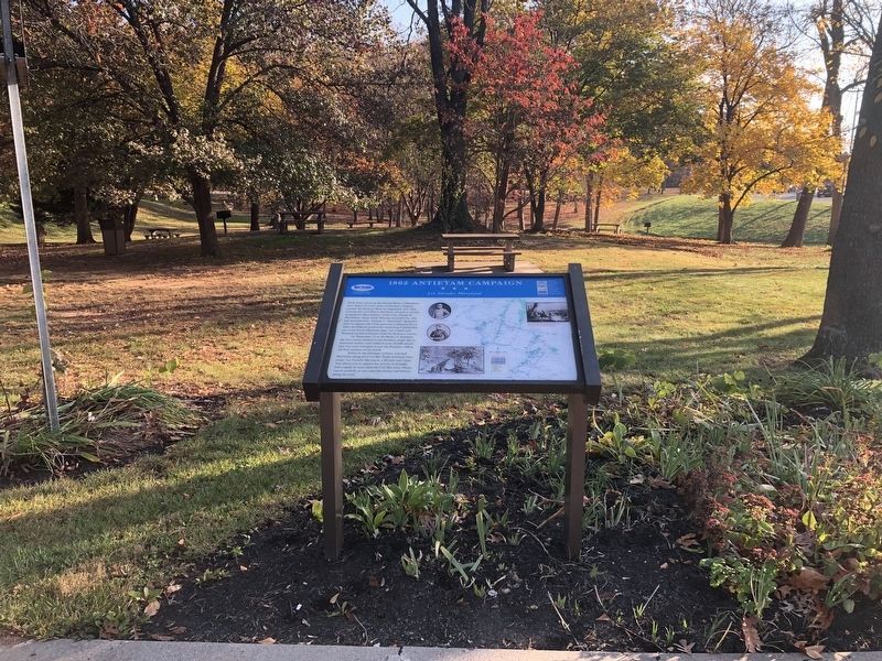
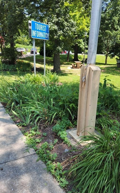
Location. Marker has been permanently removed. It was located near 39° 35.214′ N, 77° 50.85′ W. Marker was near Marlowe, West Virginia, in Berkeley County. It was on Interstate 81. Marker is located on the grounds of the I-81 Welcome Center in West Virginia near the Maryland border. Touch for map. Marker was in this post office area: Falling Waters WV 25419, United States of America.
We have been informed that this marker is no longer there and will not be replaced. This page is an archival view of what was.
Regionally, this marker was in the Eastern Panhandle. It was also in the American South, specifically in the Upper South, in Appalachia, and specifically in Northern Appalachia. Globally, it was in North America, the Western Hemisphere, the Western World, and the Anglosphere. Historically, it found itself in what was once the territory of the Mississippian Culture and also the Antebellum

Other nearby markers. At least 8 other markers are within 2 miles of this location, measured as the crow flies: West Virginia (Berkeley County) / Maryland (approx. 1.2 miles away); Watkins' Ferry (approx. 1.2 miles away); A Canal Home (approx. 1.3 miles away in Maryland); At All Hours (approx. 1.3 miles away in Maryland); Lock 44 (approx. 1.3 miles away in Maryland); Honor Roll (approx. 1.4 miles away in Maryland); WWII (approx. 1.4 miles away in Maryland); Boats Passing By (approx. 1.4 miles away in Maryland).
Photographed by Richard Hawkins, June 28, 2025
3. 1862 Antietam Campaign Marker
Credits. This page was last revised on June 30, 2025. It was originally submitted on October 28, 2012, by Don Morfe of Baltimore, Maryland. This page has been viewed 1,353 times since then and 29 times this year. Last updated on June 28, 2025, by Richard Hawkins of Phelan, California. Photos: 1, 2. submitted on November 6, 2020, by Devry Becker Jones of Washington, District of Columbia. 3. submitted on June 28, 2025, by Richard Hawkins of Phelan, California. • Devry Becker Jones was the editor who published this page.
