
Marker Logo
THE HISTORICAL
MARKER DATABASE
“Bite-Size Bits of Local, National, and Global History”
Licking Township in Harbor Hills in Licking County, Ohio — The American Midwest (Great Lakes)
 

Eisenhower Interstate System
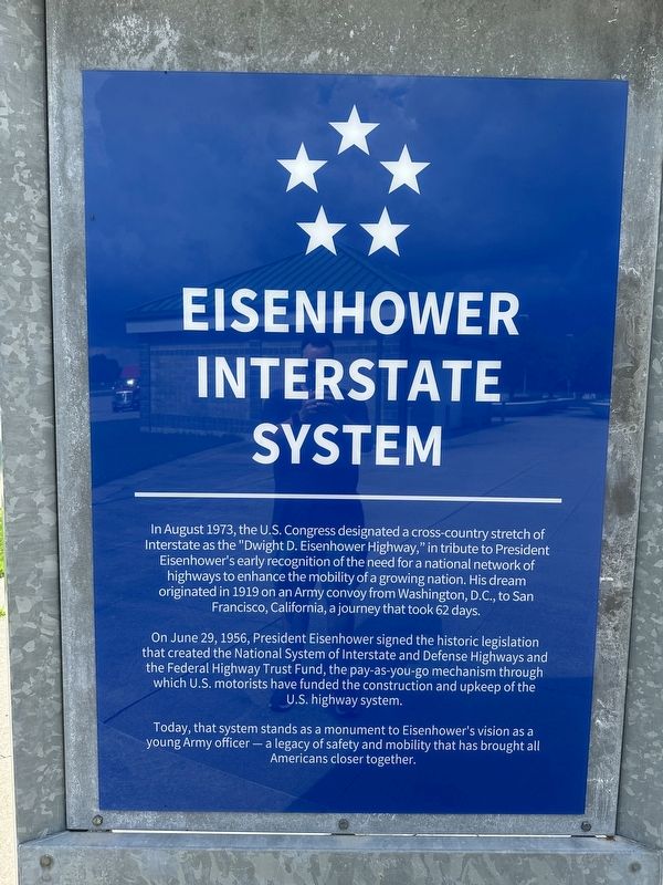
 
 
Eisenhower Interstate System Marker image. Click for full size.
Photographed by Pete Skillman, June 28, 2025
1. Eisenhower Interstate System Marker
Inscription. In August 1973, the U.S. Congress designated a cross-country stretch of Interstate as the "Dwight D. Eisenhower Highway," in tribute to President Eisenhower's early recognition of the need for a national network of highways to enhance the mobility of a growing nation. His dream originated in 1919 on an Army convoy from Washington, D.C., to San Francisco, California, a journey that took 62 days. On June 29, 1956, President Eisenhower signed the historic legislation that created the National System of Interstate and Defense Highways and the Federal Highway Trust Fund, the pay-as-you-go mechanism through which U.S. motorists have funded the construction and upkeep of the U.S. highway system. Today, that system stands as a monument to Eisenhower's vision as a young Army officer- a legacy of safety and mobility that has brought all Americans closer together.
 
Topics and series. This historical marker is listed in this topic list: Roads & Vehicles. In addition, it is included in the Former U.S. Presidents: #34 Dwight D. Eisenhower series list.
 
Location. 39° 56.736′ N, 82° 27.159′ W.
Paid Advertisement
Click or scan to see
this page online
Marker is in Harbor Hills, Ohio, in Licking County. It is in Licking Township. It can be reached from Dwight D. Eisenhower Highway. Touch for map. Marker is at or near this postal address: I-70, Hebron OH 43025, United States of America. Touch for directions.

Regionally, this marker is in the Columbus Metropolitan Area. It is also in the American Midwest, in the Corn Belt, in Appalachia, and specifically in Northern Appalachia. Globally, it is in North America, the Western Hemisphere, the Western World, and the Anglosphere. Historically, it finds itself in what was once the Haudenosaunee (Iroquois) Confederacy, the territory of the Mississippian Culture, and the Northwest Territory.

Other nearby markers. At least 8 other markers are within 2 miles of this marker, measured as the crow flies: Hopewell Ceremonial Earthworks (here, next to this marker); a different marker also named Hopewell Ceremonial Earthworks (within shouting distance of this marker); a different marker also named Eisenhower Interstate System (within shouting distance of this marker); Ohio Buckeye Tree (within shouting distance of this marker); a different
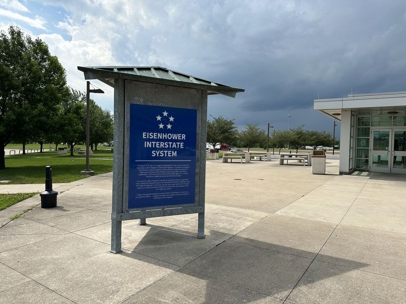
Eisenhower Interstate System Marker - wide view image. Click for full size.
Photographed by Pete Skillman, June 28, 2025
2. Eisenhower Interstate System Marker - wide view
marker also named Eisenhower Interstate System (about 700 feet away, measured in a direct line); Buckeye Lake Park (approx. 1.6 miles away); Buckeye Lake Dam (approx. 1.7 miles away); Hebron Veterans Memorial (approx. 1.8 miles away). Touch for a list and map of all markers in Harbor Hills.
 
Another marker is no longer nearby. Buckeye Lake Amusement Park (was approx. 1.6 miles away but has been permanently removed).
 
 
Credits. This page was last revised on June 29, 2025. It was originally submitted on June 29, 2025, by Pete Skillman of Townsend, Delaware. This page has been viewed 110 times since then and 13 times this year. Photos:   1, 2. submitted on June 29, 2025, by Pete Skillman of Townsend, Delaware.
m=276914

CeraNet Cloud Computing sponsors the Historical Marker Database.
This website earns income from purchases you make after using our links to Amazon.com. We appreciate your support.
Paid Advertisement
Jul. 11, 2026

