Spicewood in Burnet County, Texas — The American South (West South Central)
Rockvale
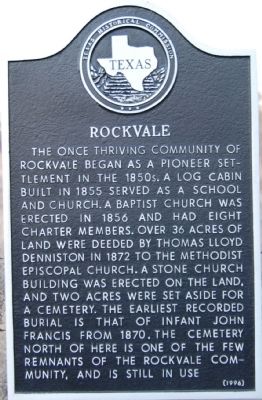
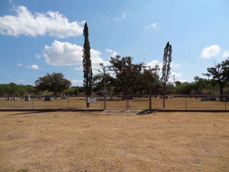
The once thriving community of Rockvale began as a pioneer settlement in the 1850s. A log cabin built in 1855 served as a school and church. A Baptist church was erected in 1856 and had eight charter members. Over 36 acres of land were deeded by Thomas Lloyd Denniston in 1872 to the Methodist Episcopal church. A stone church building was erected on the land, and two acres were set aside for a cemetery. The earliest recorded burial is that of infant John Francis from 1870. The cemetery north of here is one of the few remnants of the Rockvale community, and is still in use.
Erected 1996 by Texas Historical Commission. (Marker Number 13382.)
Topics. This historical marker is listed in these topic lists: Cemeteries & Burial Sites • Settlements & Settlers. A significant historical year for this entry is 1855.
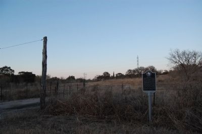
Location. 30° 30.041′ N, 98° 11.878′ W. Marker is in Spicewood, Texas, in Burnet County. Marker is on CR-404, on the right when traveling north. Touch for map. Marker is in this post office area: Spicewood TX 78669, United States of America. Touch for directions.
Other nearby markers. At least 8 other markers are within 7 miles of this marker, measured as the crow flies. Henry Thomas Lodge, A.F. & A.M. (approx. 3.4 miles away); Captain Jesse Burnam (approx. 4.1 miles away); Dead Man's Hole (approx. 4.4 miles away); Smithwick Cemetery (approx. 5˝ miles away); Marble Falls Factory Site (approx. 6.7 miles away); Otto Ebeling House (approx. 6.7 miles away); Christian-Matern House (approx. 6.7 miles away); Floyd Tillman (approx. 6.7 miles away).
Credits. This page was last revised on November 25, 2020. It was originally submitted on February 18, 2010, by Keith Peterson of Cedar Park, Texas. This page has been viewed 955 times since then and 24 times this year. Photos: 1, 2. submitted on February 18, 2010, by Keith Peterson of Cedar Park, Texas. 3. submitted on September 22, 2019, by Keith Peterson of Cedar Park, Texas. • Bill Pfingsten was the editor who published this page.


