
Santa Monica in Los Angeles County, California — The American West (Pacific Coastal)
Grunion Run
Photographed by Craig Baker, June 29, 2025
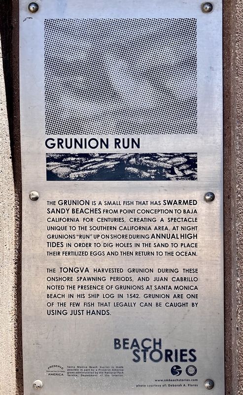
1. Grunion Run Marker
The grunion is a small fish that has swarmed sandy beaches from Point Conception to Baja California for centuries, creating a spectacle unique to the Southern California area. At night grunions "run" up on shore during annual high tides in order to dig holes in the sand to place their fertilized eggs and then return to the ocean.
The Tongva harvested grunion during these onshore spawning periods, and Juan Cabrillo noted the presence of grunions at Santa Monica Beach in his ship log in 1542. Grunion are one of the few fish that legally can be caught by using just hands.
Erected by City of Santa Monica, California State Parks, and National Park Service.
Topics. This historical marker is listed in these topic lists: Animals • Indigenous Peoples and Communities • Natural Resources.
Location. 33° 59.866′ N, 118° 29.072′ W. Marker is in Santa Monica, California, in Los Angeles County. It can be reached from Barnard Way south of Ocean Park Boulevard, on the right when traveling south. Located on the public restroom building at the south end of beach parking lot 5-South. Touch for map. Marker is at or near this postal address: 2701 Barnard Way, Santa Monica CA 90405, United States of America. Touch for directions.

Regionally, this marker is in Greater Los Angeles and in the Transverse Ranges. It is also on the American Pacific Coast. Globally, it is in North America, on the Ring of Fire, in the Pacific Rim, in the Western Hemisphere, in the Western World, and in the Anglosphere. Historically, it finds itself in what was once New Spain and also Mexico’s Alta California.
Other nearby markers. At least 8 other markers are within walking distance of this marker: Native Story (about 800 feet away, measured in a direct
this page online

Photographed by Craig Baker, June 29, 2025
2. Grunion Run Marker
Photographed by Craig Baker, June 29, 2025
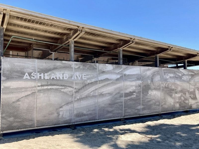
3. Grunion Run Mural
Credits. This page was last revised on June 30, 2025. It was originally submitted on June 30, 2025, by Craig Baker of Sylmar, California. This page has been viewed 144 times since then and 16 times this year. Photos: 1, 2, 3. submitted on June 30, 2025, by Craig Baker of Sylmar, California.
