
Webster Station in Dayton in Montgomery County, Ohio — The American Midwest (Great Lakes)
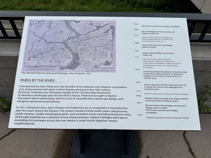
Parks by the River
Photographed by Pete Skillman, June 26, 2025
1. Parks by the River Marker
In 1911, Olmsted's sons, John Charles and Frederick Law Jr., proposed a comprehensive plan for a park system for Dayton. The system would include public parks, playgrounds, public squares, smaller landscaped parks, and recreation areas extending along the rivers, all brought together by a network of tree-lined parkways. Dayton's bridges were key to extending the parkways across the river banks in order to knit together various neighborhoods.
1905
Third Street concrete arch bridge completed1906
New Washington Street concrete arch bridge constructed1907
Dayton enters the automobile age - the Stoddard Dayton is the first car manufactured in the city1909
Dayton View concrete arch1911bridge opens to public
Click or scan to see
this page online
Stewart Street Bridge construction under way1911
Citizens, led by John Patterson advocate for filling the Miami Erie Canal; Olmsted Brothers propose the first comprehensive plan for a park system for Dayton1913
Great Flood devastates Dayton and other cities in the Miami Valley. Dayton's concrete arch bridges survive even as many others are washed away1913
Dayton becomes the first large city in the US to adopt the Council-City Manager form of government1915
Miami Conservancy District formed in Dayton1916
Webster Street concrete arch bridge, the first constructed after the flood, opens1917
Keowee Street-North Ridge concrete arch bridge opens to traffic1920
Fifth Street concrete arch bridge completed
Dayton's population grows beyond 150,000
(Caption):
The Olmstead Plan for parks and Parkways, City of Dayton, 1911
Topics. This historical marker is listed in these topic lists: Bridges & Viaducts • Disasters • Industry & Commerce • Parks & Recreational Areas. A significant historical year for this entry is 1911.
Location. 39° 46.081′ N, 84° 11.011′ W.
Photographed by Pete Skillman, June 26, 2025
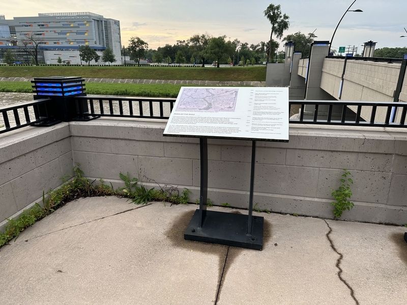
2. Parks by the River Marker - wide view

Regionally, this marker is in Ohio’s Miami Valley. It is also in the American Midwest and in the Corn Belt. Globally, it is in North America, the Western Hemisphere, the Western World, and the Anglosphere. Historically, it finds itself in what was once the Haudenosaunee (Iroquois) Confederacy, the territory of the Mississippian Culture, and the Northwest Territory.
Other nearby markers. At least 8 other markers are within walking distance of this marker: After the Flood (here, next to this marker); Bridges Under the Water (here, next to this marker); Dayton and its Bridges 1938 (here, next to this marker); A City Upon Rivers (here, next to this marker); Bridges for a New Era (here, next to this marker); Josef Melan and The Melan System of Bridge Construction in America (about 300 feet away, measured in a direct line); Webster Street Bridge Over Mad River (about 300 feet away); Dayton's New Bridges 2017 (about 300 feet away). Touch for a list and map of all markers in Dayton.
Credits. This page was last revised on June 30, 2025. It was originally submitted on June 30, 2025, by Pete Skillman of Townsend, Delaware. This page has been viewed 90 times since then and 11 times this year. Photos: 1, 2. submitted on June 30, 2025, by Pete Skillman of Townsend, Delaware.
