Dixon Township near Concord in Preble County, Ohio — The American Midwest (Great Lakes)
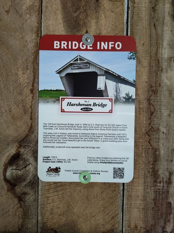
Harshman Bridge
Built 1894
| — | Bridge Info | — |
Photographed by Craig Doda, June 28, 2025
1. Harshman Bridge Marker
This area, rich in history, was home to Delaware Native American families until 1815, inspiring the Legend of Tallawanda. According to the legend, Tallawanda, a beautiful Native American maiden, discovered her own reflection in a creek pool after being told she would see the "most beautiful girl in the forest" there. A grand wedding pow-wow followed her realization.
Additionally, a sawmill once operated near the bridge site.
Length: 109 ft.
Builders: E.S. Sherman, J.M. Acton Project Cost (1894): $3,184
Erected by Preble County Convention & Visitors Bureau. (Marker Number No. 3.)
Topics and series. This historical marker is listed in these topic lists: Bridges & Viaducts • Indigenous Peoples and Communities. In addition, it is included in the Covered Bridges series list. A significant historical year for this entry is 1894.
Location. 39° 42.146′ N, 84° 46.173′ W. Marker
this page online

Regionally, this marker is in the Till Plains. It is also in the American Midwest and in the Corn Belt. Globally, it is in North America, the Western Hemisphere, the Western World, and the Anglosphere. Historically, it finds itself in what was once the Haudenosaunee (Iroquois) Confederacy, the territory of the Mississippian Culture, and the Northwest Territory.
Other nearby markers. At least 8 other markers are within 7 miles of this marker, measured as the crow flies: The Concord Church (approx. ¾ mile away); Bunker Hill House (approx. 4½ miles away); Mary Lander (approx. 6½ miles away); Preble County Veterans Memorial (approx. 6½ miles away); The Whispering Oak (approx. 6½ miles away); Ortt Fort Saint Clair Memorial (approx. 6.6 miles away); Physicians in the Indian Wars / Roster of Physicians in the Indian Wars
Photographed by Craig Doda, June 28, 2025
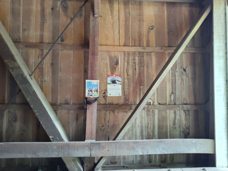
2. Harshman Bridge Marker
Photographed by Craig Doda, June 28, 2025
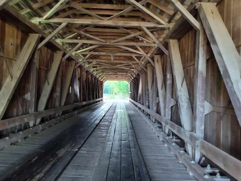
3. Harshman Bridge Marker
Photographed by Craig Doda, June 28, 2025
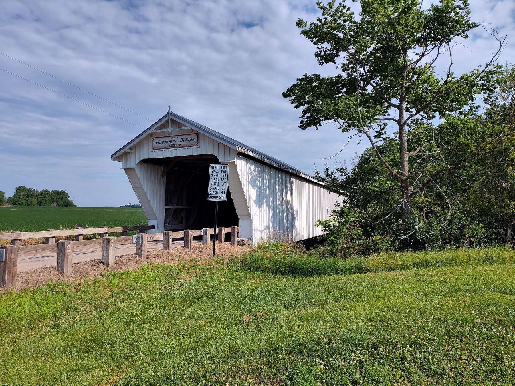
4. Harshman Bridge Marker
Credits. This page was last revised on July 9, 2025. It was originally submitted on July 2, 2025, by Craig Doda of Napoleon, Ohio. This page has been viewed 162 times since then and 68 times this year. Photos: 1, 2, 3, 4. submitted on July 2, 2025, by Craig Doda of Napoleon, Ohio. • Andrew Ruppenstein was the editor who published this page.
