
Newport News, Virginia — The American South (Mid-Atlantic)
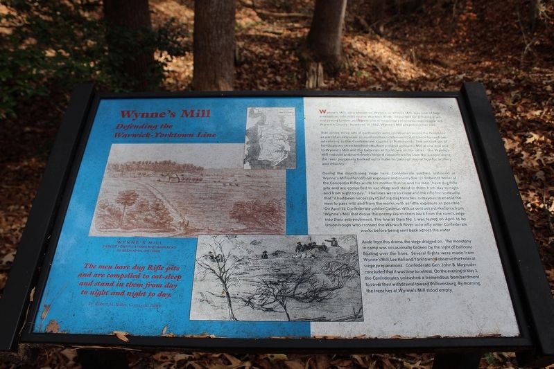
Wynne's Mill
Defending the Warwick-Yorktown Line
Photographed by Evan Dwyer, November 23, 2024
1. Wynne's Mill Marker
That spring, three sets of earthworks were constructed across the Peninsula as part of an extensive array of southern defenses to stall Union forces from advancing to the Confederate capitol at Richmond. The second set of fortifications stretched from Mulberry Island and Lee's Mill at one end and to Wynne's Mill and the batteries at Yorktown on the other. The Wynne's Mill redoubt and earthworks helped support nearby Dam No. 1, a spot along the river purposely backed up to make its passage impractical for artillery and infantry.
During the month-long siege here, Confederate soldiers stationed at Wynne's Mill suffered from exposure and enemy fire. Lt. Robert H. Miller of the Concordia Rifles wrote his mother that he and his men "have dug Rifle pits and are compelled to eat sleep and stand in them from day to night and from night to day." The
this page online
Aside from this drama, the siege dragged on. The monotony in camp was occasionally broken by the sight of balloons floating over the lines. Several flights were made from Wynne's Mill, Lee Hall and Yorktown to observe the Federal siege preparations. Confederate Gen. John B. Magruder concluded that it was time to retreat. On the evening of May 3, the Confederates unleashed a tremendous bombardment to cover their withdrawal toward Williamsburg. By morning, the trenches at Wynne's Mill stood empty.
The men have dug Rifle pits and are compelled to eat-sleep and stand in them from day to night and night to day.
Photographed by Evan Dwyer, November 23, 2024
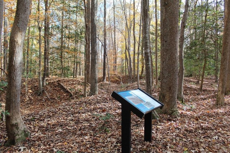
2. Wynne's Mill Marker
Beyond the trail is a series of complex earthen fortifications built by Confederates during the early Civil War.
Topics. This historical marker is listed in these topic lists: Industry & Commerce • War, US Civil. A significant historical date for this entry is April 16, 1862.
Location. 37° 11.71′ N, 76° 31.519′ W. Marker is in Newport News, Virginia. It can be reached from Constitution Way east of Jefferson Avenue (Virginia Route 143), on the left when traveling east. Marker is on the Wynne's Mill Trail within Newport News Park. Touch for map. Marker is in this post office area: Newport News VA 23608, United States of America. Touch for directions.

Regionally, this marker is on Virginia’s Peninsula, in Hampton Roads, in Coastal Virginia, and in the Hampton Roads Metropolitan Area. It is also in the American South, specifically in the Upper South, in the Tidewater, and on the Eastern Seaboard. Globally, it is in the North Atlantic Region, North America, the Western Hemisphere, the Western World, and the Anglosphere. Historically, it finds itself in what was once the territory of the Mississippian Culture, one of the original Thirteen Colonies, one of the Confederate States of America, and the Antebellum
Photographed by Evan Dwyer, November 23, 2024
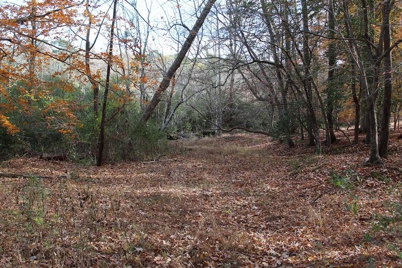
3. Wynne's Mill Road Trace
This is the remnant of the historic road that once ran down to the creek and, after crossing to the east bank, to Wynne's Mill itself.
Other nearby markers. At least 8 other markers are within walking distance of this marker: Meadowfield (within shouting distance of this marker); Beaver Dam Creek (approx. 0.6 miles away); Comte de Rochambeau (approx. 0.6 miles away); Washington’s Headquarters (approx. 0.7 miles away); The Adjutant General (approx. 0.7 miles away); Headquarters Site of Henry Knox (approx. 0.7 miles away); French Cemetery (approx. ¾ mile away); French Artillery Park (approx. 0.8 miles away).
Credits. This page was last revised on July 4, 2025. It was originally submitted on July 2, 2025, by Evan Dwyer of Richmond, Virginia. This page has been viewed 176 times since then and 24 times this year. Photos: 1, 2, 3. submitted on July 2, 2025, by Evan Dwyer of Richmond, Virginia. • Bernard Fisher was the editor who published this page.
