Marco Island in Collier County, Florida — The American South (South Atlantic)
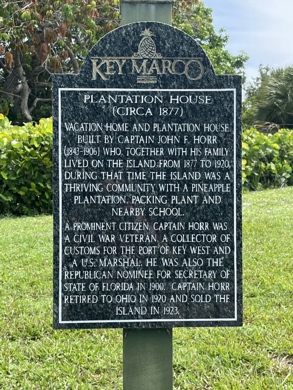
Plantation House (Circa 1877)
Photographed by Patrick Duggan, July 2, 2025
1. Plantation House (Circa 1877) Marker
A prominent citizen, Captain Horr was a Civil War veteran, a Collector of Customs for the Port of Key West and a U.S. Marshal. He was also the Republican nominee for Secretary of State of Florida in 1900. Captain Horr retired to Ohio in 1920 and sold the island in 1923.
Erected by Key Marco.
Topics. This historical marker is listed in these topic lists: Agriculture • Settlements & Settlers. A significant historical year for this entry is 1877.
Location. 25° 54.206′ N, 81° 41.255′ W. Marker is on Marco Island, Florida, in Collier County. It is on Blue Hill Creek Drive one mile west of Whiskey Creek Drive, on the right when traveling west. The site and marker are located within the private Key Marco gated community. The area was formerly known as Horr’s Island. Touch for map. Marker is at or near this postal address: 1247 Blue Hill Creek Drive, Marco Island
this page online

Regionally, this marker is on the Gulf Coast. It is also in the American South and on the Gulf Coast. Globally, it is in the North Atlantic Region, North America, a Gulf of Mexico state, the Western Hemisphere, the Western World, and the Anglosphere. Historically, it finds itself in what was once New Spain, the territory of the Mississippian Culture, one of the Confederate States of America, and the Antebellum South.
Other nearby markers. At least 8 other markers are within 9 miles of this marker, measured as the crow flies: Burnham Clam Factory (approx. ¾ mile away); Indian Hill Barfield Homesite (approx. 0.8 miles away); Caxambas Cemetery (approx. 1.3 miles away); Pineapple Plantation (approx. 2 miles away); Goodland Village and Access Road (approx. 2.8 miles away); The Blockhouse (approx. 8.3 miles away); Bay City Walking Dredge No. 489 (approx. 8½ miles away); How the Dredge Walks (approx. 8½ miles away). Touch for a list and map of all markers in Marco Island.
Also see . . . Horr, Captain John Foley House (pdf file). National Register of Historic
Photographed by Patrick Duggan, July 2, 2025
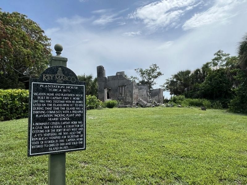
2. Plantation House ruins and marker
Photographed by Patrick Duggan, July 2, 2025
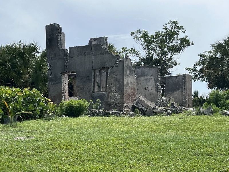
3. The ruins of Horr’s plantation house
Credits. This page was last revised on July 3, 2025. It was originally submitted on July 2, 2025, by Patrick Duggan of Los Angeles, California. This page has been viewed 239 times since then and 82 times this year. Photos: 1, 2, 3. submitted on July 2, 2025, by Patrick Duggan of Los Angeles, California. • Bernard Fisher was the editor who published this page.
