West Point in King William County, Virginia — The American South (Mid-Atlantic)
Civil War Breastwork
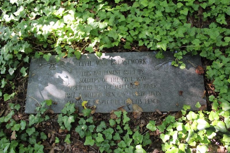
Photographed by Evan Dwyer, June 19, 2025
1. Civil War Breastwork Marker
Topics. This historical marker is listed in these topic lists: Forts and Castles • War, US Civil. A significant historical year for this entry is 1863.
Location. 37° 32.936′ N, 76° 48.773′ W. Marker is in West Point, Virginia, in King William County. It can be reached from the intersection of Southern Avenue and Oak Grove Avenue. Marker is on top of the earthworks in the woods next to the corner where Oak Grove Avenue bends northwest to become Southern Avenue. Touch for map. Marker is in this post office area: West Point VA 23181, United States of America. Touch for directions.

Regionally, this marker is on Virginia’s Middle Peninsula. It is also in the American South, specifically in the Upper South, in the Tidewater, in the Chesapeake Bay Region, and on the Eastern Seaboard. Globally, it is in the North Atlantic Region, North America, the Western Hemisphere, the Western World, and the Anglosphere. Historically, it finds itself in what was once
this page online
Other nearby markers. At least 8 other markers are within 2 miles of this marker, measured as the crow flies: Veterans Memorial (approx. half a mile away); A Salute To Veterans (approx. half a mile away); Lt. Gen. Lewis Burwell “Chesty” Puller (approx. 1.1 miles away); Mt. Nebo Baptist Church (approx. 1.2 miles away); Indians Poisoned At Peace Meeting (approx. 1.2 miles away); Indian Treaty of 1646 (approx. 1.3 miles away); King William County / King and Queen County (approx. 1.3 miles away); The Grove Hotel (approx. 1½ miles away). Touch for a list and map of all markers in West Point.
Another marker is no longer nearby. Home of Signer (was approx. 1.1 miles away but has been confirmed missing).
More about this marker. The marker was installed by a previous landowner. The property is now owned by the Richmond Battlefields Association. Note there is no parking area here and the area is not conditioned for public access - it is preserved, but remains naturally forested
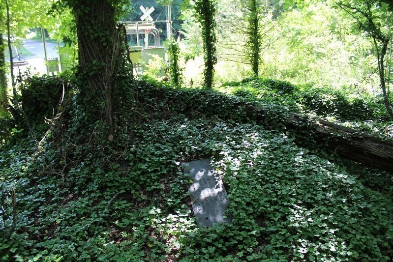
Photographed by Evan Dwyer, June 19, 2025
2. Civil War Breastwork Marker
On top of the earthwork. Note, walking on the earthworks damages them. This was only done here to add the marker to the database.
Regarding Civil War Breastwork. The remains of the river battery marked by this tablet were constructed by Federal forces in 1863 during the American Civil War. There are additional earthworks southeast of the battery and across the railroad tracks to the northeast that served as a "curtain" (i.e., for infantry) between strongpoints (like the river battery, thought to be either "Fort Lincoln" or "Fort McClellan," which was thicker and intended to protect artillery while providing advantageous firing angles for the guns).
Also see . . . West Point (Pamunkey River Fort). Richmond Battlefields Association (Submitted on July 3, 2025.)
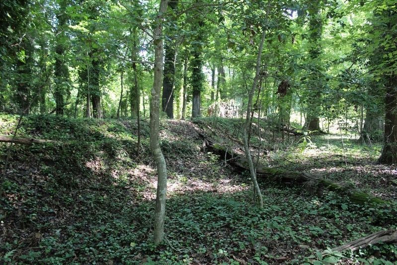
Photographed by Evan Dwyer, June 19, 2025
3. Civil War Breastwork
View of the earthwork's exterior and protective trench.
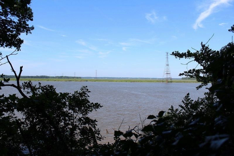
Photographed by Evan Dwyer, June 19, 2025
4. Pamunkey River
View from the earthworks, showing the vantage point the work commanded over the waterway.
Credits. This page was last revised on August 29, 2026. It was originally submitted on July 2, 2025, by Evan Dwyer of Richmond, Virginia. This page has been viewed 108 times since then and 16 times this year. Photos: 1. submitted on July 2, 2025, by Evan Dwyer of Richmond, Virginia. 2, 3, 4. submitted on August 29, 2026, by Evan Dwyer of Richmond, Virginia. • Bernard Fisher was the editor who published this page.
