Knaresborough in North Yorkshire, England, United Kingdom — Northwestern Europe (the British Isles)
The Courthouse
Knaresborough Castle
Photographed by Ray Gurganus, April 18, 2025
1. The Courthouse Marker
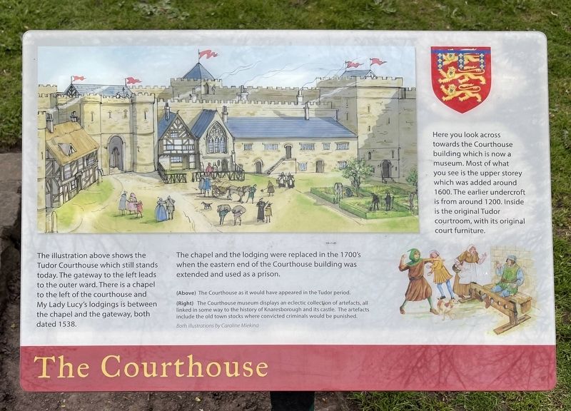
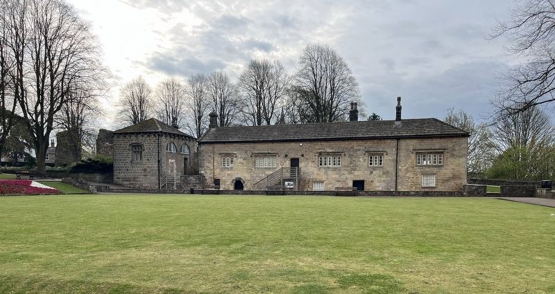
The illustration above shows the Tudor Courthouse which still stands today. The gateway to the left leads to the outer ward. There is a chapel to the left of the courthouse and My Lady Lucy's lodgings is between the chapel and the gateway, both dated 1538.
The chapel and the lodging were replaced in the 1700's when the eastern end of the Courthouse building was extended and used as a prison.
Topics. This historical marker is listed in this topic list: Law Enforcement. A significant historical year for this entry is 1538.
Location. 54° 0.414′ N, 1° 28.193′ W. Marker is in Knaresborough, England, in North Yorkshire. It can be reached from Waterside. On the grounds of Knaresborough Castle. Touch for map. Marker is at or near this postal address: 14 Waterside, Knaresborough, England HG5 8AS, United Kingdom. Touch for directions.

Regionally, this marker is
this page online
Other nearby markers. At least 8 other markers are within walking distance of this marker: World War I Centenary Commemoration (a few steps from this marker); Nidd Gorge (within shouting distance of this marker); The King's Tower (within shouting distance of this marker); The Courthouse Museum (within shouting distance of this marker); Sallyport (about 90 meters away, measured in a direct line); Knaresborough Castle (about 90 meters away); a different marker also named The King's Tower (about 90 meters away); a different marker also named Knaresborough Castle (about 120 meters away). Touch for a list and map of all markers in Knaresborough.
Photographed by Ray Gurganus, April 18, 2025
2. The Courthouse Building
Credits. This page was last revised on July 7, 2025. It was originally submitted on July 5, 2025, by Ray Gurganus of Washington, District of Columbia. This page has been viewed 78 times since then and 6 times this year. Photos: 1, 2. submitted on July 5, 2025, by Ray Gurganus of Washington, District of Columbia. • Andrew Ruppenstein was the editor who published this page.
