Knaresborough in North Yorkshire, England, United Kingdom — Northwestern Europe (the British Isles)
The Courthouse Museum
Photographed by Ray Gurganus, April 18, 2025
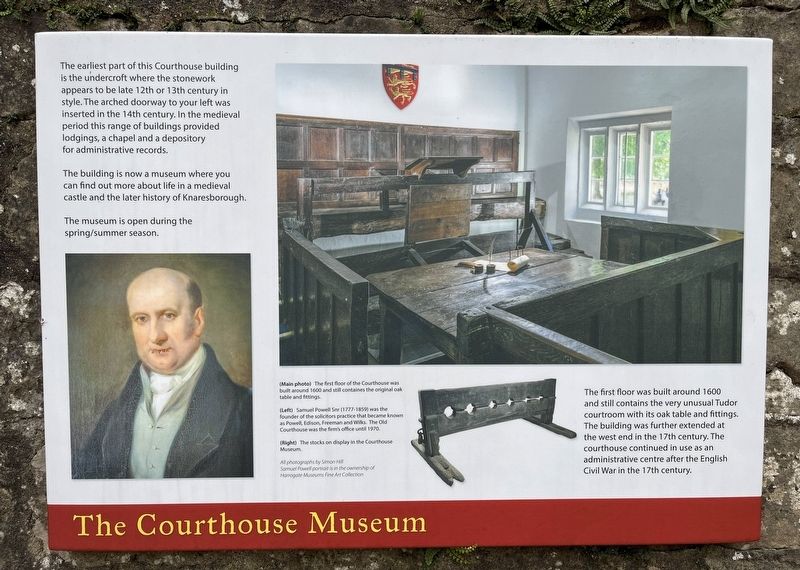
1. The Courthouse Museum Marker
The building is now a museum where you can find out more about life in a medieval castle and the later history of Knaresborough.
The museum is open during the spring/summer season.
The first floor was built around 1600 and still contains the very unusual Tudor courtroom with its oak table and fittings. The building was further extended at the west end in the 17th century. The courthouse continued in use as an administrative centre after the English Civil War in the 17th century.
(Main photo) The first floor of the Courthouse built around 1000 and still contains the original oak table and fittings.
(Left) Samuel Powell Snr (1777-1859) was the founder of the solicitors practice that became know as Powell, Edison, Freeman and Wilks. The Old Courthouse was the firms office until 1970.
(Right)
this page online
Topics. This historical marker is listed in this topic list: Law Enforcement. A significant historical year for this entry is 1600.
Location. 54° 0.403′ N, 1° 28.15′ W. Marker is in Knaresborough, England, in North Yorkshire. It can be reached from Waterside. On the grounds of Knaresborough Castle. Touch for map. Marker is at or near this postal address: 23a Waterside, Knaresborough, England HG5 8DE, United Kingdom. Touch for directions.

Regionally, this marker is in Yorkshire & The Humber. Globally, it is on the Atlantic Ocean, in the North Atlantic Region, in Europe, in Atlantic Europe, on one of the British Isles, in the Western World, and in the Anglosphere. Historically, it finds itself in what was once the Roman Empire.
Other nearby markers. At least 8 other markers are within walking distance of this marker: The King's Tower (within shouting distance of this marker); Sallyport (within shouting distance of this marker); Nidd Gorge (within shouting distance of this marker); The Courthouse (within shouting distance of this marker); World War I Centenary Commemoration
Photographed by Ray Gurganus, April 18, 2025
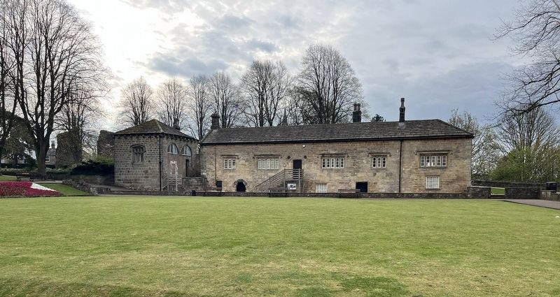
2. The Courthouse Building
Credits. This page was last revised on July 8, 2025. It was originally submitted on July 5, 2025, by Ray Gurganus of Washington, District of Columbia. This page has been viewed 96 times since then and 9 times this year. Photos: 1, 2. submitted on July 5, 2025, by Ray Gurganus of Washington, District of Columbia. • Andrew Ruppenstein was the editor who published this page.
Editor’s want-list for this marker. photo of the marker within its surroundings • Can you help?
