Near Clinton in Laurens County, South Carolina — The American South (South Atlantic)
Providence Associate Reformed Presbyterian Church
Photographed by J. J. Prats, May 19, 2025
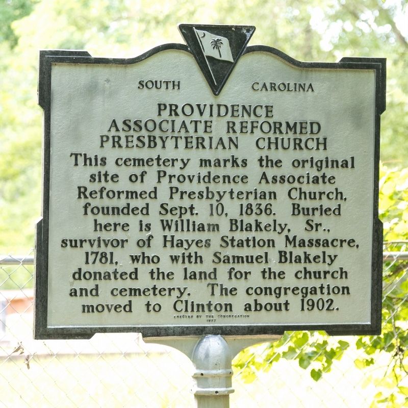
1. Providence Associate Reformed Presbyterian Church Marker
Erected 1977 by Congregation of Providence Associate Reformed Presbyterian Church. (Marker Number 30-4.)
Topics. This historical marker is listed in these topic lists: Cemeteries & Burial Sites • War, US Revolutionary. A significant historical date for this entry is September 10, 1941.
Location. 34° 27.918′ N, 81° 55.085′ W. Marker is near Clinton, South Carolina, in Laurens County. It can be reached from the intersection of A B Jacks Road and Bar B Villa Road, on the right when traveling south. Access is via a gravel drive just north of the Bar B Villa Road intersection that is gated and the gate is often locked. Just past the gate, veer right onto a grassy track that enters the pine woods. After a while the cemetery and marker at a small clearing. Touch for map. Marker is at or near this postal address: 44 Bar B Villa Rd, Clinton SC 29325, United States of
this page online

Regionally, this marker is in Upstate. It is also in the American South and specifically in the Deep South. Globally, it is in North America, the Western Hemisphere, the Western World, and the Anglosphere. Historically, it finds itself in what was once the territory of the Mississippian Culture, one of the original Thirteen Colonies, one of the Confederate States of America, and the Antebellum South.
Other nearby markers. At least 8 other markers are within 3 miles of this marker, measured as the crow flies: A different marker also named Providence Associate Reformed Presbyterian Church (approx. 0.7 miles away); William C. Dobbins Highway (approx. ¾ mile away); Bell Street School / Martha Dendy School (approx. 1.6 miles away); Friendship A.M.E. Church & Cemetery / Bell Street Schools (approx. 1.6 miles away); Malcolm A. MacDonald (approx. 2.1 miles away); William Plumer Jacobs, D.D., LL.D. (approx. 2.1 miles away); Henry Clinton Young (approx. 2.2 miles away); Clinton Veterans Monument (approx. 2.2 miles away). Touch for a list and map of all markers in Clinton.
Photographed by J. J. Prats, May 19, 2025
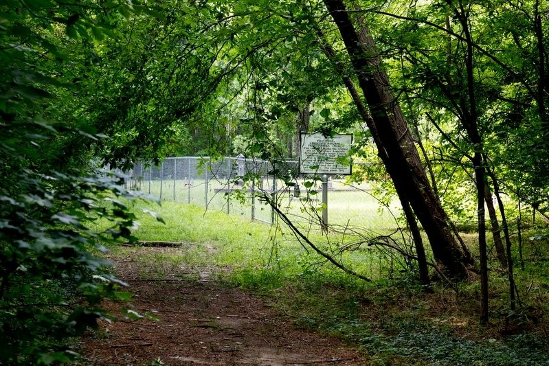
2. Providence Associate Reformed Presbyterian Church Cemetery and Marker
Photographed by J. J. Prats, May 19, 2025
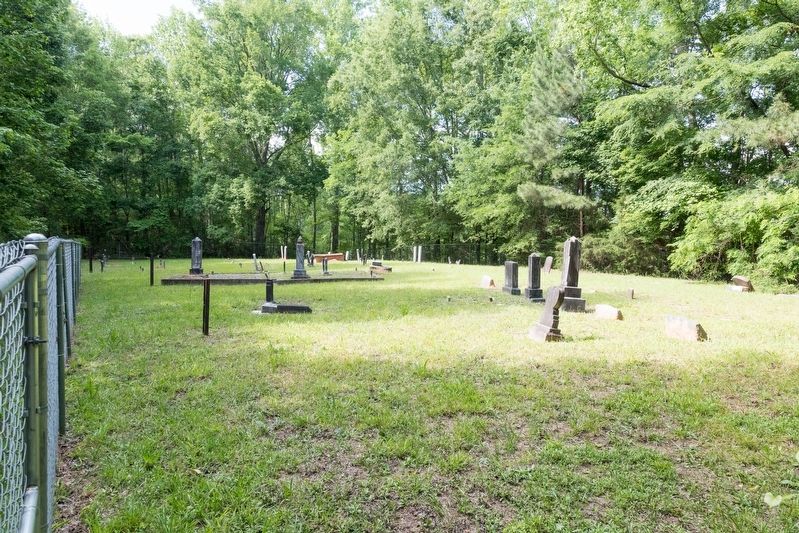
3. Providence Associate Reformed Presbyterian Church Cemetery
Credits. This page was last revised on July 5, 2025. It was originally submitted on July 5, 2025, by J. J. Prats of Powell, Ohio. This page has been viewed 111 times since then and 17 times this year. Photos: 1, 2, 3. submitted on July 5, 2025, by J. J. Prats of Powell, Ohio.
