Clinton in Laurens County, South Carolina — The American South (South Atlantic)
Friendship A.M.E. Church & Cemetery
⎯⎯⎯
Bell Street Schools
Photographed by J. J. Prats, May 19, 2025
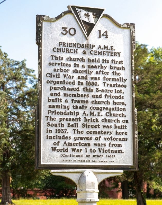
1. Friendship A.M.E. Church & Cemetery side of marker
Friendship A.M.E. Church & Cemetery. This church held its first services in a nearby brush arbor shortly after the Civil War and was formally organized in 1880. Trustees purchased this 3-acre lot, and members and friends built a frame church here, naming their congregation Friendship A. M. E. Church. The present brick church on South Bell Street was built in 1937. The cemetery here includes graves of veterans of American wars from World War I to Vietnam.
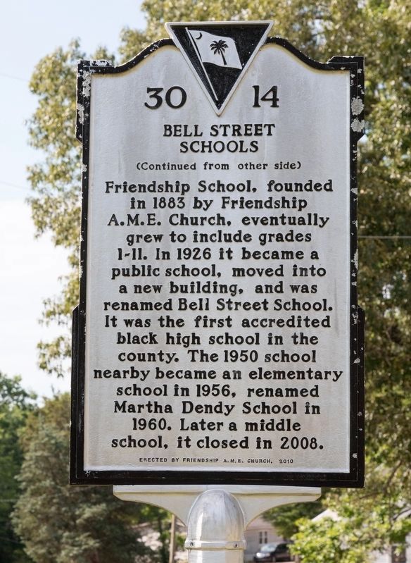
Bell Street Schools. Friendship School, founded in 1883 by Friendship A.M.E. Church, eventually grew to include grades 1-11. In 1926 it became a public school, moved into a new building, and was renamed Bell Street School. It was the first accredited black high school in the county. The 1950 school nearby became an elementary school in 1956, renamed Martha Dendy School in 1960. Later a middle school, it closed in 2008.
Erected 2010 by Friendship A. M. E. Church. (Marker Number 30-14.)
Topics. This historical marker is listed in these topic lists: African Americans • Cemeteries & Burial Sites • Education • Religion & Religious Structures. A significant historical year for this entry is 1880.
Location. 34° 28.571′ N,
this page online

Regionally, this marker is in Upstate. It is also in the American South and specifically in the Deep South. Globally, it is in North America, the Western Hemisphere, the Western World, and the Anglosphere. Historically, it finds itself in what was once the territory of the Mississippian Culture, one of the original Thirteen Colonies, one of the Confederate States of America, and the Antebellum South.
Other nearby markers. At least 8 other markers are within walking distance of this marker: Bell Street School / Martha Dendy School (about 700 feet away, measured in a direct line); A Piece of Musgrove's Mill (approx. 0.7 miles away); Broad Street Methodist Church (approx. ¾ mile away); Henry Clinton Young (approx. ¾ mile away); Clinton Veterans Monument (approx. ¾ mile away);
Photographed by J. J. Prats, May 19, 2025
2. Bell Street Schools side of marker
Photographed by J. J. Prats, May 19, 2025
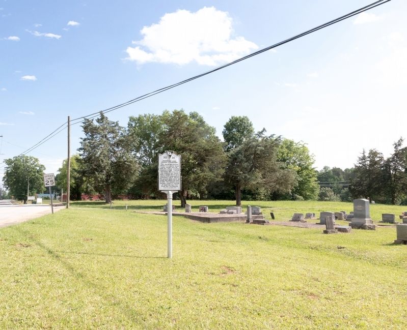
3. Friendship A.M.E. Church Cemetery and Marker
Photographed by J. J. Prats, May 19, 2025
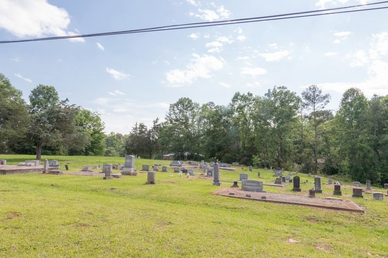
4. Friendship A.M.E. Church Cemetery
View of the cemetery from the marker.
Credits. This page was last revised on July 5, 2025. It was originally submitted on July 5, 2025, by J. J. Prats of Powell, Ohio. This page has been viewed 129 times since then and 38 times this year. Photos: 1, 2, 3, 4. submitted on July 5, 2025, by J. J. Prats of Powell, Ohio.
