Webster Station in Dayton in Montgomery County, Ohio — The American Midwest (Great Lakes)
Dayton Canal-Era Timeline
| — | Patterson Boulevard Canal Parkway | — |
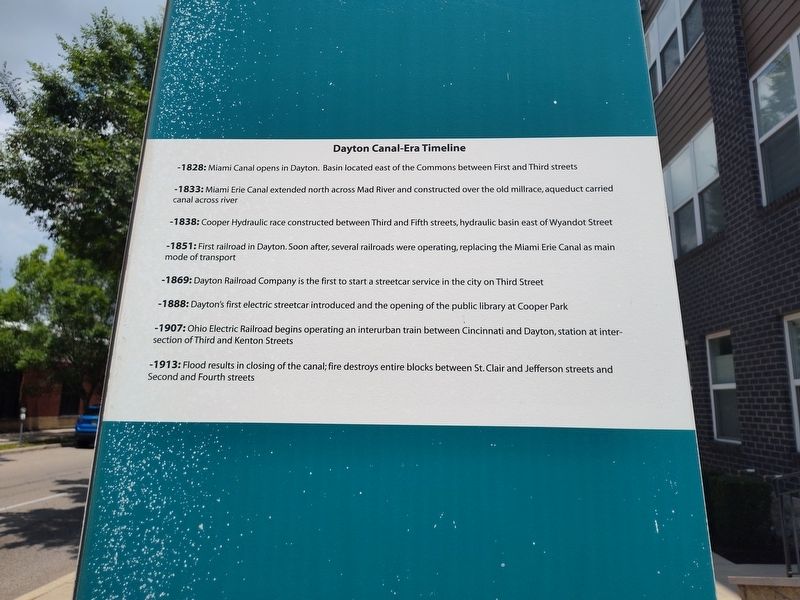
Photographed by Craig Doda, June 28, 2025
1. Dayton Canal-Era Timeline Marker
-1828: Miami Canal opens in Dayton. Basin located east of the Commons between First and Third streets.
-1833: Miami Erie Canal extended north across Mad River and constructed over the old millrace, aqueduct carried canal across river.
-1838: Cooper Hydraulic race constructed between Third and Fifth streets, hydraulic basin east of Wyandot Street.
-1851: First railroad in Dayton. Soon after, several railroads were operating, replacing the Miami Erie Canal as main mode of transport.
-1869: Dayton Railroad Company is the first to start a streetcar service in the city on Third Street.
-1888: Dayton's first electric streetcar introduced and the opening of the public library at Cooper Park.
-1907: Ohio Electric Railroad begins operating an interurban train between Cincinnati and Dayton, station at intersection of Third and Kenton Streets.
-1913: Flood results in closing of the canal; fire destroys entire blocks between St. Clair and Jefferson streets and Second and Fourth streets.
Topics. This historical marker is listed in these topic lists: Disasters • Railroads & Streetcars • Waterways & Vessels. A significant historical year for this entry is 1838.
Location. 39° 45.543′ N,
this page online

Regionally, this marker is in the Miami Valley. It is also in the American Midwest and in the Corn Belt. Globally, it is in North America, the Western Hemisphere, the Western World, and the Anglosphere. Historically, it finds itself in what was once the Haudenosaunee (Iroquois) Confederacy, the territory of the Mississippian Culture, and the Northwest Territory.
Other nearby markers. At least 8 other markers are within walking distance of this marker: The Beaver Power Building (here, next to this marker); Canal Buildings of the Past (here, next to this marker); The Rebuilding - Fire Blocks and Merchants Row (here, next to this marker); Fire Blocks - The Flood and the Fire (here, next to this marker); The Fire Blocks - Merchants Row
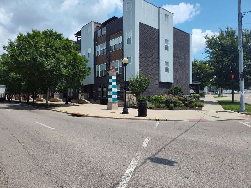
Photographed by Craig Doda, June 28, 2025
2. Dayton Canal-Era Timeline Marker
Credits. This page was last revised on July 26, 2025. It was originally submitted on July 6, 2025, by Craig Doda of Napoleon, Ohio. This page has been viewed 91 times since then and 28 times this year. Photos: 1, 2. submitted on July 6, 2025, by Craig Doda of Napoleon, Ohio. • Devry Becker Jones was the editor who published this page.
