Webster Station in Dayton in Montgomery County, Ohio — The American Midwest (Great Lakes)
Canal Buildings of the Past
| — | Patterson Boulevard Canal Parkway | — |
Photographed by Craig Doda, June 28, 2025
1. Canal Buildings of the Past Marker
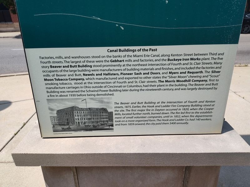
Factories, mills, and warehouses stood on the banks of the Miami Erie Canal, along Kenton Street between Third and Fourth streets. The largest of these were the Gebhart mills and factories, and the Buckeye Iron Works plant. The five story Beaver and Butt Building stood prominently at the northeast intersection of Fourth and St. Clair Streets. Many occupants of the large building were manufacturers of building materials and finishes, and included the factories and mills of Beaver and Butt, Newels and Hallisters, Pioneer Sash and Doors, and Myers and Requarth. The Silver Moon Tobacco Company, which manufactured and exported to other states the "Silver Moon" chewing and "Scout" smoking tobacco, stood at the intersection of Fourth and St. Clair streets. The Morris Woodhill Company, first to manufacture carriages in Ohio outside of Cincinnati or Columbus, had their plant in the building. The Beaver and Butt Building was renamed the Schwind Power Building later during the nineteenth century, and was largely destroyed by a fire in about 1930 before being demolished.
The Beaver and Butt Building at the intersection of Fourth and Kenton streets, 1875. Earlier, the Hook and Ladder Fire Company Building stood at the site. The first major fire in Dayton occurred in 1820, when the Cooper Mills, located further north, burned down. The fire led first to the establishment of small volunteer companies, until in 1852, when fire departments took on a more organized form. The Hook and Ladder Co. had 140 workers, and from 1859 onward, the city paid them $400 annually.
Topics.
this page online
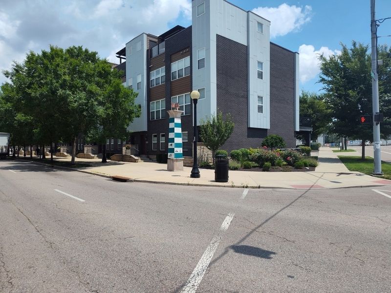
Location. 39° 45.544′ N, 84° 11.222′ W. Marker is in Dayton, Ohio, in Montgomery County. It is in Webster Station. It is at the intersection of South Patterson Boulevard and East 4th Street, on the right when traveling north on South Patterson Boulevard. Touch for map. Marker is at or near this postal address: 217 E 4th St, Dayton OH 45402, United States of America. Touch for directions.

Regionally, this marker is in the Miami Valley. It is also in the American Midwest and in the Corn Belt. Globally, it is in North America, the Western Hemisphere, the Western World, and the Anglosphere. Historically, it finds itself in what was once the Haudenosaunee (Iroquois) Confederacy, the territory of the Mississippian Culture, and the Northwest Territory.
Other nearby markers. At least 8 other markers are within walking distance of this marker: The Beaver Power Building (here, next to this marker); The Fire Blocks - Merchants Row (here,
Photographed by Craig Doda, June 28, 2025
2. Canal Buildings of the Past Marker
Credits. This page was last revised on July 26, 2025. It was originally submitted on July 6, 2025, by Craig Doda of Napoleon, Ohio. This page has been viewed 75 times since then and 23 times this year. Photos: 1, 2. submitted on July 6, 2025, by Craig Doda of Napoleon, Ohio. • Devry Becker Jones was the editor who published this page.
